1703 Genroku Earthquake
At two o'clock in the morning on December 31, 1703, the ground beneath Edo -- the city that would become Tokyo -- began to shake with a violence that would not be matched for over two centuries. The Genroku earthquake ruptured along the Sagami Trough, where the Philippine Sea Plate grinds beneath the Eurasian Plate, releasing energy equivalent to a magnitude 8.1 to 8.4 event across at least two and probably three fault segments. Within minutes, fires erupted in the darkness. Within hours, a tsunami was racing toward coastlines from the Izu Peninsula to the Boso Peninsula. By the time the sea retreated, at least 5,233 people were dead -- some estimates push the toll as high as 200,000.
The Last Night of Genroku
The earthquake struck during the Genroku era, a culturally significant period spanning 1688 to 1704 that marked a golden age of arts, commerce, and urban life in Edo-period Japan. The timing could hardly have been worse: the middle of a winter night, when residents were asleep in wooden houses heated by open flame. The shaking was catastrophic across the southern Kanto region, with the worst structural damage concentrated in what is now Kanagawa Prefecture. In Odawara, the earthquake sparked fires that consumed much of the castle town. Odawara Castle's keep -- a symbol of regional power since the Sengoku period -- was destroyed. A total of 8,007 houses collapsed from the shaking alone, and another 563 burned in the fires that followed, killing an estimated 2,300 people before the sea had its turn.
The Sea Arrives
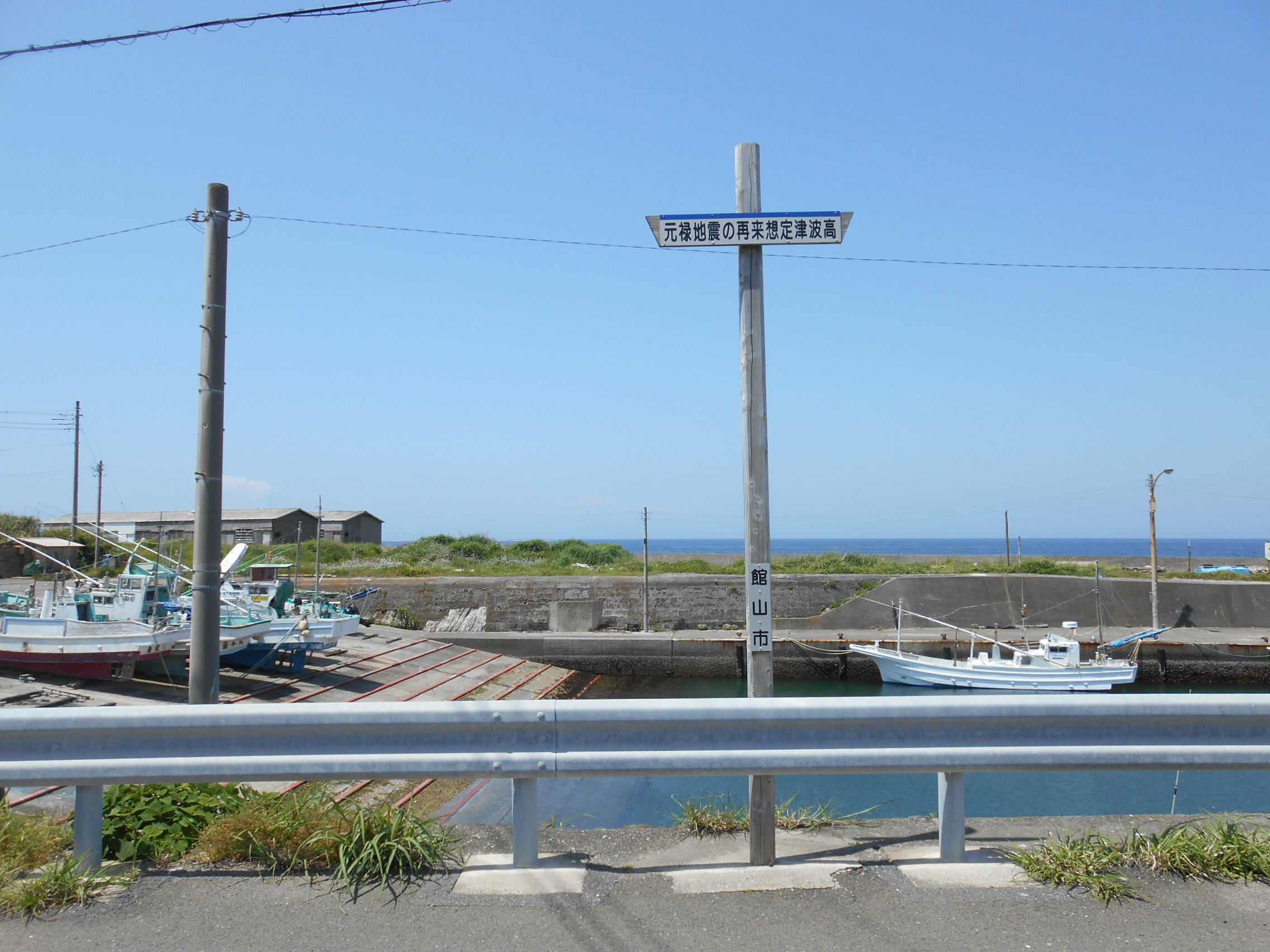
The tsunami generated by the Genroku earthquake swept across a staggering 400 kilometers of coastline. Run-up heights exceeded 5 meters over wide stretches, with the waves reaching 10.5 meters at Wada on the Boso Peninsula and 10 meters at both Izu Oshima island and Ainohama. Deaths from the tsunami were recorded from Shimoda on the eastern coast of the Izu Peninsula all the way to Isumi on the far side of the Boso Peninsula. Even Hachijo-jima, an island roughly 300 kilometers south of the epicenter, reported tsunami damage and a single death. The combined toll from earthquake, fire, and sea reached a confirmed minimum of 5,233, though one historical source records 200,000 -- a number that, if accurate, would place the Genroku event among the deadliest natural disasters in Japanese history.
The Trough Beneath
Modern seismology has revealed the Genroku earthquake's mechanism with unsettling clarity. The Sagami Trough, running offshore of the Kanto region, marks the boundary where the Philippine Sea Plate subducts beneath the continental plate at a rate of several centimeters per year. The 1703 event ruptured a 120-kilometer-long section of this interface, releasing accumulated strain in a megathrust earthquake. Analysis of coastal uplift patterns and tsunami modeling indicates that at least two and probably three distinct fault segments gave way in sequence, amplifying both the shaking and the resulting wave. This same trough would rupture again in the catastrophic 1923 Great Kanto Earthquake, which devastated Tokyo and Yokohama. The Genroku event is now understood as part of a repeating cycle along the Sagami Trough, with major earthquakes recurring at intervals that seismologists use to assess future risk to the Tokyo metropolitan area.
Echoes in the Modern City
The 1703 Genroku earthquake matters today because the same fault system remains active beneath one of the most densely populated regions on Earth. Greater Tokyo's 37 million residents live above the convergence zone of three tectonic plates, and the Sagami Trough continues to accumulate strain. Japanese seismologists study the Genroku event alongside the 1923 Great Kanto Earthquake to model potential future ruptures. Historical documents from the Edo period -- tax records, temple accounts, domain reports -- provide surprisingly detailed damage data that modern researchers use to calibrate tsunami simulations. The earthquake also left physical traces: coastal terraces uplifted by the event remain visible along parts of the Boso Peninsula, geological timestamps recording the moment the seafloor lurched upward more than three centuries ago.
From the Air
The 1703 Genroku earthquake epicenter is located at approximately 34.70N, 139.80E, in the waters between the Boso Peninsula and Izu Oshima island in Sagami Bay. From altitude, the Sagami Trough runs roughly parallel to the coast of the Kanto region. The Boso Peninsula extends southward to the east, and the Izu Peninsula reaches south to the west, framing Sagami Bay. Izu Oshima island is visible as a distinct circular landmass to the south. Nearest airports: Tokyo Haneda (RJTT) approximately 80 km northwest, Oshima Airport (RJTO) on Izu Oshima to the west, and Tateyama (RJTE) on the southern Boso Peninsula. The coastline along both peninsulas shows the geography that channeled the 1703 tsunami.