1847 Zenkoji Earthquake: The Night the Pilgrims' City Fell
They had come from across Japan to touch a sacred thread. In May 1847, the city of Nagano was swollen with pilgrims, drawn by the Gokaicho -- a ceremony held only once every seven years at Zenkoji temple, one of the oldest and most revered Buddhist temples in Japan. The streets around the temple were packed with the faithful, merchants, and travelers. Then, at 9:30 on the evening of May 8, the earth ripped open along the West Nagano Basin Fault. A magnitude 7.4 earthquake tore through the city, collapsing houses, burying families, and killing at least 8,600 people. It was one of the deadliest earthquakes of the Edo period, and the disaster was only beginning.
A City Built on a Fault Line
Nagano sits within the Fossa Magna, a great geological rift that cuts across the spine of Honshu. Millions of years ago, the opening of the Sea of Japan as a back-arc basin created a series of rift valleys along western Honshu, including the Nagano Basin. When that spreading stopped during the late Miocene, the rift zone began to compress, and the old basins started to invert. The western edge of the Nagano Basin is defined by an active reverse fault zone -- the West Nagano Basin Fault -- where tectonic pressure had been building for centuries. On that May evening, the fault ruptured. The ground shook violently, and the relatively unconsolidated Miocene sediments that fill the basin amplified the destruction. Homes built on soft ground crumbled. Fires erupted in the darkness. The temple city that had welcomed so many visitors became a place of devastation.
The Mountain That Moved
The shaking triggered landslides across the steep terrain surrounding Nagano. At least seven of these slides were large enough to block rivers entirely, forming natural dams that held back rising water. The largest and most dangerous of these occurred at the foot of Mount Iwakura, where an estimated 20 million cubic meters of earth and rock cascaded downhill and choked the Sai River, a tributary of the Shinano River. Behind this massive earthen plug, a lake began to grow. For nineteen days, water pooled and pressure mounted against the unstable wall of debris. Survivors of the earthquake, already dealing with destroyed homes and dwindling supplies, watched the lake rise with growing dread. The question was not whether the dam would fail, but when.
The Second Disaster
Nineteen days after the earthquake, the dam broke. A wall of water surged down the Sai River valley, destroying everything in its path. The flood killed at least 35 more people and obliterated houses and farmland across a wide swath downstream. For communities already reeling from the earthquake itself, the deluge was a cruel second blow. The Sai River flood became one of the most significant earthquake-triggered flood events in Japanese history, a case study in how seismic disasters cascade -- shaking triggers landslides, landslides create dams, and dams eventually fail. The 1847 sequence demonstrated that the worst consequences of an earthquake can arrive long after the shaking stops.
Zenkoji Endures
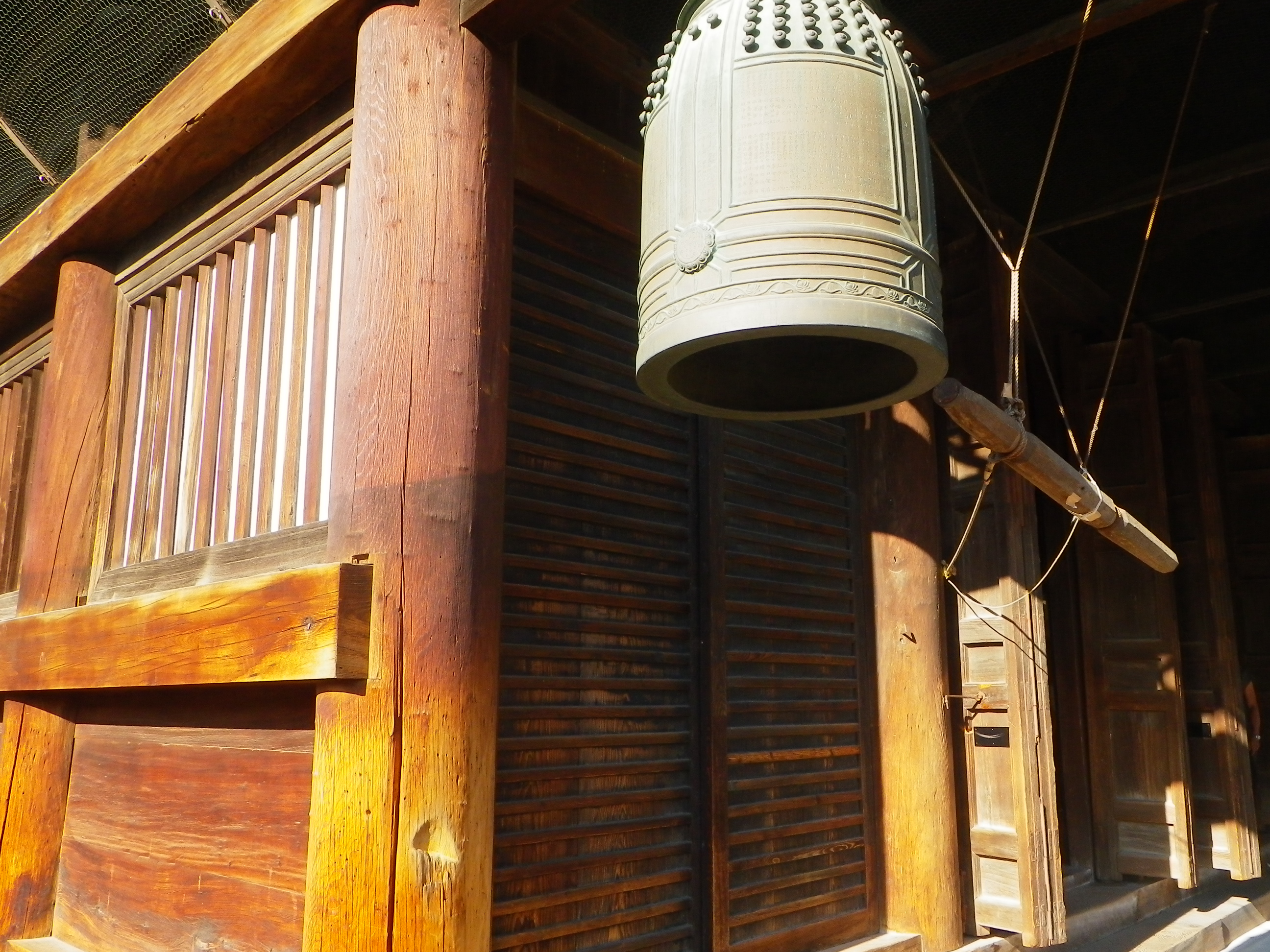
Zenkoji temple itself survived. The massive wooden structure, originally founded in the seventh century, withstood the earthquake that leveled much of the surrounding city. The temple has continued to hold its Gokaicho ceremony every seven years since, drawing hundreds of thousands of pilgrims to Nagano each time. Today, the Nagano Basin remains seismically active territory. The West Nagano Basin Fault is classified as an active fault with the potential for future large earthquakes. The modern city of Nagano, which grew to host the 1998 Winter Olympics, sits on the same geological foundations that failed so catastrophically in 1847. The story of the Zenkoji earthquake is a reminder written in the landscape itself: the same forces that shaped these beautiful mountain valleys also have the power to destroy what is built within them.
From the Air
Located at 36.70N, 138.20E in the Nagano Basin, central Honshu, Japan. The basin is clearly visible from altitude as a broad flat valley surrounded by the mountains of the Japanese Alps. The Sai River flows from the southwest into the Shinano River within the basin. Zenkoji temple sits at the northern end of Nagano's urban center. The landslide dam site at Mount Iwakura is upstream along the Sai River valley to the southwest. Nearest major airport is Matsumoto Airport (RJAF), approximately 77 km to the south. Best viewed at 5,000-10,000 feet AGL to appreciate the basin's geological setting and the river valleys where the landslide dams formed.
Sources
- 1847 Zenkoji earthquake - Wikipedia
- Geologic Evidence for Surface Rupture Associated with the 1847 M 7.4 Zenkoji Earthquake at Dannohara, Nagano City, Japan
- Three Large Historical Landslide Dams and Outburst Disasters in the North Fossa Magna Area, Central Japan
- Gokaicho: A once-in-seven-years experience at Nagano's Zenkoji temple - Japan Today
- 1847 Zenkoji earthquake - Wikipedia