1984 Nagano Earthquake
The inn owner rode a tatami mat down the mountainside. In the Matsugoe District of western Nagano Prefecture, on the morning of September 14, 1984, the ground lurched at 8:48 a.m. local time and the slope above a small inn simply let go. The building disintegrated, the road beneath it collapsed, and the mass of earth, timber, and debris slammed into a concrete factory at the bottom of the valley, killing thirteen people. The innkeeper, somehow still alive on her mat amid the sliding wreckage, climbed a raw cliff of freshly exposed earth despite severe injuries. She was found and hospitalized for two weeks. Her survival was one small miracle in a disaster that killed or claimed at least 29 people and reshaped the flanks of Mount Ontake.
Eight Forty-Eight in the Morning
The earthquake registered magnitude 6.3 and struck the western part of Nagano Prefecture. The epicenter was shallow, though no visible surface fault appeared. The Japan Meteorological Agency later determined that two subsurface faults had ruptured simultaneously. A seismometer installed at nearby Makio Dam recorded shaking so violent it exceeded the instrument's limit of 0.3 g, meaning the true peak acceleration went unrecorded. The quake was the deadliest earthquake anywhere in the world in 1984. What made it so lethal was not the shaking itself but what it triggered: the region had been soaked by torrential rains in the days before, and the saturated slopes of Mount Ontake were primed to collapse. When the seismic waves hit, the mountain began to move.
A Mountain Unraveling
The most catastrophic landslide erupted from the south face of Mount Ontake, an active stratovolcano rising 3,067 meters in the Kiso Mountains. An estimated 3.45 million cubic meters of earth broke free and accelerated to speeds between 80 and 100 kilometers per hour, a wall of rock and soil traveling at highway velocity down the mountainside. The debris buried a hot spring facility and the surrounding landscape. Nine people vanished: four members of the facility owner's family and five foragers who had been searching for mushrooms in the forest above. Elsewhere, a house in the Takigoe District was crushed by a separate slide, killing one person. In the Korigase District, five motorists were engulfed; two survived by abandoning their vehicles and running. One person disappeared in the Yanagigase District. A truck driver was swept away on a road that no longer existed. Where a river once flowed freely, a massive slide blocked the channel entirely, creating a new lake, Lake Shizenko, a body of water that remains to this day as a quiet memorial to the violence that formed it.
Whispers Before the Shaking
Scientists at Nagoya University later discovered that the earth had been signaling its intentions. Hot spring observatories near the epicenter had recorded unusual shifts in the ratio of methane to argon in groundwater, along with spikes in dissolved hydrogen, in the period before the earthquake. Researchers attributed the hydrogen anomalies to small fissures forming deep underground as tectonic stress built toward the breaking point. Even more striking, 141 observatories monitoring three fault systems, including the Japan Median Tectonic Line, detected changes in radon concentrations before the quake struck. These precursors offered tantalizing evidence that earthquakes might one day be predicted, though that promise remains unfulfilled decades later. The data from western Nagano became an important case study in earthquake precursor research.
Rebuilding Against the Next Time
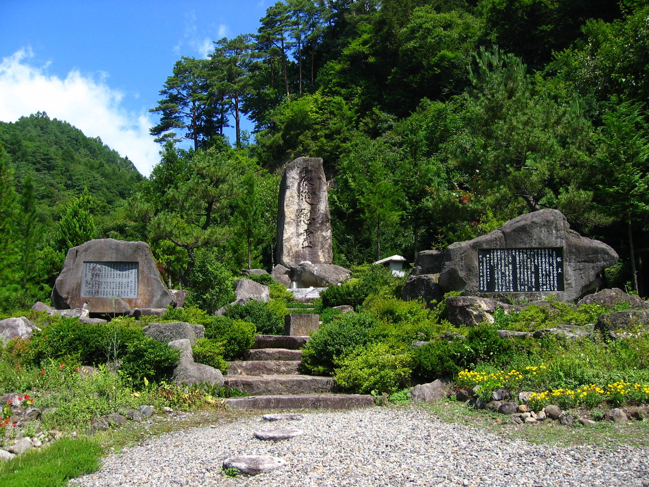
The village of Otaki bore the brunt of the destruction, with 87 homes destroyed. In the years following the disaster, engineers constructed nine check dams on Mount Ontake's slopes, massive concrete barriers designed to catch and slow future debris flows before they could reach inhabited areas. The dams were completed within four years of the earthquake, a rapid response reflecting both the severity of the threat and Japan's deep institutional experience with slope disasters. Mount Ontake itself would remind the world of its power three decades later, when a sudden phreatic eruption in September 2014 killed 63 hikers near the summit. The 1984 earthquake and its landslides remain a foundational event in Japanese disaster science, a case study in how rain-saturated terrain amplifies seismic hazard and how the landscape itself records catastrophe in features like Lake Shizenko, sitting calm and green in a valley that was reshaped in minutes.
From the Air
The epicenter of the 1984 Nagano earthquake is located near 35.80N, 137.60E in the western part of Nagano Prefecture, on the flanks of Mount Ontake (3,067 m). From the air, the landslide scars on Mount Ontake's south face are still visible as lighter patches against the forested slopes. Lake Shizenko, formed by the river-blocking debris, can be spotted in the Otaki Valley. The nearest airport is Matsumoto Airport (RJAF), approximately 70 km to the northeast. Chubu Centrair International Airport (RJGG) lies about 150 km to the southwest. Exercise caution with mountain weather and turbulence around the Kiso Mountains and Mount Ontake. The terrain rises steeply, and cloud obscuration is common.