2000 Izu Islands Earthquakes
Fourteen thousand two hundred earthquakes in a single summer. That is not a typo. Beginning on the evening of June 26, 2000, the seafloor southwest of Miyake-jima began to shudder, and it did not stop for months. What started as small tremors cascading through the Philippine Sea escalated into one of the most intense earthquake swarms ever recorded in Japan, a seismic barrage that shook houses apart on four separate islands, collapsed mountainsides, and ultimately drove every last resident off Miyake-jima. The swarm was not random chaos -- it was the earth telegraphing a volcanic eruption that would reshape the island's summit into a gaping caldera.
The Evening the Sea Floor Cracked
At 18:30 Japan Standard Time on June 26, 2000, seismographs around Miyake-jima began recording a rapid-fire series of small earthquakes centered southwest of the island. Within an hour, the Japan Meteorological Agency issued a volcanic information announcement, warning residents to prepare for a possible eruption. But Miyake-jima's volcano stayed quiet that first night. The next morning, something stranger appeared: the ocean itself had changed color off the island's west coast, a plume of discolored seawater spreading about one kilometer from shore. Submarine volcanic activity was pushing material up from the deep. The epicenters began migrating northwestward, away from Miyake-jima, and for a brief moment scientists thought the volcanic threat to the island had passed. They were wrong.
A Summer of Shaking
Through late June, July, and into August, the swarm intensified with astonishing ferocity. The earthquakes spread across the waters west of Miyake-jima and hammered the neighboring islands of Nii-jima and Kozu-shima. Thirty earthquakes reached a maximum seismic intensity of Shindo 5-minus or higher on the Japan Meteorological Agency scale, a threshold where unsecured furniture topples and walls crack. Six of those reached Shindo 6-minus, strong enough to collapse poorly constructed buildings and send landslides tumbling down hillsides. The largest single event measured magnitude 6.5. On July 1, a landslide triggered by one of the quakes killed a person on Kozu-shima -- the first earthquake fatality in Japan since the devastating Great Hanshin earthquake of 1995. Houses crumbled on Nii-jima, Kozu-shima, Shikine-jima, and Miyake-jima. The islands' communities, accustomed to living with seismic risk, found themselves overwhelmed by the sheer relentlessness of the shaking.
The Mountain Opens
On July 8, the event everyone feared arrived: Mount Oyama, the 759-meter peak at the center of Miyake-jima, erupted. The initial blasts were phreatic -- steam-driven explosions as groundwater met magma. But the eruptions kept coming, and with each one the summit collapsed further inward. By mid-August the mountain's crown had transformed into a caldera 1,600 meters across and 550 meters deep, a wound gouged out of the island's heart. Small eruptions on August 13 and 14 preceded the largest blast on August 18, which hurled ash and rock skyward. A second major eruption followed on August 29. Toxic sulfur dioxide gas began pouring from the caldera in quantities that would persist for years. By September, authorities ordered the complete evacuation of Miyake-jima. Every resident left. The island would remain uninhabited for more than four years.
The Science Beneath the Chaos
The 2000 Izu Islands earthquake swarm became a landmark case study in the relationship between volcanic activity and seismicity. Researchers demonstrated that the swarm was driven by magma intrusion beneath Miyake-jima -- molten rock pushing upward through the crust, fracturing everything in its path and triggering sympathetic quakes across a wide area. The migration pattern of the epicenters, shifting from southwest of Miyake-jima to the northwest and then spreading toward Nii-jima and Kozu-shima, traced the underground movement of this magma body. Electric and magnetic anomalies detected before the volcanic-seismic activity added another layer of evidence that the earth had been signaling its intentions well before the first eruption. The event proved that stressing rate -- how quickly tectonic forces build -- directly governs the character and intensity of earthquake swarms.
Return to an Altered Island
On February 1, 2005, residents were finally permitted to return to Miyake-jima permanently. They came home to an island transformed. Where a mountain peak once stood, a vast caldera yawned open. Sulfur dioxide continued streaming from the crater, and for years residents were required to carry gas masks at all times. Alarms still sound if toxic gas levels spike. The earthquake swarm itself had subsided by September 2000, but its legacy was etched into the landscape and the lives of the islanders who rebuilt atop a volcano that had, once again, reminded them who truly owns this ground. The Izu Islands sit along one of Earth's most active seismic boundaries, and the summer of 2000 stands as a vivid reminder that beneath the Pacific's calm blue surface, immense forces are always at work.
From the Air
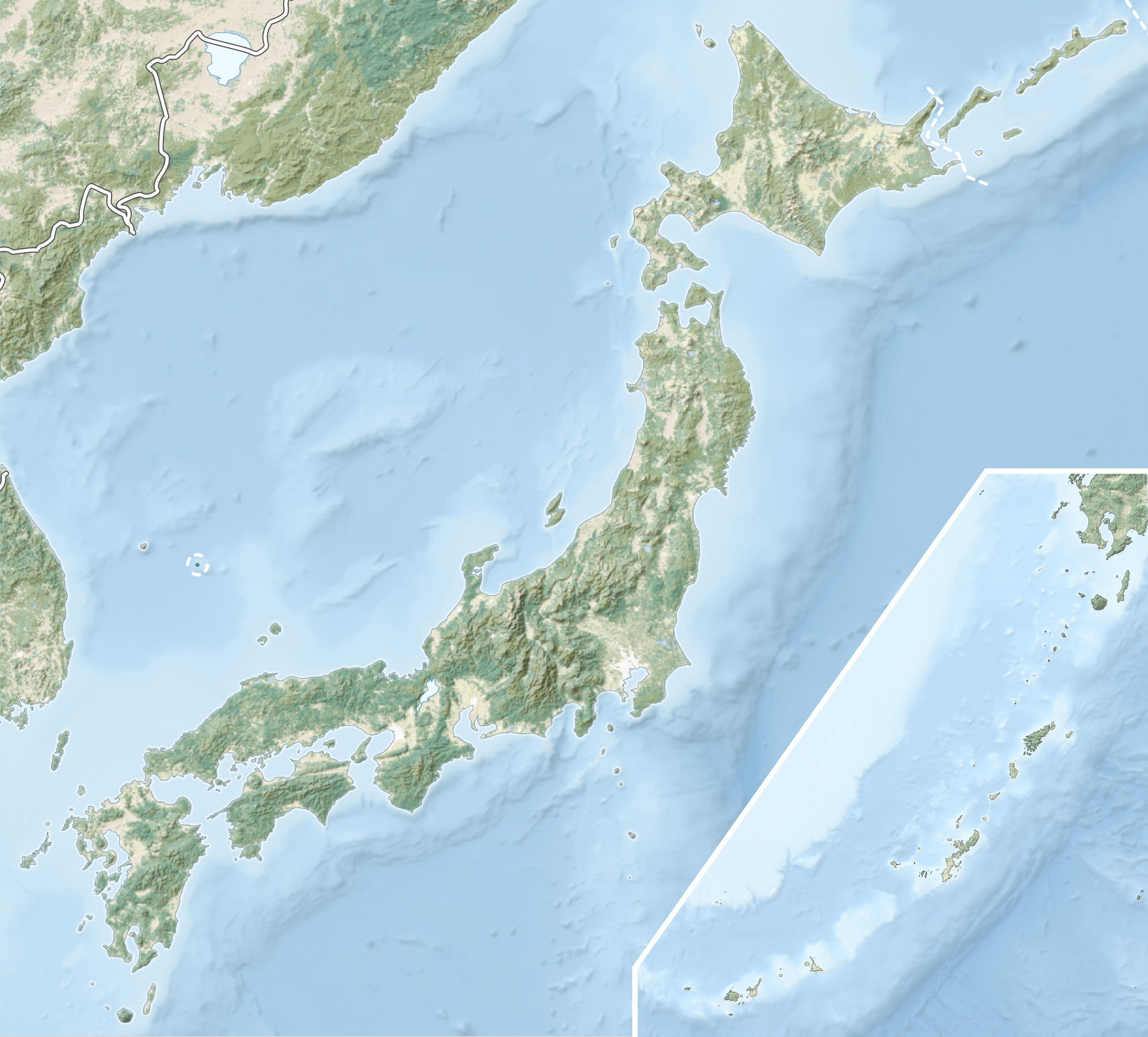
The earthquake swarm centered near coordinates 33.9N, 139.4E in the Izu Islands chain, stretching southeast from Tokyo across the Philippine Sea. From the air, Miyake-jima is the dominant circular island with a clearly visible summit caldera -- the direct result of the 2000 eruptions. Neighboring Kozu-shima and Nii-jima are visible to the northwest. The nearest airport is Miyakejima Airport (RJTQ) on Miyake-jima itself, with flights to Haneda Airport (RJTT) taking approximately 50 minutes. Fly at 3,000-5,000 feet for the best view of the caldera and the surrounding island chain. The volcanic haze from ongoing sulfur dioxide emissions may be visible on clear days.