2014 Mayflower-Vilonia Tornado
The Storm Prediction Center saw it coming six days out. By April 27, 2014, the forecasters had issued a rare high risk warning for central Arkansas, anticipating supercells capable of producing intense tornadoes. At 7:06 p.m. CDT, the prediction became reality when a tornado touched down in western Pulaski County, east of Paron, and began tracking north-northeast. Over the next 56 minutes, it would tear through the communities of Mayflower and Vilonia, kill 16 people, injure 193 others, and spark a debate within the meteorological community about whether the Enhanced Fujita Scale can accurately measure the most violent storms.
The Warning That Worked
The meteorological setup was textbook severe weather. A strong mid-level shortwave trough had developed into a closed low-pressure system over the central High Plains, while a trailing cold front pushed eastward across Kansas, Oklahoma, and northern Texas. Warm sector supercells were expected to develop across southeast Oklahoma and northeast Texas into Arkansas. The Storm Prediction Center escalated its outlook repeatedly over six days, ultimately issuing a high risk with a 30 percent hatched tornado probability for central Arkansas -- one of the most alarming forecasts the agency can make. The advance warning was extraordinary. It also could not prevent what happened next.
Mayflower Takes the First Blow
After touching down at EF1 strength and quickly intensifying, the tornado entered Faulkner County and struck the River Plantation subdivision at the southwest edge of Mayflower at EF4 intensity. Large two-story homes were leveled, leaving only piles of debris on bare foundations. One woman was killed when airborne debris struck the door of her storm shelter and forced it open -- a later study by Texas Tech University found the door had not been built to FEMA standards. Continuing northeast, the storm tore across the south edge of Mayflower and crossed Interstate 40, tossing semi-trucks, cars, and construction equipment from the highway. Three recreational vehicles from a destroyed RV dealership were found wrapped around a nearby billboard. Three people died in Mayflower.
Vilonia's Second Strike
Vilonia had already been hit by an EF2 tornado from the 2011 Super Outbreak just three years earlier. This time, the storm arrived at high-end EF4 strength. It first struck the recently built Vilonia Middle School, destroying the top floor and collapsing most walls. Then it moved through the town center. Homes and businesses were reduced to bare slabs. Vehicles were thrown hundreds of yards and mangled beyond recognition, some crushed into small balls or stripped to bare frames. Trees were completely debarked and denuded. A 29,998-pound metal fertilizer tank was crumpled and found nearly half a mile from its original location. Downtown Vilonia was erased: a dollar store, strip mall, two auto repair shops, the old city hall, a gas station, a church life center, and a fried fish restaurant were all completely destroyed. The ground scouring was so intense it was visible on satellite imagery days later.
The Rating That Divided Experts
The final EF4 rating became the tornado's second controversy. The National Weather Service office in Little Rock acknowledged that under the old Fujita Scale, the tornado likely would have been rated F5 -- the highest possible -- based on the number of homes swept cleanly from their foundations. But inspectors discovered that nearly every home in Vilonia lacked anchor bolts, relying instead on cut nails, which offer far less resistance to violent winds. The Enhanced Fujita Scale accounts for this construction weakness, which kept the rating at EF4. Meteorologist and civil engineer Timothy P. Marshall, who surveyed the damage, called the rating "lower bound" and noted that construction flaws did not rule out "the possibility that EF5 winds could have occurred." The Mayflower-Vilonia tornado became a catalyst for a broader twelve-year EF5 drought in the United States, fueling ongoing debate about whether the scale itself underestimates the most powerful storms.
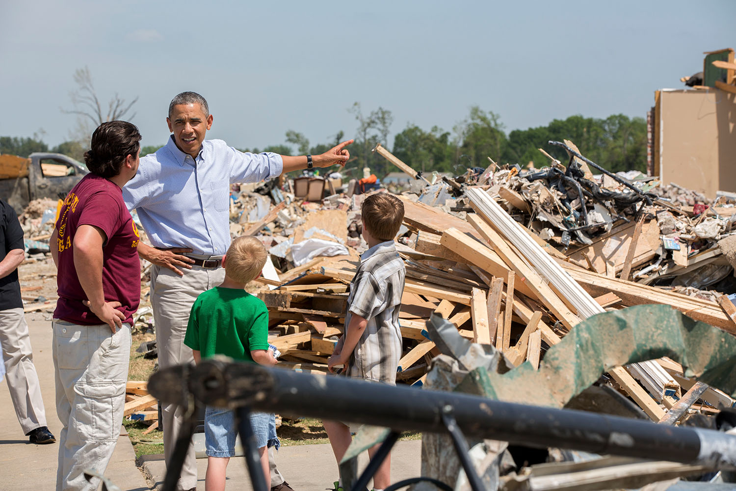
Sixteen Names
The tornado remained on the ground for 56 minutes and traveled along a path stretching across parts of Saline, Pulaski, Faulkner, and White Counties. Sixteen people were killed, ranging in age from 7-year-old Tyler Smith and 9-year-old Cameron Smith of Vilonia to 82-year-old Robert Oliver of Mayflower. Three members of the Tittle family -- Rob, 48; Tori, 20; and Rebekah, 14 -- died together in Paron. The same supercell that produced the Mayflower-Vilonia tornado went on to spawn four additional tornadoes across Arkansas that night. The communities rebuilt. Vilonia Middle School was reconstructed. But the scars -- visible from space in the days after the storm -- remain part of the landscape and the memory of central Arkansas.
From the Air
The 2014 Mayflower-Vilonia tornado path runs from approximately 34.78N, 92.50W (near Paron) to 35.25N, 91.92W (north of El Paso, Arkansas), tracking north-northeast through Faulkner and White Counties. The town of Vilonia (35.08N, 92.21W) bore the worst damage. The tornado crossed I-40 near Mayflower. Nearby airports include Clinton National Airport (KLIT) in Little Rock, about 30 miles south of Vilonia. The rebuilt Vilonia Middle School and residential areas are visible from 3,000-5,000 feet AGL. Ground scouring marks may still be faintly visible in open farmland along the path.