The 2018 Osaka Earthquake: 7:58 on a Monday Morning
At 7:58 a.m. on Monday, June 18, 2018, millions of people across the Kansai region were doing exactly what they did every Monday morning -- packed into trains, walking children to school, pouring into offices. Then the ground moved. A magnitude 5.6 earthquake struck northern Osaka Prefecture with its epicenter near Takatsuki, at an intensity that the Japan Meteorological Agency rated 6-lower on the shindo scale -- strong enough to throw people off their feet, topple concrete walls, and rupture water mains beneath city streets. The national earthquake warning system triggered alarms just 3.2 seconds after detecting the first seismic waves. For the Osaka and Kyoto metropolitan areas, those three seconds were all the warning anyone got.
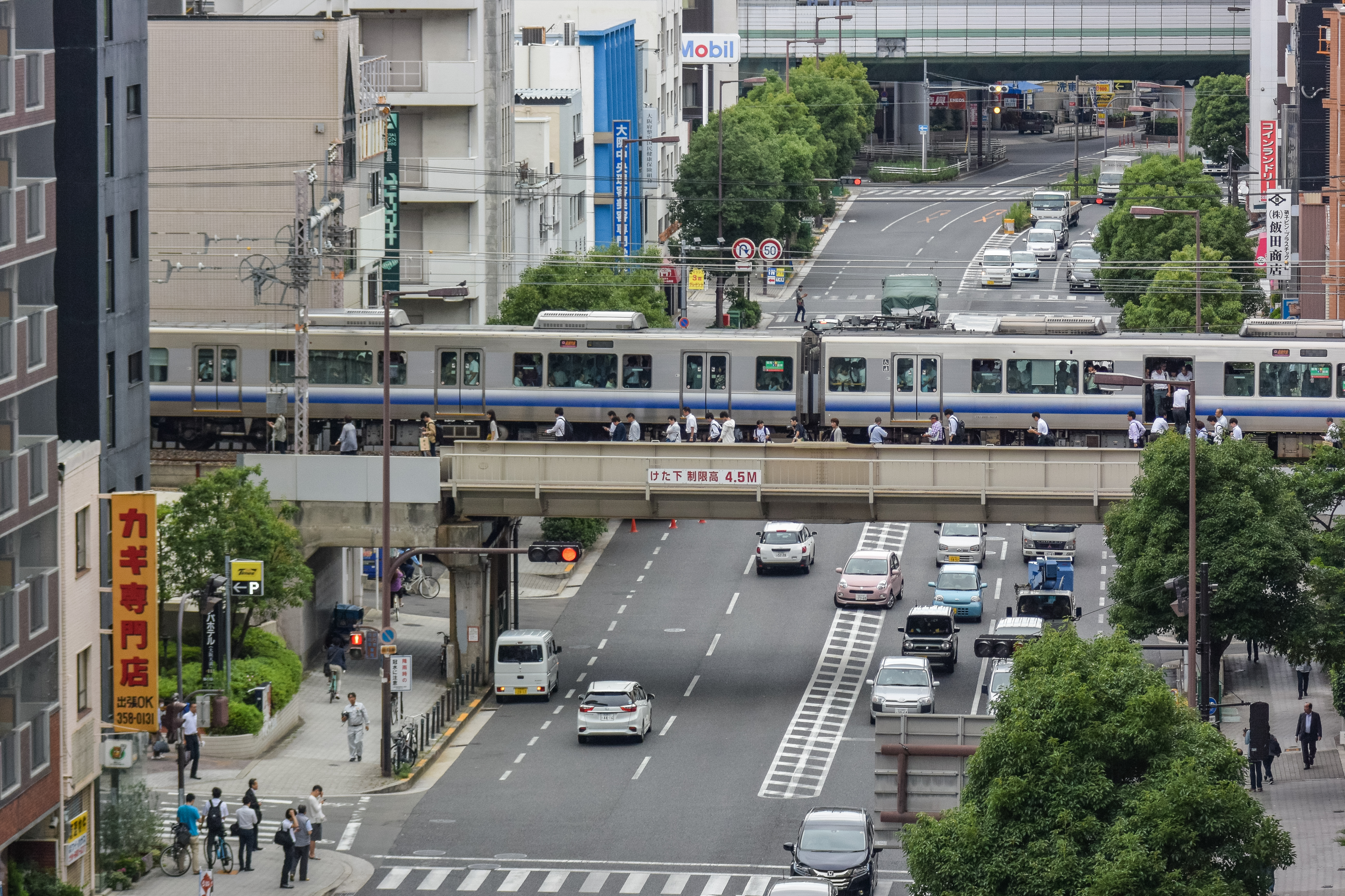
Rush Hour Shattered
The timing was devastating. Shinkansen bullet trains ground to a halt. Commuter rail lines across the Kansai region stopped running. Passengers stranded on trains between stations climbed down and walked along the tracks, fearful that aftershocks could trigger further collapse. The Osaka Monorail suspended service entirely and would not reopen until June 23 -- only to shut down again the next day when inspectors found additional damage to the train cars. Flights at two Kansai-area airports were temporarily suspended. Electrical and gas service failed across 170,000 homes and buildings. Gas supplies were cut to over 112,000 households in Ibaraki and Takatsuki alone, and would not be fully restored until June 25, a full week later. Underground water pipes ruptured, leaving residents without running water. The earthquake had struck the nervous system of a modern metropolis at its most vulnerable moment.
The Weight of Concrete
Four people died. Among them was a nine-year-old girl in Takatsuki, crushed by a collapsing concrete block wall outside her elementary school. The wall did not meet modern safety codes. That detail cut through the grief with a specific, actionable horror: how many other walls like it stood beside how many other schools? Chief Cabinet Secretary Yoshihide Suga ordered safety inspections of concrete block structures at schools across the entire country. Government surveys ultimately found 6,766 structures partially damaged, primarily in Osaka Prefecture but also in Kyoto, Nara, and Hyogo Prefectures. Roof tiles and stone ornaments fell from historic temples and shrines. As many as 450 people remained in public shelters a full week after the quake, unable to return to damaged homes.
Two Faults, One Tremor
Seismologists studying the earthquake found something unusual. The quake was not caused by a single fault rupture but by the simultaneous activation of at least two different buried faults. A strike-slip fault running parallel to the Arima-Takatsuki fault zone moved horizontally, while a reverse fault -- possibly connected to the deeper segments of the Uemachi fault zone -- thrust upward. The joint movement of both faults produced the earthquake's total seismic energy. The Kansai region sits atop a web of active fault lines, a geological reality that residents had been reminded of catastrophically just twenty-three years earlier, when the Great Hanshin earthquake of 1995 devastated nearby Kobe and killed over 6,000 people. The 2018 quake was far smaller, but its complex faulting mechanism underscored an uncomfortable truth: the next earthquake could come from faults that are not fully mapped.
Aftershocks Online and Underground
The physical aftershocks were followed by a social one. Within hours, rumors spread on Twitter and other social media accusing ethnic non-Japanese residents of looting and robbery in the disaster's aftermath. The Osaka prefectural government and the national Human Rights Bureau issued warnings about the spread of false information. The Asahi Shimbun published an editorial drawing a direct line between these rumors and the xenophobic lies that circulated after the 1923 Great Kanto earthquake -- when fabricated stories of Korean residents poisoning wells led to mob violence and the deaths of thousands. A century of progress in building codes had not eliminated the oldest fault line of all: the human impulse to blame outsiders when the ground shakes. The Japanese Self-Defense Force deployed teams to deliver water. Fears of rain-triggered landslides drove hundreds more into public shelters. And beneath Osaka's streets, the ruptured pipes and cracked foundations waited for the next inspection.
From the Air
Located at 34.83°N, 135.64°E in northern Osaka Prefecture, Japan, with the epicenter near Takatsuki. The affected area spans the densely urbanized Kansai plain between Osaka and Kyoto. From altitude, the region is a continuous carpet of urban development stretching between the two cities, bordered by mountains to the north and east. Osaka Itami Airport (RJOO) is approximately 15 km west of the epicenter. Kansai International Airport (RJBB) is roughly 50 km to the south on its artificial island in Osaka Bay. The Arima-Takatsuki fault zone runs roughly east-west through the northern suburbs, though it is invisible from above. The Shinkansen line between Osaka and Kyoto passes directly through the affected area.