Acre River
For a few months in 1899, there was a country called the Republic of Acre. It had no capital building, no constitution worth the name, and no international recognition -- but it had plenty of rubber trees and plenty of Brazilians willing to fight for them. The Acre River, a 680-kilometer waterway born in Peru and flowing northeast across the borders of three nations, gave this improbable republic both its name and its reason for existing. The Inapari people called the river Aquiry long before any of this happened, back when borders were irrelevant and the river was simply the path water took through the forest.
Three Countries, One River
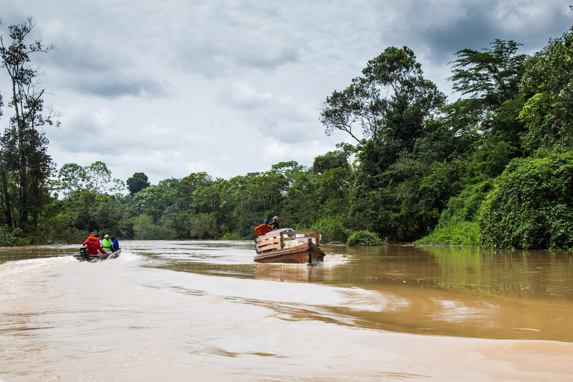
The Acre rises in Peru and immediately begins drawing lines on maps. It flows northeast, forming part of the Peru-Brazil border, then part of the Bolivia-Brazil border, before crossing entirely into Brazil and winding through the states of Acre and Amazonas to meet the Purus River at Boca do Acre. The river is navigable for 480 kilometers upstream to the Xapuri River tributary, and during the wet season -- January through May -- boats can push even farther. At the headwaters, the Rio Acre Ecological Station protects a stretch of primary Amazon forest in the municipalities of Assis Brasil and Sena Madureira, bounded to the north by indigenous territory and to the south by the river itself. The station was created specifically to preserve the Acre's source waters, a recognition that even in the vastness of the Amazon, specific rivers matter.
The Rubber Road to War
Between 1870 and 1878, Peruvian settlers established themselves along the Acre's upper reaches. Then the rubber boom arrived. Brazilian collectors flooded into the region during the 1880s, drawn by newly discovered Hevea forests, and the river became a transportation artery feeding the rubber markets of Iquitos, Manaus, and Para. By the late 1890s, roughly 18,000 adventurers and settlers -- most of them Brazilian -- had moved into what was technically Bolivian territory. When Bolivia established a customs house at Puerto Alonso on the Acre in 1899 to collect export duties on rubber, the Brazilian settlers erupted. The conflict was not abstract: the customs house threatened to tax the one product that justified the hardship of living in this remote, fever-ridden forest.
A Republic That Lasted Months
In July 1899, the settlers -- calling themselves Acreanos -- declared independence and proclaimed their own republic. It lasted until the following March, when Brazilian forces suppressed it. But the underlying dispute between Brazil and Bolivia festered. Various disorders and skirmishes continued until Brazil decided to occupy Puerto Alonso with a military force, asserting control over a region that belonged to Bolivia on paper but to Brazilian settlers in practice. The boundary dispute was finally settled at Petropolis on November 17, 1903, through the Treaty of Petropolis. Bolivia ceded the rubber-producing territory south to approximately the ninth parallel. In return, Brazil paid 2 million pounds sterling and promised to build the Madeira-Mamore Railroad -- the infamous "Devil's Railroad" -- to give Bolivia river access to Atlantic markets. The state of Acre, named for the river, became a Brazilian territory.
After the Boom
The rubber wealth that provoked a war between nations did not outlast the commodity cycle. Asian plantations killed the Amazonian monopoly, and the forests along the Acre that had been worth fighting over returned to relative quiet. Today the river still traces its path through the lowland forest, its brown water rising and falling with the seasons, its banks green and largely unbroken by development. The Acre's legacy is written on political maps rather than in the landscape: the Brazilian state that bears its name, the border it still defines between nations, and the memory of a time when the sap of a tree was valuable enough to start a war, declare a republic, and redraw the boundaries of South America.
From the Air
The Acre River is visible at 8.75S, 67.37W where it meets the Purus River at Boca do Acre. The river traces the Bolivia-Brazil border in its upper sections, distinguishable as a brown line through unbroken green canopy. Nearby airports include Rio Branco (SBRB) to the south and Boca do Acre airstrip. The river's winding course is best appreciated from 8,000-12,000 feet. During the wet season (January-May), the surrounding forest shows standing water and expanded river width.