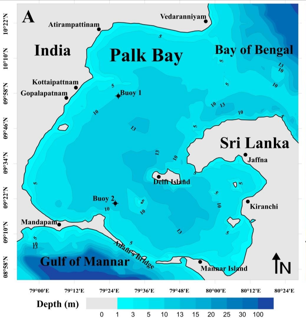
Adam's Bridge
From satellite orbit, it looks deliberate. A 48-kilometer arc of limestone shoals connecting India's Pamban Island to Sri Lanka's Mannar Island, curving across the turquoise shallows of the Palk Strait with an almost architectural precision. The water here rarely exceeds one meter in depth, and in places the shoals break the surface entirely, so that what you see from above is neither land nor sea but something stubbornly in between. For geologists, Adam's Bridge is a natural formation shaped by ice ages, sea-level shifts, and coral growth over tens of thousands of years. For millions of Hindus, it is Rama Setu, the causeway that Lord Rama and his army of Vanaras built stone by stone to cross the sea and rescue Sita from the demon-king Ravana. Both stories are about the same stripe of reef and sand. Neither has fully yielded to the other.
Where the Ice Ages Left Their Mark
During the Last Glacial Period, when sea levels dropped as much as 120 meters below their present values, the entire Palk Strait was dry land. You could have walked from the Indian subcontinent to Sri Lanka. As temperatures rose during the Holocene, the strait flooded, submerging the land bridge roughly 7,000 years ago. Then sea levels in the region fell again, beginning around 5,000 years ago, and the islands of Adam's Bridge re-emerged from the water. What remains today is a series of parallel ledges of sandstone and conglomerate, hard at the surface and growing coarser as they descend to sandy banks below. Comprehensive geological field studies have been limited, and much about the formation's precise origins remains uncertain, but the Archaeological Survey of India has found no evidence that the structure is anything other than natural.
The Bridge of the Ramayana
The ancient Sanskrit epic Ramayana describes how Rama, aided by an army of Vanaras, constructed a bridge to reach the island of Lanka and rescue his wife Sita from the demon-king Ravana. In popular belief, Lanka is equated with present-day Sri Lanka, and the chain of shoals is the physical remnant of that divine construction. The name Rama Setu carries deep spiritual weight for millions of Hindus, who regard the formation as sacred. Muslim tradition offers a different origin: Adam crossed this bridge after his expulsion from the Garden of Eden, giving it the name by which European cartographers came to know it. The earliest known use of the name Adam's Bridge dates to around the time of the 11th-century scholar Al-Biruni. Each tradition has claimed the same slender chain of reefs as its own, layering meaning upon the limestone.
Centuries of Navigators and Dredges
The shoals that give Adam's Bridge its spiritual significance have been a navigational headache for centuries. In the late 18th century, the British geographer James Rennell surveyed the area and suggested dredging a navigable passage, but his proposal was dismissed because he was too young and unknown. In 1823, a young ensign named Arthur Cotton surveyed the Pamban channel and made the same suggestion. Some Ramanathaswamy Temple records indicate that storms broke the land connection as recently as 1480, and Cotton believed the channel could be deepened for shipping. Rocks were blasted in 1828, a detailed marine survey followed in 1837, and dredging efforts continued through the 19th century, but none succeeded in keeping the passage open for anything larger than a light-draft vessel. The shallow waters simply refused to cooperate.
A Canal and a Collision of Values
In 2005, the Indian government approved the Sethusamudram Shipping Canal Project, which would dredge through the shallow ocean floor near Dhanushkodi to create a ship channel across the Palk Strait and cut roughly 30 hours off the voyage around Sri Lanka. The proposed alignment required cutting through Adam's Bridge itself. The response was immediate and fierce. Multiple political parties, including the BJP and AIADMK, opposed the project on religious grounds, arguing that dredging through Rama Setu amounted to sacrilege. Environmental groups raised separate concerns about the destruction of marine ecosystems, the disturbance of thorium deposits, and the increased vulnerability to tsunamis. NASA had to publicly clarify that its satellite images of the formation had been misinterpreted by those claiming they proved human construction. The Archaeological Survey of India affirmed the natural origins of the structure. As of recent years, the canal project remains stalled, the shoals remain undredged, and the question of what Adam's Bridge means continues to be debated in courts, parliaments, and temples alike.
From the Air
Adam's Bridge stretches from approximately 9.12N, 79.52E (Dhanushkodi tip) to Mannar Island, Sri Lanka. Best viewed at 5,000-15,000 feet where the full arc of shoals is visible against the turquoise shallows. The chain of shoals separates the darker Gulf of Mannar (southwest) from the lighter Palk Strait (northeast). Nearest airport is Madurai (VOMD), approximately 170 km northwest. The Pamban Bridge connecting Rameswaram Island to the mainland is a useful visual reference point. Clear weather preferred; monsoon season (October-December) may reduce visibility.