Aioi Bridge
From 31,000 feet, the bombardier of the Enola Gay needed a visual target. He found it in the shape of the letter T. The Aioi Bridge, built in 1932 where the Honkawa and Motoyasu rivers diverge, was unlike any other bridge in Hiroshima -- two spans meeting at a right angle, forming a distinctive three-way junction that was unmistakable from altitude. Its shape, combined with its location near the city center, made it the designated aiming point for the atomic bomb dropped on August 6, 1945. The bomb missed the bridge by 240 meters, detonating over the Shima Hospital instead. The bridge survived. The city around it did not.
The Bridge That Was Chosen
The Aioi Bridge was designed for a practical purpose: to carry streetcar lines across the branching rivers of Hiroshima's delta. Its T-shape solved the engineering problem of connecting three landmasses at a single junction -- the main east-west span crossed the Ota River while a perpendicular spur connected to the island district below. The name Aioi means "meeting" or "growing together," a reference to the two bridge sections joining as one. No one who designed or named it could have imagined that this functional elegance would make it a target. Approximately 120 meters long, the bridge was substantial enough to be visible from extreme altitude, and its unique geometry ensured that no pilot could confuse it with any other structure in the city.
August 6, 1945
The bomb detonated 580 meters above the city, about 240 meters southeast of the bridge. The blast did not destroy the Aioi Bridge, but it inflicted severe damage. A survivor later described watching the bridge lift several meters into the air before settling back down onto its foundations -- a detail that conveys the scale of the shockwave better than any statistic. Wooden bridges near the hypocenter burned from the heat flash. Steel and concrete structures like the Aioi twisted and buckled but held. In the weeks that followed, Hiroshima's surviving bridges faced additional catastrophes: the Makurazaki typhoon struck in September, and the Akune typhoon followed the same path in October, collapsing several weakened spans along the Honkawa River. The Aioi Bridge endured all three disasters.
Rebuilt to Remember
After the war, the damaged Aioi Bridge was repaired and returned to service. For nearly four decades, Hiroshima's streetcars rattled across the same span that had guided the bomb. In 1983, the original bridge was replaced with a new structure built to a similar T-shaped specification -- a deliberate choice to preserve the bridge's distinctive form rather than redesign it into something that might carry less painful associations. A surviving floor girder from the 1932 original was donated to the Hiroshima Peace Memorial Museum, where it joins the collection of objects that bear witness to what happened here. The southern arm of the T now serves as the northern entrance to the Hiroshima Peace Memorial Park, so visitors approaching the park's monuments and memorials cross the very structure that brought the bomb to its target.
The Shape That Endures
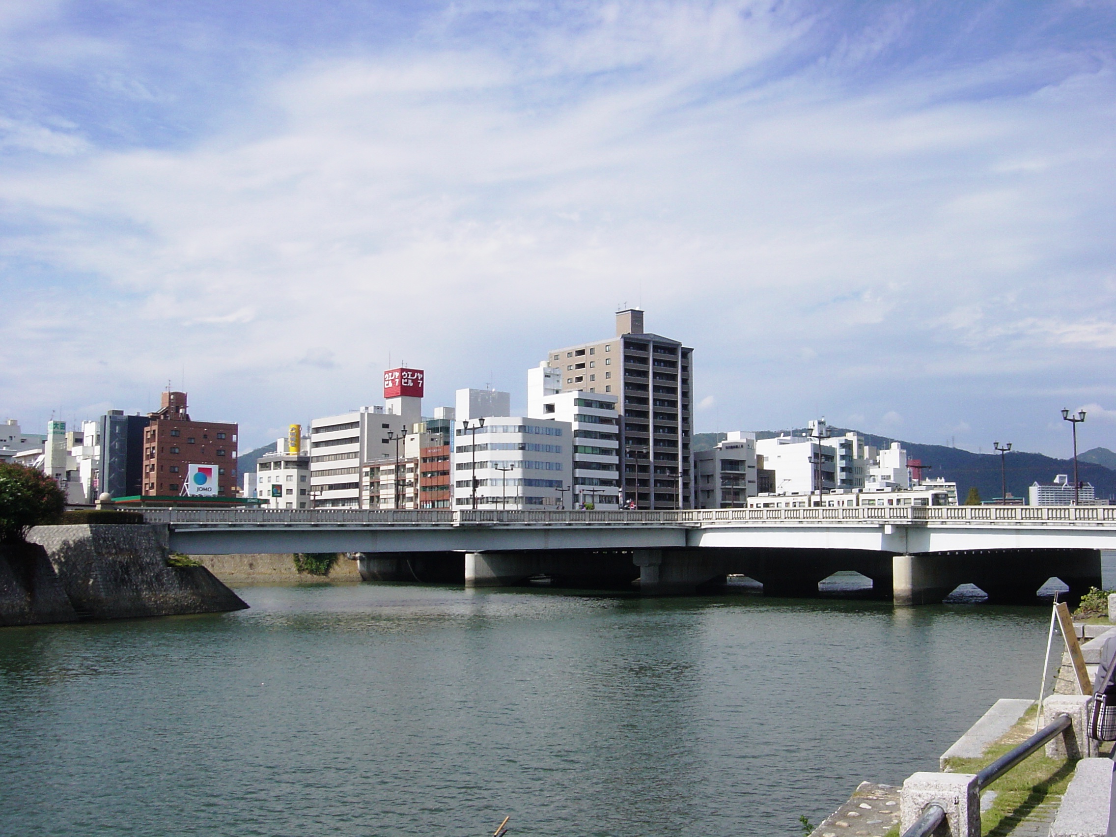
Today the Aioi Bridge carries National Route 183 and the Hiroshima Electric Railway Main Line across the Ota River. Its specifications are precisely documented: 123.35 meters long, 41 meters wide, a four-span continuous steel girder bridge completed in 1983. The connecting bridge to the island below is 53 meters long. These are the measurements of an ordinary piece of urban infrastructure -- a bridge that carries traffic, pedestrians, and streetcars through a modern Japanese city. But no one crosses the Aioi Bridge without awareness of what its shape once meant, seen from above. The T-junction that solved a simple transportation problem in 1932 became, thirteen years later, the crosshair through which the atomic age arrived. That the bridge still stands, still functions, still holds its original shape is both a fact of engineering and an act of memory.
From the Air
Located at 34.40N, 132.45E in central Hiroshima, at the junction of the Honkawa and Motoyasu rivers. The T-shaped bridge is visible from the air as a distinctive three-way junction -- the same shape that made it the aiming point in 1945. The Hiroshima Peace Memorial Park and the Atomic Bomb Dome are immediately to the south. Hiroshima Airport (RJOA) is approximately 45 km to the east. The bridge is most recognizable from 3,000-10,000 feet, where its unique geometry stands out against the river delta.