Akibayama Kofun Cluster
Pottery deliberately smashed in fire rituals. Jars stained bright red with mercury vermilion. Cylindrical vessels carried hundreds of kilometers from distant Okayama. The six burial mounds perched on a ridge in the Zama Hills outside Ebina, Kanagawa Prefecture, are not especially large by the standards of Japan's kofun builders, yet the grave goods sealed inside them tell an outsized story about power, belief, and long-distance connection in the third and fourth centuries AD. The Akibayama Kofun Cluster is now recognized as possibly the oldest tumulus group in all of Kanagawa Prefecture, a distinction that nearly vanished under suburban housing tracts before national protection arrived in 2005.
Chieftains on the Ridge
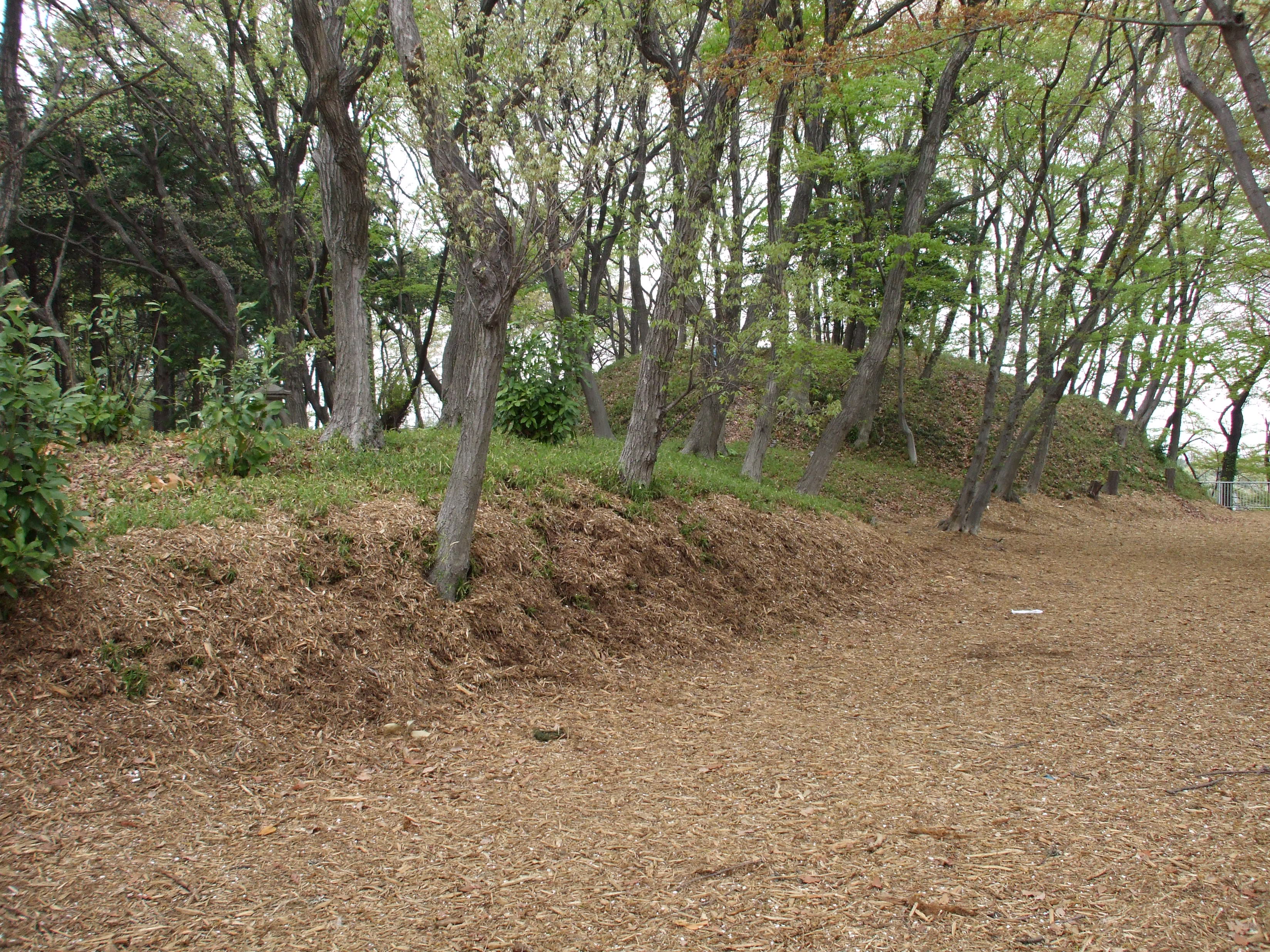
The six mounds occupy a ridge at 75 to 80 meters elevation, roughly two kilometers east of the Sagami River. Their position was strategic: the ridge sits at the junction of the river corridor and the ancient highway toward Musashi Province, a route roughly paralleled today by National Route 246. Local chieftains buried here controlled a transportation hub, even if no large settlement has yet been discovered in the immediate vicinity. The tumuli are all single-tier construction, lacking the decorative fukiishi stones and haniwa clay figures that mark higher-ranking tombs elsewhere in Japan. They are also smaller than the roughly contemporary Nagae-Sakurayama Kofun to the south in Hayama. The implication is clear: these were regional leaders with genuine authority, but their standing within the Yamato political hierarchy was modest. Their tombs speak of local power rather than imperial ambition.
Keyhole Graves and Broken Pottery
Three of the mounds, Kofun No. 1 through No. 3, take the distinctive keyhole shape known as zenpokoenfu, with one circular end and one rectangular end. Kofun No. 1, the largest at 59 meters long, dates to the late fourth century and yielded earthenware matching styles found across Japan, evidence of participation in a broad cultural network. Kofun No. 2, radiocarbon-dated to between 250 and 325 AD, produced a remarkable collection of artifacts: pottery from the Tokai and Kansai regions alongside local Sagami ware, some colored with mercury vermilion. Four cylindrical pottery objects, a type distributed mainly in Okayama Prefecture at the end of the Yayoi period, turned up as well. Most striking of all, many pottery items from this mound had been deliberately smashed and buried after a fire ritual, a glimpse into burial ceremonies that remain only partially understood.
At the Threshold of an Era
Kofun No. 3, built around the same period as No. 2, occupies a pivotal position in archaeological thinking. Its rear circle is slightly distorted, and its front rectangular portion was shorter than the diameter of the circular section, an unusual proportion. Unlike the other two keyhole mounds, it had a complete surrounding moat. Excavators found a large grave pit at the summit, nine meters by six to seven meters, yet could not identify a distinct burial chamber, a feature characteristic of the earlier Yayoi period rather than the full Kofun era. Together with its truncated keyhole proportions, this places Kofun No. 3 at the transitional boundary between Yayoi and Kofun cultures. Massive mercury vermilion jars found at the top of the grave pit link it to the same ritual world as Kofun No. 2, and a wealth of pottery from the Ise Bay area of the Tokai region confirms far-reaching trade ties.
Survivors of Suburbia
The Akibayama cluster has been known since at least the Meiji period, and an Akiba Shrine long perched atop Kofun No. 2 at the highest point in Ebina City, 84.6 meters above sea level. But knowledge did not guarantee protection. When residential development surged through the Zama Hills beginning in the mid-1960s, many kofun in the surrounding area were destroyed. Twelve archaeological excavations between 1987 and 2003 documented what remained, yet even during that survey period, portions of the site continued to disappear. National Historic Site designation arrived in 2005, bringing legal protection to the surviving six mounds. Kofun No. 6, located 250 meters north of No. 4, was added to the protected area in 2006, though it has never been fully excavated and its secrets remain sealed beneath the hillside.
Reading the Record in the Ground
Taken as a group, the six mounds span roughly a century and a half, from the third century to the fourth. Kofun No. 4, a distinctive double-rectangle form 37.5 meters long, produced the oldest pottery fragments in the cluster and is considered the founding tomb of the group. Kofun No. 5, a square tumulus with 20-meter sides and a complete moat, dates to the fourth century and is the youngest of the six. Between these two endpoints, the evolving shapes, moat designs, and pottery origins chart a community's changing relationships with the wider Japanese archipelago. The mix of local Sagami ware and imports from Tokai, Kansai, and even distant Okayama paints a picture of a ridge-top society that was modest in scale yet deeply connected to the networks that would eventually coalesce into a unified Japanese state.
From the Air
Located at 35.47N, 139.40E on a low ridge in the Zama Hills, approximately 2 km east of the Sagami River in the city of Ebina, Kanagawa Prefecture. The cluster sits at around 75-80 meters elevation. Best viewed below 3,000 feet for detail. The nearby Sagami River corridor is a strong visual landmark. Closest airports include RJTA (Atsugi Naval Air Facility) about 4 km to the southwest and RJTT (Tokyo Haneda) about 40 km to the northeast.