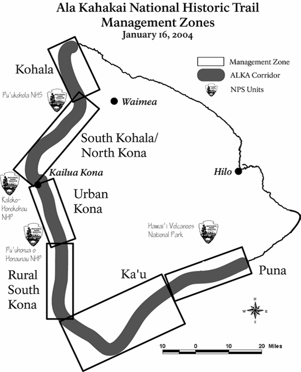
Ala Kahakai National Historic Trail
Before there were roads on the Big Island, there were trails. Fishermen, priests, warriors, and families moved along the coast on footpaths worn into lava rock by generations of bare feet, sometimes paddling outrigger canoes when the shoreline grew too rugged to walk. These paths threaded through more than 200 ahupua'a, the traditional Hawaiian land divisions that ran from mountaintop to sea, connecting communities that depended on the ocean for survival. The Ala Kahakai National Historic Trail preserves 175 miles of this ancient network along the island of Hawaii's western coastline, from the Mo'okini Heiau at Upolu Point in the north to Hawai'i Volcanoes National Park in the south. Its name translates simply: ala kaha kai means "shoreline trail."
Footpaths Older Than Memory
The trail system predates written records by centuries. When Captain Cook arrived in 1778, these paths were already ancient. A section known as the Ala Loa, meaning "long trail," was added to the National Register of Historic Places in 1987, running from Kiholo Bay to Kalahuipua'a near Puako. The trails were more than transportation routes. They connected fishponds where communities cultivated fish, heiau where priests performed ceremonies, and coastal villages where families lived in thatched houses on stone platforms. In a culture without wheeled vehicles or pack animals, the trail network was the circulatory system of Hawaiian civilization on the island's leeward coast. Travel often combined walking with canoe passages when the terrain became impassable, a pragmatic approach that reflected the Hawaiians' seamless integration of land and sea.
Lava, Resorts, and Broken Segments
The trail today is not a single continuous path. Centuries of lava flows have buried portions. Development has paved over others, transforming ancient footpaths into segments of the Hawaii Belt Road or resort access roads. Only one section has signage, and much of the trail receives limited maintenance, with sections eroded by waves and weather. This fragmentation is part of the story. The trail passes through both public and private lands, skirting luxury resorts whose manicured grounds sit atop the same lava rock that Hawaiian fishermen once crossed barefoot. Designated a National Historic Trail on November 14, 2000, and managed by the National Park Service, the Ala Kahakai received a comprehensive management plan in 2009 to guide its preservation and restoration over a fifteen-year period. The plan acknowledges both the trail's deep cultural significance and the practical challenges of maintaining an ancient route through a modern landscape.
Walking Where They Walked
The northern terminus at Upolu Point places hikers at the Mo'okini Heiau, one of the oldest and most sacred temples in the Hawaiian Islands. From there, the trail moves south along a coast that alternates between stark black lava fields and pockets of white sand beach. The terrain is honest about Hawaii's volcanic origins in a way that the resort strips of Waikiki are not. You walk on raw pahoehoe and rough 'a'a lava, past tide pools where sea turtles surface, through groves of coconut palms that have colonized cracks in the rock. Petroglyphs appear in the smoother lava surfaces, cryptic figures carved by people whose names are lost but whose paths you are literally following. The trail ends inside Hawai'i Volcanoes National Park, where the ancient routes merge with the park's own trail system, completing a journey that spans the island's entire western coast.
A Trail as Cultural Preservation
What distinguishes the Ala Kahakai from other historic trails in the national system is its inseparability from the culture that created it. This is not a route blazed by explorers or soldiers moving through someone else's land. It is the everyday infrastructure of a civilization, as fundamental to Hawaiian life as Roman roads were to the Mediterranean world. The trail received funding from the Land and Water Conservation Fund, reflecting federal recognition that preserving these paths means preserving knowledge of how ancient Hawaiians understood and organized their relationship with the land and sea. Each ahupua'a the trail passes through was a self-contained economic unit, and the trail was the link that bound them into a larger society. Walking even a short segment, hearing the surf and feeling the heat radiating from dark lava, you begin to understand why the Hawaiians did not see land and ocean as separate realms but as a continuous, interconnected world.
From the Air
The trail runs along the western coast of Hawaii's Big Island, from Upolu Point (20.24N, 155.88W) in the north to Hawai'i Volcanoes National Park (19.40N, 155.12W) in the south. The coastline is clearly visible from the air, with black lava rock contrasting against blue water. Key landmarks include Kiholo Bay, the resort areas of Kohala and Kona, and the volcanic landscapes near the southern terminus. Nearest airports: Kona International (PHKO) mid-coast, Hilo International (PHTO) on the eastern side. Best viewed at 2,000-4,000 feet AGL along the leeward coast.