Algoa Bay
Nautical charts of Algoa Bay carry an unusual warning. Between Cape St Francis and Bird Island, out to depths of 400 meters, mariners are cautioned that projectiles and badly corroded mustard gas containers litter the seafloor. The chemical weapons were dumped here after World War II, when Port Elizabeth served as a research, manufacturing, and storage site for mustard gas ordered by the British Air Ministry. It is a strange footnote for a bay whose name means "to Goa," marking the halfway point on the Portuguese maritime route to India, and whose waters now shelter the largest breeding colony of endangered African penguins on earth. Algoa Bay holds five centuries of human ambition, ecological wonder, and buried hazard in a single sweep of coastline.
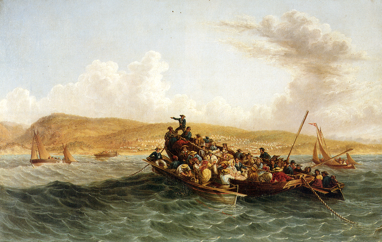
The Bay That Opened the East
In 1488, the Portuguese explorer Bartolomeu Dias sailed into these waters and planted a wooden cross on a small island he called Santa Cruz. The moment was pivotal. Dias had proven that the maritime route around Africa to Asia was navigable, a discovery that would make Portugal the world's first global maritime superpower. The mountain ranges surrounding the bay became a navigational landmark for ships rounding the treacherous Agulhas Bank, and the bay itself, 683 kilometers east of the Cape of Good Hope, earned a reputation as a reliable landing place for fresh water. The Khoikhoi peoples who had inhabited this coastline for millennia watched as European sails appeared with increasing frequency, each arrival bringing the trading networks and colonial ambitions that would transform the region. The bay Dias named would later receive the 1820 British settlers and become the site of Gqeberha (Port Elizabeth), one of South Africa's major port cities.
Six Islands in a Thousand-Mile Gap
Algoa Bay contains six named islands in two groups of three, and according to BirdLife International, they are the only islands along a 1,777-kilometer stretch of coastline between Cape Agulhas and Inhaca Island in Mozambique. Their combined surface area is just 40 hectares, but their ecological importance is immense. The St Croix group sits close to shore near the Port of Ngqura: St Croix Island itself, Brenton Island, and Jahleel Island. Forty kilometers east, the Bird Island group comprises Bird, Seal, and Stag Islands. All six are declared nature reserves within the Addo Elephant National Park and are closed to the public. In 1755, the East Indiaman Doddington wrecked on the Bird Island group while sailing from Dover to India. Most aboard perished, but survivors were marooned for seven months, subsisting on fish, birds, and eggs until a carpenter among them built a boat. They named the island as they sailed away from it.
A Penguin Stronghold Under Siege
St Croix Island hosts 43 percent of the global population of the African penguin, a species whose numbers have been declining sharply across its range. The population on St Croix peaked at 63,000 birds in 1993 and has since fallen dramatically, mirroring a species-wide crisis driven by competition with commercial fisheries, oil pollution, and habitat disturbance. Bird Island is one of only six breeding sites in the world for the Cape gannet, and the islands collectively support 14 species of seabirds, including the roseate tern, which breeds regularly here and nowhere else off southern mainland Africa. Humpback whales, southern right whales, bottlenose dolphins, and great white sharks share the bay. Conservation groups have recommended 25-kilometer marine reserves around the breeding islands, but the development of the Port of Ngqura deep-water facility and associated heavy industry complex near the St Croix group poses ongoing threats. A 2019 oil spill at the port directly impacted the penguins, and environmental groups have raised alarm about ship-to-ship fuel transfers in the bay.
Thunderbolt Reef and the Navigator's Nightmare
The bay's navigational hazards have shaped its history as much as its wildlife has. Thunderbolt Reef, about one kilometer southwest of Cape Recife at the bay's western edge, sits submerged except during spring low tides, its presence betrayed only by the surf crashing over it. The reef has claimed ships for centuries, a trap for vessels carelessly entering or leaving the bay. Despatch Rock, 2.4 kilometers east of the suburb of Summerstrand, lurks just below the surface at high tide and is marked with a warning light. These physical dangers complement the chemical ones on the seafloor. Algoa Bay is a place where beauty and hazard exist in intimate proximity, where penguin colonies breed within sight of industrial port cranes, and where the deep water that once drew Dias to these shores now carries oil tankers past the breeding grounds of species that can ill afford another spill.
From the Air
Algoa Bay stretches along the Eastern Cape coast at approximately 33.83S, 25.83E, bounded by Cape Recife to the west and Cape Padrone to the east. The bay is up to 436 m deep. From altitude, the St Croix island group is visible close to shore near the Port of Ngqura, while the Bird Island group lies 40 km further east. Gqeberha (Port Elizabeth) lines the western shore. The Port of Ngqura's breakwater and cranes are prominent landmarks. Nearest airport: Port Elizabeth (FAPE). Fly at 5,000-10,000 ft for the full sweep of the bay and its islands. Thunderbolt Reef near Cape Recife is visible as breaking surf over submerged rock.