Altenhus Fortress
The fight was over fish. In the early 1600s, the salmon runs of the Alta River drew both Dano-Norwegian and Swedish tax collectors to the far northern reaches of Finnmark, each claiming the right to levy taxes on the indigenous Sami people who fished there. By 1607, competing claims had turned violent -- Norwegian fishermen drove Swedish collectors away by force. When the Swedes returned in 1609 and again in 1610 with soldiers, King Christian IV of Denmark-Norway decided to settle the matter with timber and earth. On August 17, 1610, he ordered a fortress built on the island of Aroya in the Altafjord.
A Fortress from a Dismantled Church
The construction materials came from an unlikely source. During the 1609 clashes, Norwegians had captured and dismantled a church that the Swedes had built in Alta, and it was this salvaged timber -- logs about ten ells in length -- that formed the bones of Altenhus Fortress. Fourteen laborers began construction in early May 1611 and finished by mid-August. Every carpenter and skilled worker had to be brought from Helgeland, far to the south, because Finnmark had none. The completed fortification was a two-story, cross-shaped blockhouse with loopholes for observation and defensive fire. Earthen ramparts surrounded three sides, while a wooden palisade guarded the fourth side facing the sea. The building of the fortress drew a wave of Norwegian settlers to an area that had been predominantly Sami, many arriving as carpenters and soldiers.
Three Years of Military Purpose
Positioned midway in the Altafjord, Altenhus could control shipping from both the north and south. Swedish spies assessed the fortification and described it as "hard to bypass." A gun-armed galley was stationed at the fortress to extend Dano-Norwegian control over the fjord's waters. The garrison's commander bore the name Thomas Koningham -- alternatively spelled Coningham or Cunningham -- suggesting a Scots or British origin not uncommon among military men in Scandinavian service. The garrison also kept two horses, likely the first horses ever brought to Alta. But this military chapter was brief. When the Kalmar War ended in 1613, Sweden abandoned its claims to the coastal territory between Tysfjorden and the Varanger Peninsula. The fortress lost its strategic purpose overnight.
From Garrison to Prison
After 1613, Altenhus found a grimmer use as a prison. Arrested individuals were held in the blockhouse until they could be transported to the ting -- the regional assembly court -- at Hasvag on the island of Soroya. Without maintenance, the former fortress decayed steadily, its rooms stripped of nearly all furniture and goods. Among those imprisoned were two Sami men accused in 1624 of stealing silver. Their defense was extraordinary: they claimed to have killed another Sami named Sarfe Finn, who they alleged had been plotting a rebellion against the Dano-Norwegian authorities, planning assassinations of prominent Norwegians on Aroya, at Hammerfest, Hasvag, and Sorvaer. The court was unmoved. Both men were sentenced to death for theft. The story captures the precarious position of the Sami population -- caught between competing colonial powers, subject to laws written by outsiders, and punished under a justice system that had little interest in their perspective.
What the Ramparts Remember
In 1692, the blockhouse's remaining timber was dismantled and reused to build a church -- the fortress's final act of transformation, from Swedish church timber to Dano-Norwegian fortress to prison to house of worship. But the earthen ramparts proved more durable than any of the wooden structures they once protected. As of the early 2000s, they remain visible on Aroya, declared protected by the Norwegian Directorate for Cultural Heritage. These ramparts are the oldest surviving physical evidence of Denmark-Norway's efforts to assert control over Finnmark. The island sits quietly in the Altafjord today, its military and carceral history legible only to those who know where to look -- and what those low earthen mounds once meant for the sovereignty of salmon and the fate of nations.
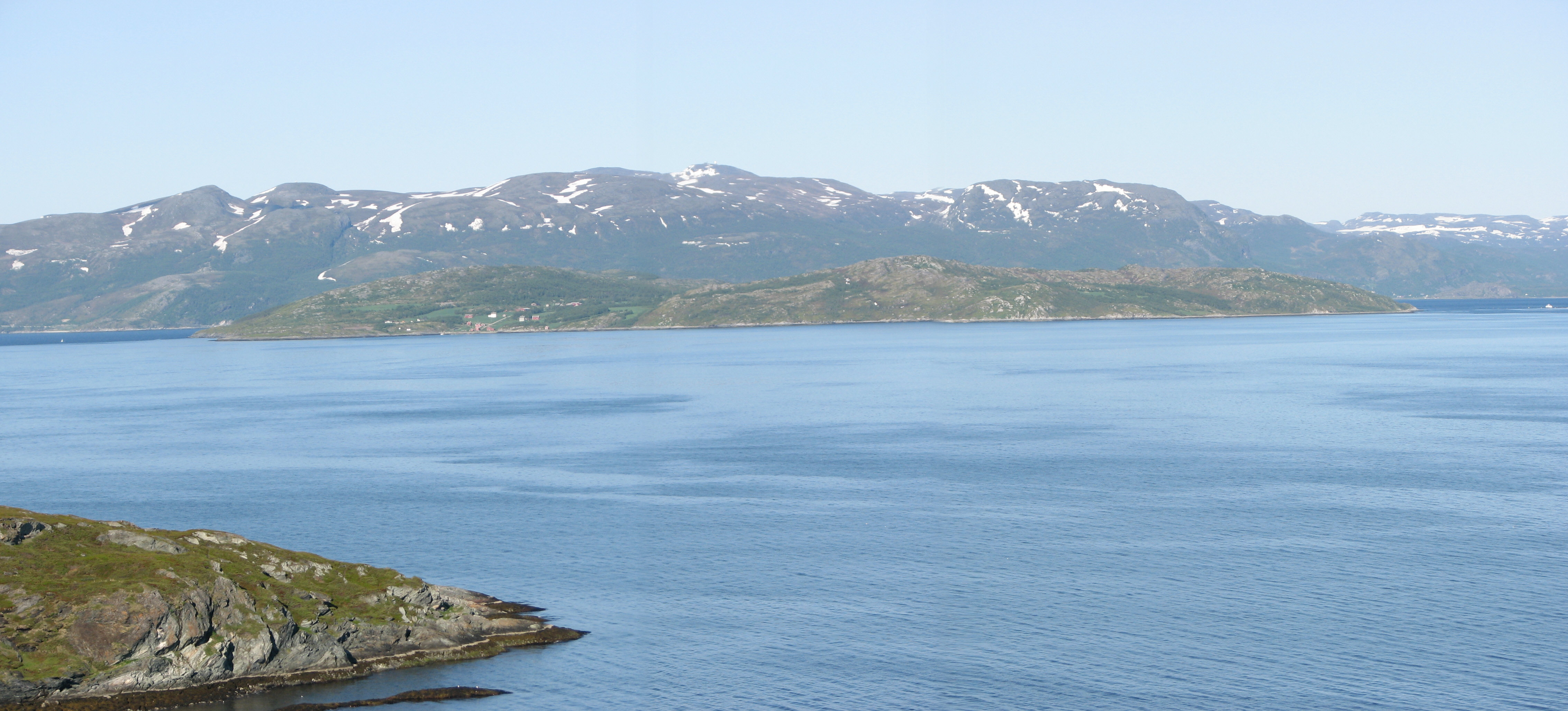
From the Air
Altenhus Fortress was located on the island of Aroya in the Altafjord at approximately 63.01N, 7.25E (note: the Wikipedia coordinates appear to place this in More og Romsdal; the actual Alta/Finnmark location is near 70.0N, 23.1E). The island is visible in the Altafjord. Nearest major airport is Alta Airport (ENAT). Earthen ramparts are the only surviving remains -- visible at low altitude as subtle mound formations on the island. Best viewed at 2,000-3,000 ft AGL.