Amanohashidate
The instruction sounds absurd: stand on the mountaintop, turn your back to the bay, bend over, and look at the scenery from between your own legs. Yet for centuries, visitors to Amanohashidate have done exactly this. The practice is called matanozoki, and when you try it, the inverted view transforms a pine-covered sandbar into something that appears to float between sea and sky, a bridge hung in mid-air. That optical trick captures the essence of Amanohashidate, one of Japan's Three Scenic Views, a natural formation so improbable and beautiful that the Japanese decided long ago it must have fallen from heaven.
The Bridge That Fell from the Sky
In Japanese mythology, the gods Izanagi and Izanami used a celestial bridge called Ama-no-hashidate to travel between heaven and earth. The legend holds that Izanagi placed a ladder to visit Izanami, but it toppled into the ocean while he slept, becoming the sandbar that stretches across Miyazu Bay today. The name Amanohashidate translates literally to 'bridge to heaven,' and standing at either end of this slender ribbon of land, the name does not feel like exaggeration. The sandbar runs approximately three kilometers across the bay in northern Kyoto Prefecture, connecting two mountainous headlands. At its narrowest it measures just 20 meters across. About 7,000 pine trees crowd its length, their roots somehow gripping sand that the sea continually reshapes.
Three Views, One Crown
Since 1643, when the Confucian scholar Hayashi Gaho published his list, Amanohashidate has been recognized as one of Japan's Three Scenic Views alongside Matsushima in Miyagi Prefecture and Miyajima in Hiroshima Prefecture. The designation is not merely historical decoration. Mountains rise steeply on both sides of Miyazu Bay, and observation points on each summit offer dramatically different perspectives. From the south, at Kasamatsu Park, the sandbar appears to rise into the clouds when viewed through matanozoki. From the east, the view is called Sesshukan, named because it resembles the famous ink wash painting 'Amanohashidate-zu' by the master Sesshu, completed around 1501 and now designated a national treasure in the Kyoto National Museum's collection. Sesshu painted the scene from roughly this vantage, capturing the bar, the bay, and the surrounding mountains in luminous monochrome.
Sacred Ground on Sand
The sandbar is not simply scenery. Near its northern end stands Kono Shrine, a Shinto shrine of considerable antiquity. At the southern end sits Chion-ji, a Buddhist temple. Between them, on the bar itself, is the Isoshimizu freshwater well, a natural spring that has been cherished since the Heian period, over a thousand years ago. In 1985, Japan's Environmental Agency selected Isoshimizu as one of the country's 100 best springs and rivers. That fresh water flows at all on a narrow marine sandbar is one of Amanohashidate's small miracles. Visitors can walk the full length of the bar in about 45 minutes, following a tranquil dirt path beneath the pine canopy. The walk is quiet except for birdsong and the sound of small waves on both sides.
Reaching the Bridge
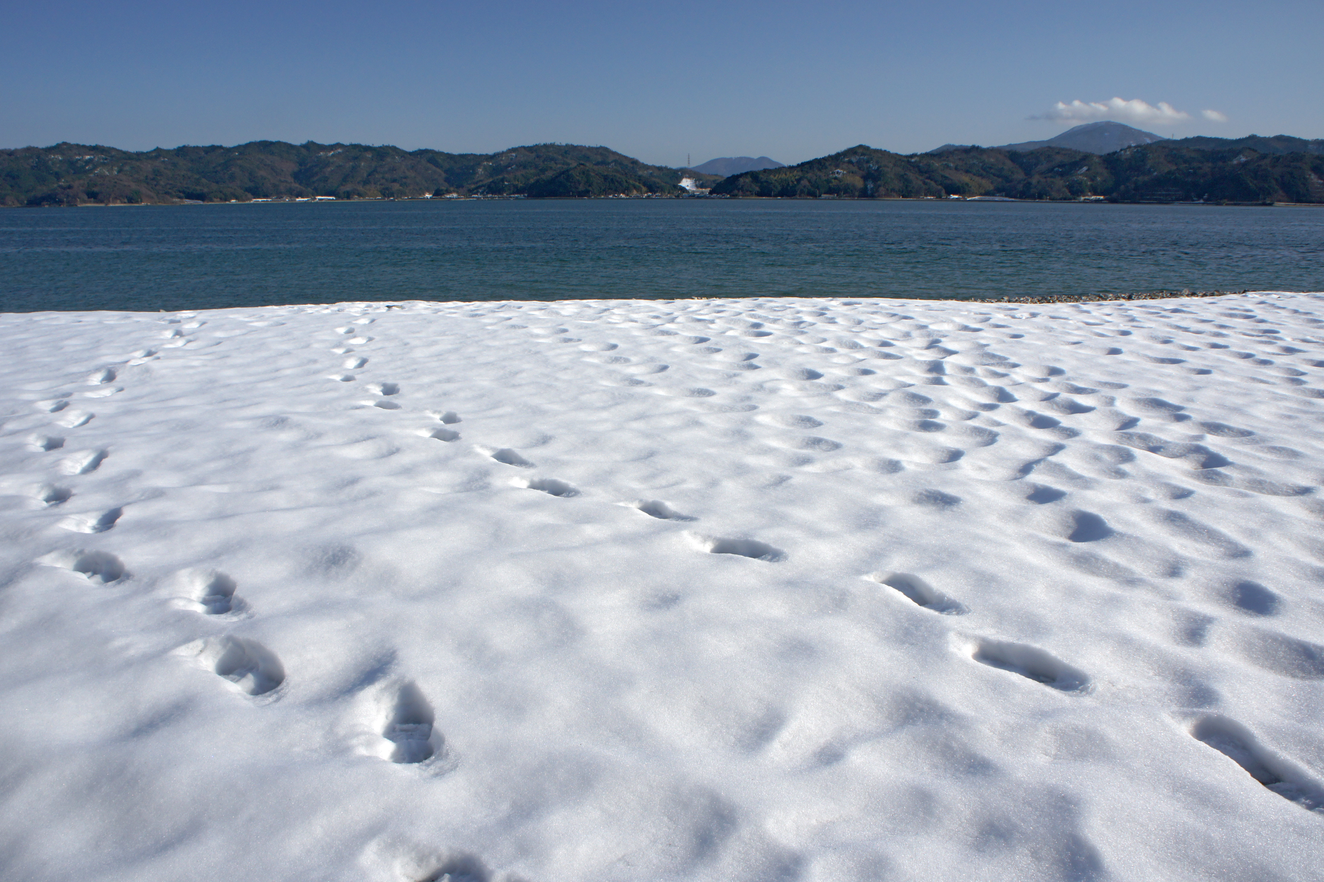
Amanohashidate lies within the Tango-Amanohashidate-Oeyama Quasi-National Park, a protected landscape of mountains, coastline, and forest on the Sea of Japan side of Kyoto Prefecture, far from the ancient capital's famous temples. Amanohashidate Station on the Miyazu Line railway sits within walking distance of the southern end of the sandbar, roughly two hours from both Kyoto Station and Osaka Station. The journey itself passes through rural mountain valleys that few international visitors see. From the air, the sandbar is unmistakable: a thin green line bisecting the blue oval of Miyazu Bay, connecting two dark mountainous shores. It looks exactly like what the myths describe, a narrow passage between worlds, fragile and ancient, still standing.
From the Air
Located at 35.569N, 135.192E in Miyazu Bay, northern Kyoto Prefecture, on the Sea of Japan coast. The sandbar is unmistakable from the air: a thin, pine-covered strip of land approximately 3 km long, bisecting the oval bay between two mountainous headlands. The nearest airport is Kansai International (RJBB), roughly 150 km to the south. Osaka International (RJOO/Itami) is about 120 km south. The bay opens northward toward the Sea of Japan. Look for the narrow green line crossing blue water, with the small city of Miyazu on the western shore.