American Falls Dam
In 1923, the federal government invoked eminent domain and told the residents of American Falls, Idaho, to pack up and move. Three-quarters of their town would soon be underwater. The Bureau of Reclamation was building a dam, and the reservoir it created would swallow most of the settlement that had grown up around the Snake River's cascading falls. The townspeople relocated, their old streets and buildings vanishing beneath the rising waters. But the story did not end there. Fifty years later, the dam itself would be condemned, its concrete crumbling from an insidious chemical reaction. The massive structure that had erased a community would itself be demolished and rebuilt.
Ancient Waterworks
Long before humans built dams here, nature was already experimenting. During the late Pliocene, more than a million years ago, a lava dam created a broad shallow lake across the Raft River basin. The lake filled with fine sand, silt, and gravel before the natural dam breached and drained. These sediments, called the Raft Formation, still lie beneath the present-day reservoir. Later, basalt flows from volcanic vents completely dammed the Snake River at various points, creating reservoirs where more sediments accumulated. The Snake River Group and the American Falls Lake Beds record this volcanic and sedimentary history. The river has spent the last million years eroding its channel through this legacy of fire and water.
The Original Falls
The city of American Falls was platted in the early 1880s, named for the waterfall where the Snake River channel narrowed and cascaded over highly jointed basalt in several drops. The first power plant was built on the falls in 1902, acquired by Idaho Power Company in 1916. The falls represented both the promise and the obstacle of the Snake River Plain: abundant water that was difficult to control. The Carey Act of 1894 had opened the door to private irrigation investment, and by 1895, an American Falls irrigation project came before the Idaho State Land Board. The National Reclamation Act of 1902 brought federal money into western water management, setting the stage for what would come next.
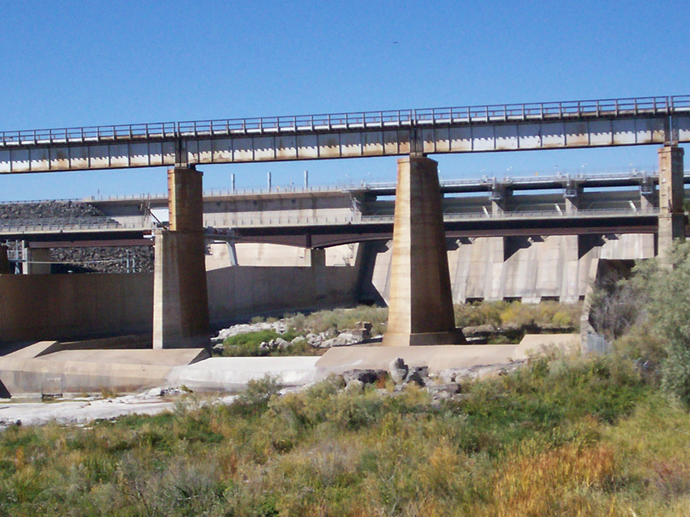
Drowning a Town
The Bureau of Reclamation began constructing the first American Falls Dam in 1925, completing it in 1927. Engineer Frank A. Banks designed the concrete gravity-type structure. The Oregon Short Line Railroad bridge had to be raised to clear the new reservoir. For the displaced residents, the forced relocation sparked lawsuits. In Brown v. United States (1923), the Supreme Court ruled that property valuations must include the value of streets and improvements that would need to be rebuilt at the substitute site. The reservoir eventually stretched across three counties: Power, Bingham, and Bannock. What had been a waterfall and a small Idaho town became part of the Minidoka Project, serving flood control, irrigation, and recreation.
Betrayed by Chemistry
In the early 1960s, engineers took core samples from the original dam and discovered troubling news. A chemical reaction between components of the concrete had caused deterioration, impairing the structure's durability and strength. The dam that had forced a community to relocate was now itself failing. Congress authorized replacement on December 28, 1973. The solution was not repair but complete replacement: a second dam built downstream to replace the original. In 1976, Idaho Power Company built the current power plant with three generators capable of producing 112 megawatts of hydroelectricity. The second American Falls Dam was completed in 1978, and the original structure was demolished.
Sacred Ground Submerged
The dam's expansion was not without opposition. Members of the Shoshone and Bannock communities fought the project, which would further flood the lands of the Fort Hall Bottoms. Native Americans have inhabited this region for at least 10,000 years, and the area remains an important cultural resource. Scientists joined the opposition, concerned about the loss of natural habitat and access to fossil records in the Bottoms. The dam stands today at river mile 714.7 of the Snake River, a monument to reclamation-era ambitions and the compromises they demanded. The falls that gave the town its name no longer cascade freely. The original town exists only in photographs. And the first dam exists only in the sediments it left behind.
From the Air
American Falls Dam is located at 42.781N, 112.876W on the Snake River Plain. The dam and reservoir are clearly visible from altitude, with the reservoir stretching northeast into Bingham and Bannock Counties. The town of American Falls sits on the south side of the dam. Nearby airports include Pocatello Regional Airport (KPIH, 25 miles east) and Twin Falls Magic Valley Regional Airport (KTWF, 65 miles west). Best viewed at 6,000-8,000 feet AGL. The Snake River provides an excellent navigation reference, with the dam visible where the reservoir narrows.