Amsterdam-Noord
The ferry leaves the back of Amsterdam Centraal every two minutes, free, and the crossing takes less time than it takes to find a seat. On the south bank you are in the Amsterdam of canals and postcards. On the north bank, three minutes later, you are somewhere else entirely - the Volewijck peninsula, which Amsterdam first acquired in 1393, used until 1795 as a gallows field where the corpses of the executed were hung in public view as a warning. Ninety thousand people live in Amsterdam-Noord today, in eighteen neighbourhoods spread across forty-nine square kilometres of reclaimed marsh and absorbed villages, and the borough is still the part of Amsterdam most surprised that the city eventually came to it.
Across the Water
The IJ is the reason. The body of water that separates Noord from Amsterdam-Centrum is wider than a canal and stranger than a river - an inland sea-arm that was never quite tamed. For most of Amsterdam's history, anything north of the IJ was somewhere you sent things you did not want next door: the gallows, later the heavy industry, later the polluting factories. The Noordhollandsch Kanaal cut through from 1824, providing a way to move ships north toward Den Helder without trusting the Zuiderzee. After 1876, when the new North Sea Canal opened the harbour to ocean steamers, Amsterdam's municipal council made a decision that defined the next century of the borough: it converted Noord's rural fields into industry. Wet docks, shipyards, and the Amsterdam Drydock Company set up shop on the north bank. People followed the work.
Fokker and the Bombs
After the First World War the aviation pioneer Anthony Fokker chose Amsterdam-Noord for his aircraft factory, drawn by the same combination of open ground, water access and municipal welcome that had attracted the shipbuilders. The Fokker works became one of the borough's defining employers. They also made it a target. On 17 July 1943, United States Army Air Forces bombers came for the factory and missed it; their bombs fell on the residential neighbourhoods that had grown up around the works. One hundred and eighty-five people died that day, 119 more were seriously injured. The Royal Air Force returned on 25 July and the Free French on 28 July. By the end of three raids, more than two hundred residents of Amsterdam-Noord were dead, 130 homes destroyed, 206 heavily damaged. Only the British attempt actually hit the factory. The borough still gathers every 17 July at De Nieuwe Noorder cemetery to remember them.
After the Yards Closed
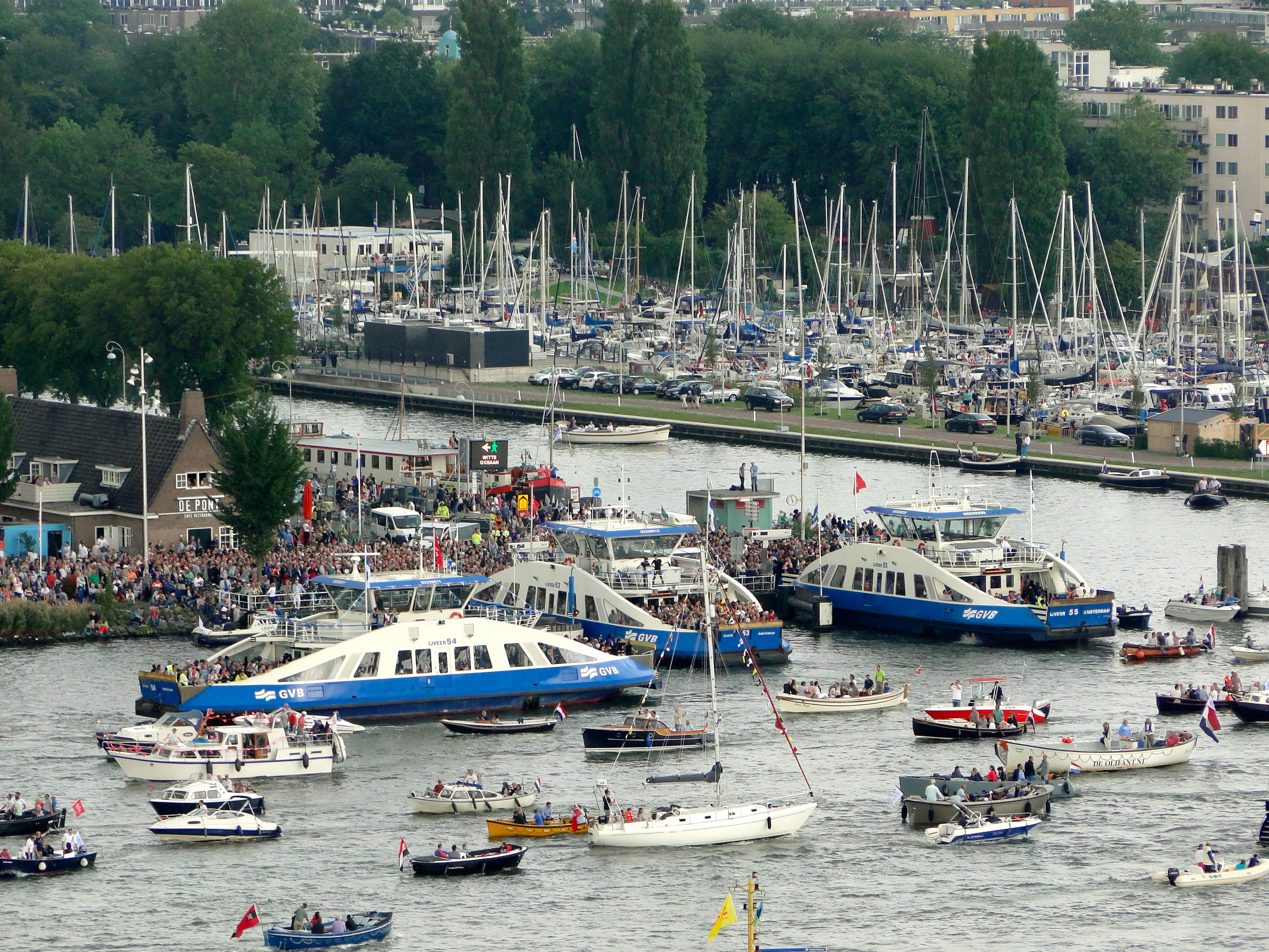
Heavy industry left in the late twentieth century. The NDSM shipyard - once the largest in the world - was abandoned by the 1980s, leaving giant cranes and warehouses behind. For a while it was the sort of place artists and squatters take over when nobody else wants the rent. Now NDSM-werf is a creative quarter, with studios, festivals, the IJ Hallen flea market, and the Botel hotel moored alongside. Across at Overhoeks, the EYE Film Institute opened its swooping white building in 2012 - inaugurated by Queen Beatrix - and the A'DAM Toren, the former Shell research tower, became an observation deck with a swing on its roof that dangles riders 100 metres over the IJ. The free GVB ferries run twenty-four hours a day. Two minutes from Centraal to Buiksloterweg, longer to NDSM, every connection a small commute across a city's own water.
Past the Ring
Beyond the urban core, Amsterdam-Noord becomes something rarer: a piece of Amsterdam that still looks rural. Landelijk Noord - the special district of Durgerdam, Holysloot, Ransdorp, Schellingwoude, Zunderdorp and 't Nopeind - was a string of fishing and farming villages that joined the city in the early twentieth century for the financial protection but kept their distance physically. Durgerdam sits on a single dike overlooking the Markermeer. Ransdorp's church tower rises above polder fields where Egyptian geese walk their goslings down the Elzenhagensingel. The 1792 windmill Krijtmolen d'Admiraal still turns on the Noordhollandsch Kanaal. The Metro Route 52 opened in 2018 and finally connected Noord to the rest of the network, but you can ride to the end of the line, walk twenty minutes, and stand somewhere that has not heard a tram in its life.
From the Air
Amsterdam-Noord lies at 52.39°N, 4.92°E, immediately north of the IJ from the historic city centre. The borough's southern boundary - the IJ waterway and the EYE Film Institute's white wedge - is the most recognisable landmark from the air, along with the A'DAM Toren and Centraal Station's twin spires on the opposite bank. Schiphol (EHAM) is approximately 15 km southwest. Approach paths into Schiphol from the north often pass directly over Noord; the polder villages of Landelijk Noord and the Markermeer shoreline are obvious in good visibility.