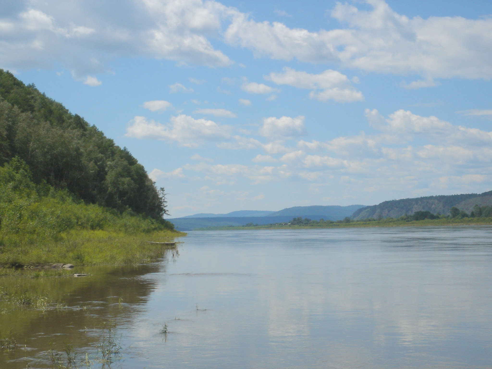
Amur River
The Chinese call it Heilongjiang -- the Black Dragon River. The Mongolians call it Khar moron -- the Black River. The Manchus called it Sahaliyan Ula, which also means Black River. Even the name "Amur" may derive from a Tungusic word meaning simply "river," or from the Dagur word mur, meaning "big river." Every culture that has lived along its banks has named it for its most obvious quality: immensity. At over 4,400 kilometers including its main tributary the Argun, the Amur is the tenth-longest river in the world and the third-longest undammed. It drains a basin of more than two million square kilometers across Russia, China, and Mongolia, emptying through a wide estuary at Nikolayevsk-on-Amur into the Strait of Tartary and the Sea of Okhotsk.
A River of Many Names
The etymology of "Amur" remains genuinely uncertain. It may come from the Evenki word amur or the Even word amar, both meaning "river" in their Tungusic languages -- though linguists cannot determine whether Russian borrowed the name from these languages or the other way around. What is clear is that the river has always been a boundary, a border between peoples who understood it differently. The ancient Chinese knew it as Heishui, "black water." The modern Chinese name Heilongjiang -- "Black Dragon River" -- evokes something wilder, a force with its own temperament. The river flows east from the confluence of the Shilka and Argun, forming the border between Russia and China as it arcs through a series of enormous turns, collecting tributaries like the Zeya, the Bureya, and its largest, the Songhua, before turning northeast toward Khabarovsk and ceasing to define any border at all.
The Kaluga and the Lotus
The Amur harbors at least 123 species of fish from 23 families, with several found nowhere else. The most astonishing is the kaluga, a sturgeon species and one of the largest freshwater fish in the world, capable of growing to extraordinary lengths. The Amur sturgeon is endemic to the river system. But the Amur's biological surprises extend beyond fish: the river is home to the northernmost populations of the Amur softshell turtle and the Indian lotus, tropical species persisting at latitudes where winters freeze the river solid. This ecological range -- from lotus flowers to ice-covered channels navigated by dog sleds -- reflects the river's journey through dramatically different climate zones, from the Mongolian steppe to the subarctic forests of the Russian Far East.
Bridges Across a Contested Border
The first permanent bridge across the Amur, at Khabarovsk, was completed in 1916 with an overall length of 2,590 meters. It allowed the Trans-Siberian Railway to cross the river year-round, replacing a system of ferries in summer and rail tracks laid on the frozen river in winter. A railway tunnel was added beneath the river in 1941. Later came a combined road and rail bridge at Komsomolsk-on-Amur in 1975 and the modern Khabarovsk Bridge in 1999, stretching 3,890 meters. The Tongjiang-Nizhneleninskoye railway bridge, connecting China to the Jewish Autonomous Oblast in Russia, was proposed in 2007, with the Chinese side completed in 2016 and structural linkage achieved in 2019. Each bridge represents not just engineering but diplomacy -- crossing a river that has been a fault line between empires for centuries.
The Border That Became a River
Between the cities of Blagoveshchensk in Russia and Heihe in China, the Amur widens as the Zeya joins it, and you can stand on one bank and look across at another country's apartment blocks. The river defined the boundary between Russian and Chinese territory under the Treaty of Aigun in 1858 and the Convention of Peking in 1860, and it has been contested ever since. The Sino-Soviet border conflict of 1969 saw military clashes along the river and its tributaries. Past Khabarovsk, where the Ussuri joins and the border ends, the Amur enters a different character entirely -- braiding out across a wide valley, passing Amursk and Komsomolsk-on-Amur, narrowing again, then turning sharply east to its estuary. The final stretch to the Sea of Okhotsk passes through some of the most sparsely inhabited territory in the Northern Hemisphere.
From the Air
Located at 52.99N, 141.05E near the Amur River's mouth at Nikolayevsk-on-Amur. The river forms a visible border between Russia and China for much of its length. Follow the river east from Khabarovsk (UHHH) through braided channels and wide valleys to the estuary at the Strait of Tartary. Best viewed at 10,000-20,000 ft to appreciate the massive scale of the drainage basin. The Trans-Siberian Railway bridge at Khabarovsk and the wide braided sections near Komsomolsk-on-Amur are notable landmarks.