Anglesey
The Romans called it Mona. The Vikings named it something like Ongullsey -- Hook Island. The Welsh call it Ynys Mon, a name so old its meaning has been debated for centuries, perhaps derived from a Celtic word for mountain. Anglesey has accumulated names the way it has accumulated history: in dense, overlapping layers, each one reflecting the perspective of whoever arrived most recently. At 676 square kilometres, it is the largest island in Wales, the largest in the Irish Sea, and the seventh largest in Britain -- large enough to sustain its own identity, small enough that no point on it is truly far from the sea.
Before the Romans Came
Human settlement on Anglesey reaches back to the Mesolithic period. The oldest excavated site, Trwyn Du at Aberffraw, contains material dating to approximately 7000 BC, buried beneath a Bronze Age kerb cairn. By 4000 BC, Neolithic farmers were building long houses -- the settlement at Llanfaethlu is among the earliest villages in Wales. The most famous prehistoric monument is Bryn Celli Ddu, a burial mound that began as a henge enclosure around 3000 BC and was adapted over the next millennium into a passage grave. The island's flat, fertile terrain made it attractive to early agriculturalists, and the surrounding sea provided both food and a degree of natural protection. Iron Age hillforts dot the landscape, some in use for nearly a thousand years before the Romans arrived.
Mona and the Druids
When the Roman general Gaius Suetonius Paulinus crossed the Menai Strait in AD 60, he found Anglesey serving as a refuge for Druids and a centre of resistance against Roman expansion. Tacitus described the scene: warriors lining the shore, women in black running among them with torches, Druids raising their hands and calling down curses. The Romans hesitated, then attacked. The sacred groves were destroyed, and Mona became part of the province of Britannia. But the island's strategic importance persisted through every subsequent era. After Roman withdrawal, Irish settlers invaded, until Cadwallon Lawhir defeated them. The medieval House of Aberffraw, which ruled the Kingdom of Gwynedd until 1283, originated on Anglesey and maintained royal courts at Aberffraw and Rhosyr.
Two Bridges to the Mainland
For most of its history, Anglesey was separated from the Welsh mainland by the Menai Strait -- a tidal channel that could be crossed by boat but that kept the island functionally distinct. That changed in the 19th century with two engineering marvels. Thomas Telford's Menai Suspension Bridge, completed in 1826, was one of the world's first major suspension bridges and carried the road traffic that had previously relied on ferries. Robert Stephenson's Britannia Bridge followed in 1850, originally a tubular railway bridge that was later rebuilt after a fire in 1970. Together, they transformed Anglesey from an island you visited by deliberate choice into a place you passed through on the way to the Holyhead ferry terminal and Dublin beyond.
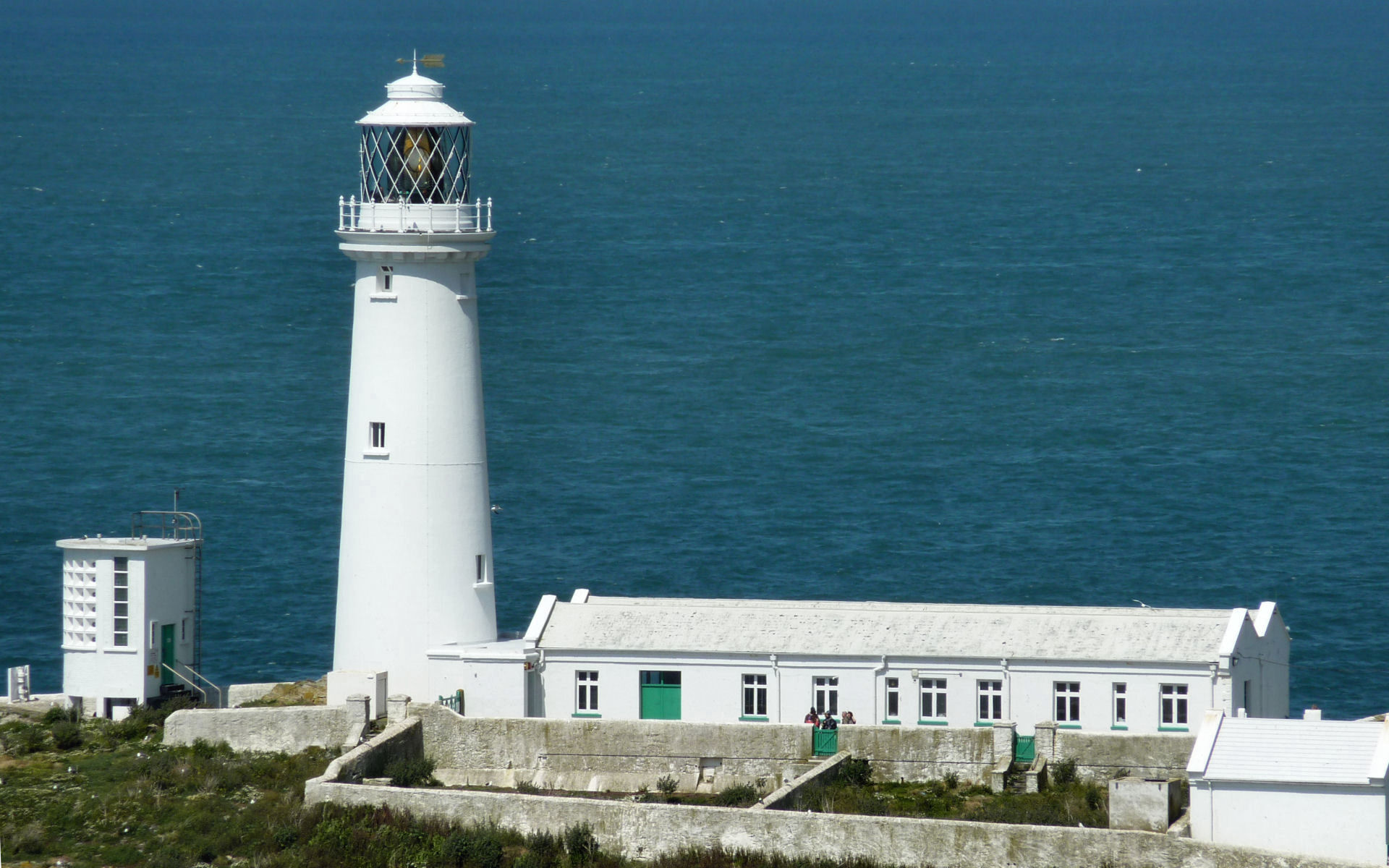
Y Fro Gymraeg
Anglesey belongs to Y Fro Gymraeg -- the Welsh-speaking heartland. Over 57 percent of the county's residents speak Welsh, the second-highest proportion in Wales. The language is not a heritage curiosity here but a living medium: the language of schools, council meetings, shop conversations, and pub arguments. The island's coastline, much of it designated an Area of Outstanding Natural Beauty, draws walkers and birdwatchers -- Puffin Island and South Stack host significant seabird colonies. But the deeper draw is the sense of continuity. The burial chambers, the medieval court sites, the castles -- including Beaumaris, Edward I's unfinished masterpiece of concentric design at the island's southeastern corner -- all exist in a landscape where the language they were built in is still spoken. Anglesey has been continuously inhabited for nine thousand years. The conversation has not stopped.
From the Air
Located at 53.29N, 4.38W off the northwest coast of Wales, separated from the mainland by the Menai Strait. The island is 676 sq km and clearly visible from cruising altitude. Key landmarks: Menai Suspension Bridge and Britannia Bridge at the southeast, Holyhead Mountain (722ft) on Holy Island to the west, Beaumaris Castle at the southeast corner. Nearest airports: RAF Valley (EGOV) on the island, Anglesey Airport. Caution: exposed to Irish Sea weather with frequent strong crosswinds.