Apache Pass
The Spanish called it Puerto del Dado - the Pass of the Die - because crossing through these mountains was a gamble with your life. In the vast Chihuahuan Desert of southeastern Arizona, where the Dos Cabezas Mountains and Chiricahua Mountains nearly touch, a single freshwater spring made Apache Pass the most dangerous and most essential waypoint for anyone traveling between Texas and California. For the Chiricahua Apache, this was home. For westward migrants, it was a desperate necessity. And for everyone, it was a place where the stakes of encounter could be measured in lives.
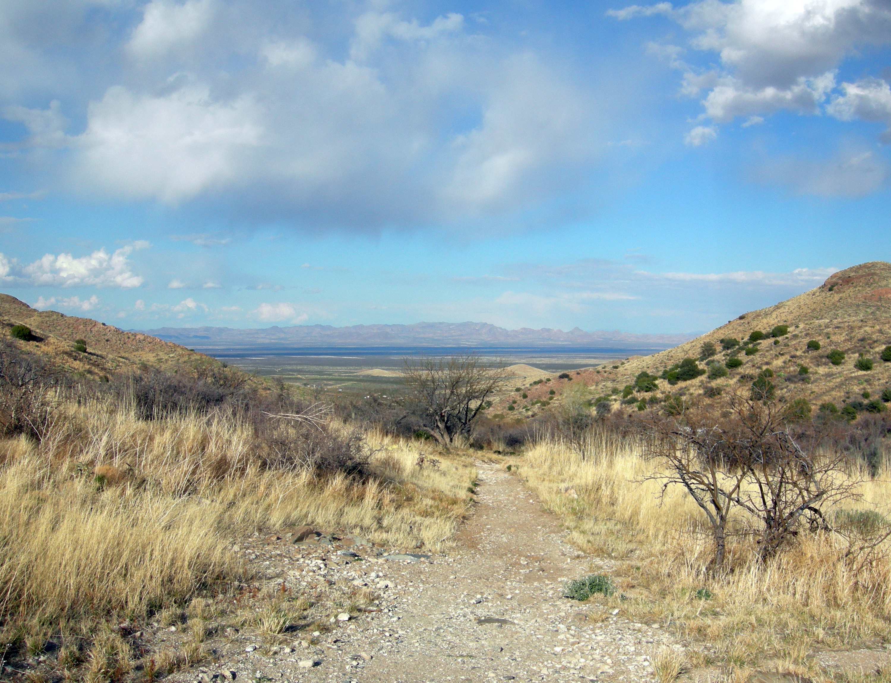
The Oasis in the Crucible
Apache Spring emerges from a geological fault line running through the pass, and for thousands of years it served as the only reliable water for miles in any direction. The Chiricahua Apache made it their crossroads, with trails from all directions converging on this precious water source. The great leader Cochise favored the area as a winter and spring camping ground, and hundreds of Chiricahuas often lived nearby. The pass sits higher than the surrounding desert, offering cooler temperatures, abundant game, and plentiful firewood. For the Apache, it was perfect. For anyone else attempting to cross their territory, it was an unavoidable chokepoint where negotiations - or confrontations - were inevitable.
The Stagecoach Gamble
In 1858, the Butterfield Overland Mail Company built a stone way station on the eastern side of Apache Pass, part of their ambitious stagecoach route connecting Saint Louis to San Francisco. They chose stone deliberately - an acknowledgment of the constant danger they faced from the Chiricahuas who watched every movement through their territory. The station stood 35 miles from Stein's Peak Station and 49 miles from Dragoon Springs, with no water between except what the spring provided. Remarkably, Cochise's band often supplied the travelers with firewood when he was in the area, a fragile coexistence that hinted at possibilities that would never be realized.
The Bascom Affair
In February 1861, a rash decision destroyed whatever peace existed at Apache Pass. Lieutenant George Bascom arrived with federal troops to demand the return of a kidnapped child he believed Cochise had taken. When Cochise agreed to meet under a flag of truce, Bascom attempted to arrest him. Cochise escaped by slashing through the tent wall, but the standoff that followed ended with hostages dead on both sides. The betrayal sparked an eleven-year war. Cochise, who had maintained cautious relations with the Americans, became their implacable enemy. The resulting conflict would consume the Southwest and transform Apache Pass from a dangerous waypoint into a battlefield.
Fortress and Reservation
After the Battle of Apache Pass in July 1862, the U.S. Army built Fort Bowie to control the spring and the pass. First a rudimentary post near the water, then a more permanent installation on the nearby tableland. The fort became headquarters for the long campaign against the Chiricahua. When Cochise finally made peace with General Oliver Howard in 1872, the treaty created a reservation centered on Apache Pass, with the Indian agency adjacent to Fort Bowie. But the peace outlived Cochise by only four years. After his death in 1874, the Chiricahuas were forced north to San Carlos. The wars continued until Geronimo's surrender in 1886.
Silent Witness
Today, Apache Pass lies within Fort Bowie National Historic Site. The stone foundation of the Butterfield stage station still marks where nervous travelers once watered their horses under watchful eyes. The ruins of the agency building stand near the cemetery. Near the top of the pass, visitors can find the sites where Bascom executed his Apache hostages and where Cochise's followers burned theirs in retaliation. Apache Spring still flows, though reduced to a trickle of its former volume. The calm that settles over this landscape now belies the three decades of blood and fire that once defined it.
From the Air
Apache Pass sits at approximately 32.15N, 109.48W between the Dos Cabezas Mountains and Chiricahua Mountains. The pass is visible as a gap between the ranges at around 5,000 feet elevation. Fort Bowie National Historic Site trails are visible from low altitude. Nearest airports: Willcox (no ICAO, private strips), Tucson International (KTUS) 90nm west, Douglas Bisbee International (KDUG) 50nm south. Desert terrain requires attention to density altitude. Best viewed early morning or late afternoon when shadows define the terrain.