Apo Reef
From a boat two and a half hours southwest of Sablayan, the first sign of Apo Reef is a change in water color -- the deep blue of the Mindoro Strait gives way to an impossible turquoise, then to pale jade where the reef platform rises close to the surface. At 34 square kilometers, this is the largest coral reef system in the Philippines and the second-largest contiguous reef on Earth, a roughly triangular formation stretching 26 kilometers north to south and 20 kilometers east to west. Only three small islands break the surface. Everything else -- the vast architecture of branching corals, the channels of white sand, the walls dropping into deep blue -- lies below.
Older Than Civilization
The reef visitors see today is a relatively young structure growing on far more ancient bones. Studies indicate that the modern coral formation developed atop an old reef that dates to the last glacial cycle, approximately 19,000 years ago. As sea levels rose and fell during the millennia of deglaciation, the living reef adapted, building and retreating in response to the shifting water. The crust beneath Apo Reef is slowly subsiding toward the Manila Trench, adding geological drama to an already dynamic system. The result is a reef whose surface morphology records thousands of years of fluctuating seas -- a living document of the planet's climatic history, written in limestone and coral polyps. The north lagoon, a shallow triangular platform that partly exposes during low tide, and the deeper south lagoon at roughly 30 meters are separated by a channel running east to west, its bottom carpeted with fine white sand and studded with mounds of branching coral.
Three Islands in an Underwater Country
Apo Reef's main geographical feature is submerged, but three islands mark its presence above the waterline. The largest, Apo Island at 22 hectares, supports mangroves, beach vegetation, and a permanent ranger station. A lighthouse stands on the island, guiding vessels through the Mindoro Strait. The second island, Apo Menor -- locally called Binangaan -- sits near the reef's western edge, primarily composed of rocky karst. The smallest, Cayos del Bajo (known locally as Tinangkapan, meaning "Keys of the Bank"), barely rises above the waves. All three are uninhabited except by the rangers and members of Task Force MARLEN, the Marine and Apo Reef Law Enforcement for Nature team that rotates through the protected area on weekly shifts. Their presence is the reef's most visible line of defense against poaching and illegal fishing.
From Open Fishery to No-Take Zone
Apo Reef's journey toward protection has been incremental and hard-won. President Ferdinand Marcos first declared it a Marine Park in 1980. Three years later, the local government of Sablayan added its own designation as a Tourism Zone and Marine Reserve. In 1996, President Fidel Ramos elevated the entire reef to a protected natural park. But the real turning point came in September 2007, when the Philippine government banned all fishing within the reef following a survey by the World Wide Fund for Nature that documented the damage commercial and illegal fishing had caused. The ban displaced hundreds of fishermen from Sablayan and surrounding communities -- a painful trade-off that the government tried to offset by opening the marine park to tourism, generating revenue that could flow back to affected families. In 2018, President Rodrigo Duterte signed the Expanded National Integrated Protected Areas System Act, formally declaring Apo Reef a national park under Republic Act No. 11038.
What Lives Below
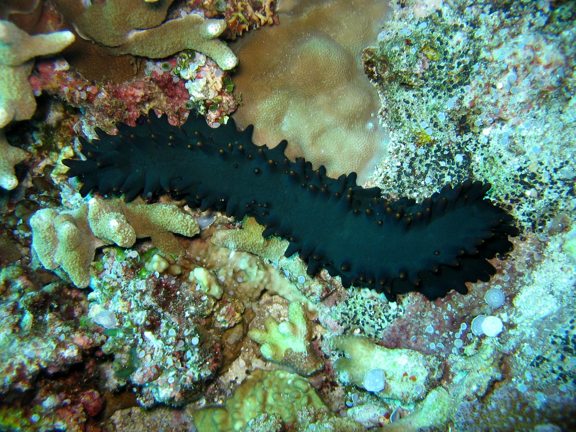
Divers come to Apo Reef for the large animals. Sharks patrol the outer walls where the reef drops steeply into deep water. Giant Napoleon wrasses -- enormous, slow-moving fish with thick lips and a distinctive hump on the forehead -- cruise the shallower sections with an almost regal indifference to passing humans. Manta rays glide through the channels between the north and south lagoons. But the reef's richness extends far beyond its charismatic megafauna. Yellowmargin triggerfish, cushion stars, yellow crinoids, soft corals in pale yellows and whites, and sea cucumbers populate every surface. The water clarity is exceptional, and the white sand bottom of the central channel creates an almost luminous quality to the light. Snorkelers floating above the shallow north lagoon can see coral formations in vivid detail without ever going below the surface. The reef has been submitted to UNESCO's World Heritage Centre for consideration, recognition that would place it alongside the Philippines' only other reef World Heritage Site, Tubbataha.
Guarding the Reef
Reaching Apo Reef requires commitment. The two-and-a-half-hour boat ride from Sablayan on Mindoro's western coast crosses open water in a traditional pump boat, or banka, heading roughly 240 degrees southwest. All visitors pay an environmental fee administered jointly by the local government and the Department of Environment and Natural Resources. Overnight stays are possible in tents on Apo Island, though facilities are deliberately limited to protect the fragile ecosystem. The isolation is both the reef's greatest vulnerability and its strongest defense. Without constant ranger presence, illegal fishing could devastate the system within years. With it, the reef continues to recover and diversify, its coral gardens thickening, its fish populations rebuilding. For those who make the crossing, Apo Reef offers something increasingly rare: a marine wilderness that feels genuinely wild, where the scale of the living reef dwarfs any human presence upon it.
From the Air
Apo Reef is located at 12.7N, 120.483E in the Mindoro Strait, approximately 28 km west of the coast of Mindoro. From altitude, the reef appears as a large triangular patch of lighter water against the deep blue of the strait, with three tiny islands visible. The reef stretches roughly 26 km north-south and 20 km east-west. Sablayan Airport on Mindoro's west coast is the nearest airfield. The reef lies between Mindoro and Palawan, making it visible on routes between Manila and Coron/Busuanga. Best viewed at 5,000-15,000 feet where the reef structure and color change in the water are most dramatic.