Araya Peninsula
The salt pans at the tip of the Araya Peninsula are purple. Not metaphorically -- the shallow evaporation pools where seawater concentrates into crystalline salt take on a violet hue from the halophilic organisms that thrive in the brine. These natural salt deposits, sprawling across the peninsula's western extremity, were valuable enough to trigger decades of conflict between two European empires, generate a fort and a garrison, and ultimately inspire one of the landmark documentary films of Latin American cinema. For a substance as common as salt, the Araya Peninsula has produced an uncommonly dramatic history.
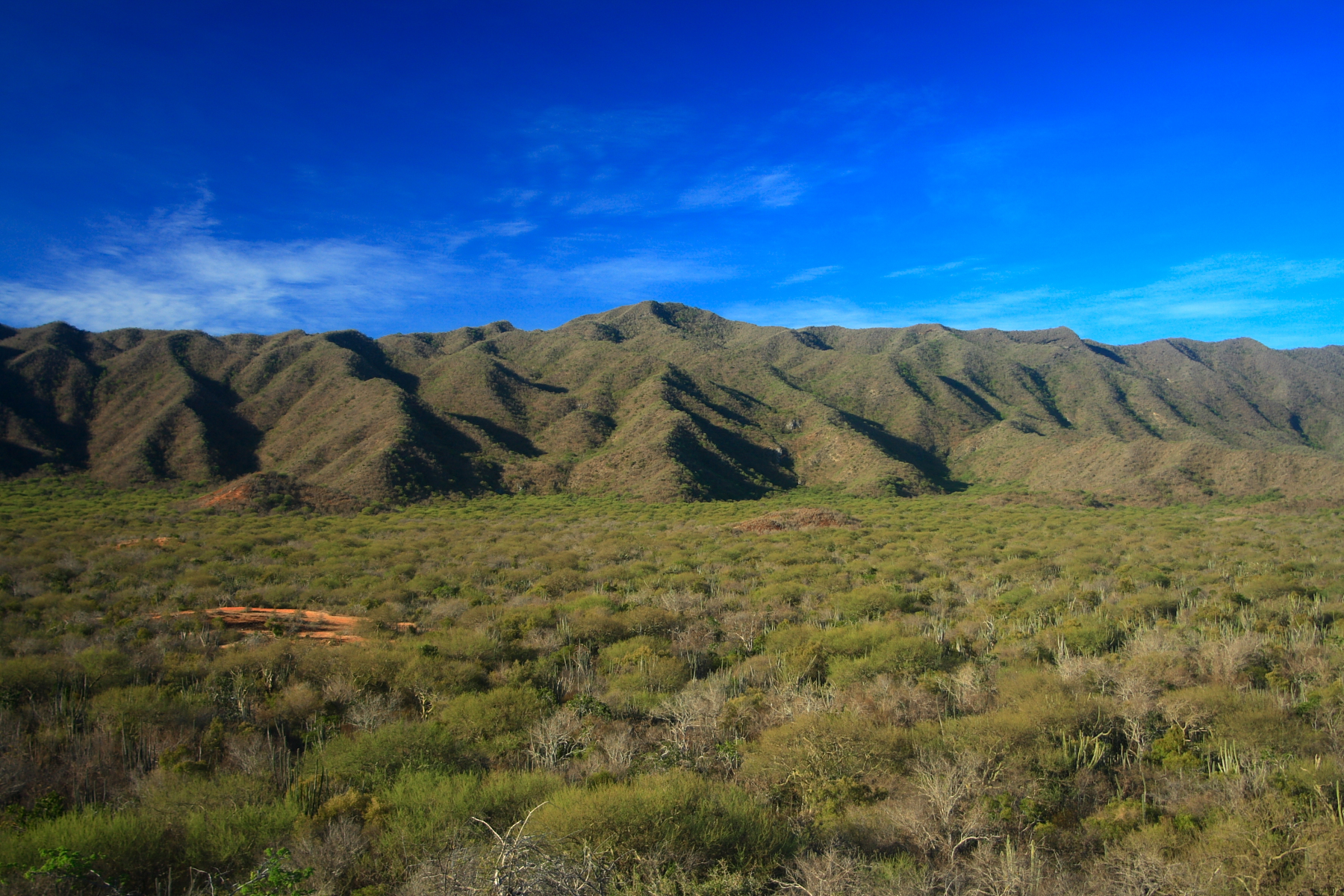
Geography at the Edge
The Araya Peninsula juts westward from Sucre State in northern Venezuela, enclosing a long bay that opens to the Caribbean. To the north lies Margarita Island, visible on clear days. The peninsula belongs to the eastern Serranía del Litoral mountain range, part of the Venezuelan Coastal Ranges that represent the northernmost extension of the Andes. The town of Araya sits at the peninsula's westernmost point, where the land narrows to a strip barely wider than its salt pans. The landscape is arid and exposed -- more desert than coast, more rock than sand. It is a place defined by wind, sun, and the relentless evaporation that makes its salt deposits self-renewing.
Salt Wars on the Caribbean
The Dutch North Sea fishing fleet ran on salt. Herring preservation demanded enormous quantities, and when the Eighty Years' War cut off access to Iberian salt supplies around 1599, Dutch merchants turned their attention to Araya. The salt here was reputed to be unusually pure and effectively inexhaustible, and the Dutch began loading it illegally. They also smuggled goods, engaged in piracy, and threatened the Spanish pearl fishery on nearby Margarita Island -- and they came in numbers too large for local Spanish forces to handle. In 1605, Spain sent a fleet that captured a dozen or more Dutch ships and consigned their crews to the galleys. The following year, the Dutch returned. During the Twelve Years' Truce beginning in 1609, they shifted back to Iberian sources, but when the truce expired in 1621, they sailed for Araya once more. This time, the Spanish built a fort and established a permanent garrison. Over the next two years, a series of battles finally drove the Dutch out for good, sending them to seek salt at Bonaire, Saint Martin, and La Tortuga Island instead.
Margot Benacerraf's Araya
In 1959, Venezuelan filmmaker Margot Benacerraf released Araya, a documentary that captured the lives of the salt workers on the peninsula. The film follows three families through their daily labor of harvesting salt by hand, a practice that had changed little over centuries. Benacerraf shot the film in luminous black and white, turning the blinding salt flats and the hunched figures of the workers into images of stark, almost geological beauty. The film won the International Critics' Prize at the Cannes Film Festival, sharing the award with Alain Resnais' Hiroshima mon amour. It remains one of the most celebrated documentaries in Latin American cinema -- a testament to how a seemingly simple subject, salt and the people who gather it, can illuminate an entire world.
The Peninsula Today
The Araya Peninsula remains one of Venezuela's more remote and austere landscapes. The salt pans still function, though industrial methods have largely replaced the hand-harvesting that Benacerraf filmed. Fishing communities dot the coastline, and the ruins of colonial-era fortifications stand as reminders of the centuries when this narrow strip of land was worth fighting over. From the air, the peninsula is unmistakable: a long finger of land stretching west into the Caribbean, its tip stained purple and white where the salt pans meet the sea. The bay it encloses -- the Gulf of Cariaco -- runs deep and sheltered, a geographic contrast to the exposed, wind-blasted peninsula that forms its northern wall.
From the Air
Located at 10.60°N, 63.98°W in Sucre State, northern Venezuela. The peninsula extends westward into the Caribbean, forming the northern wall of the Gulf of Cariaco. From the air, the purple-and-white salt pans at the western tip are a distinctive landmark. Margarita Island is clearly visible to the north across the channel. The nearest airport is Antonio José de Sucre Airport (SVCU) in Cumaná, approximately 50 km to the southeast along the coast. The peninsula's narrow, elongated shape makes it easy to identify from cruising altitude.