Ashmore and Cartier Islands
Captain Samuel Ashmore was sailing the Hibernia through the Timor Sea in 1811 when he spotted a scattering of low coral islands and claimed them for his name. Two centuries later, these specks of reef between Indonesia and Australia remain among the most restricted territories on Earth -- uninhabited, barely rising above the waterline, and accessible only to the occasional yacht crew willing to cross hundreds of kilometres of open ocean for the privilege of anchoring in turquoise water they are forbidden to touch.
Coral Kingdoms in Empty Water
Ashmore Reef and Cartier Reef sit roughly 320 kilometres off Australia's northwest coast, closer to Indonesia's Roti Island than to any Australian settlement. Between them they encompass some 750 square kilometres of reef system, yet their actual dry land amounts to barely more than a hundred hectares -- a handful of sand cays so low that a strong storm surge could wash over them entirely. West, Middle, and East Islands cluster within Ashmore Reef's lagoon, while Cartier Island, a mere 0.4 hectares, qualifies as little more than a sandbar with ambitions. The climate is arid tropical, similar to the Maldives, with rain confined to the December-to-May monsoon. When the wet season arrives, freshwater lenses form beneath the sand, but even this water may carry cholera. There are no trees worth the name, no buildings, no airstrip. What there is, beneath the surface, is extraordinary.
A Reef Richer Than It Should Be
With 255 species of reef-building coral documented, Ashmore holds the highest coral diversity of any reef off Western Australia's coast. The fish populations are typical of Asia-Pacific coral reefs but unusually rich, benefiting from the sheer variety of habitats packed into a small area. At least 13 species of sea snake patrol the waters -- more than have been recorded at any single site anywhere else in the world. Dugongs maintain a small population here, likely genetically distinct from mainland Australian herds, their connection to Indonesian populations still a mystery. Sea turtles breed on the beaches and feed in the shallows, while 93 bird species have been recorded overhead. For a place with almost no land to speak of, Ashmore punches extraordinarily far above its weight in biodiversity. The reef was declared a national nature reserve in 1983, and Cartier Island followed as a marine reserve in 2000.
Between Two Worlds
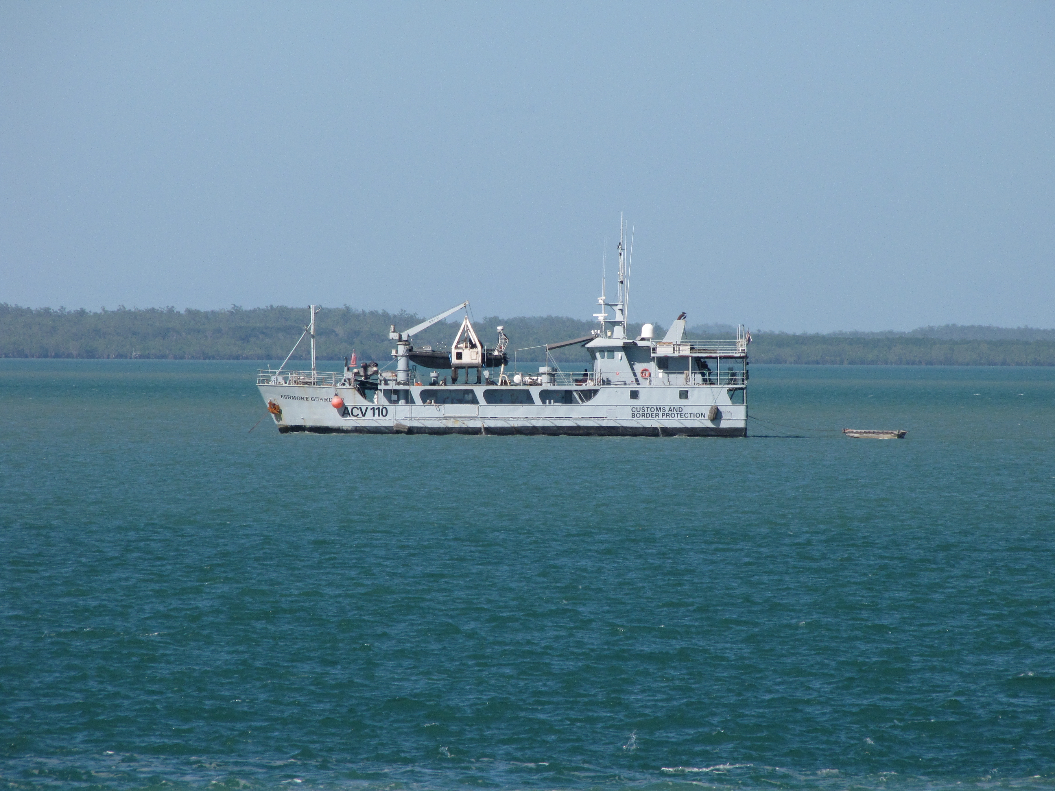
Geography has made these islands a geopolitical boundary marker. Positioned in the strait between Indonesia and Australia, they sit along one of the most watched maritime corridors in the region. Indonesian fishermen from Roti and the eastern islands have traditionally fished these waters, arriving in small boats and speaking Rotinese and other local languages. After the islands became a first point of contact for boats carrying asylum seekers, the Australian government excised them from the migration zone in September 2001. For most of the year, the Australian Border Force vessel Thaiyak patrols nearby. The islands that Captain Nash first charted in 1800 -- he named Cartier Island after his ship -- and that were formally annexed by Britain in 1878 and 1909 have become, in their emptiness, a surprisingly contested space.
The Art of Arriving
Visiting Ashmore and Cartier Islands requires determination bordering on obsession. There is no airstrip. No ferry. No settlement. Only the east beach and the west corridor of West Island Lagoon at Ashmore are open to the public without a permit, and even there, visitors must arrive by boat and tie up to designated moorings in the lagoon. Anchoring near coral is prohibited, and the heavy-duty moorings are rated for 20-metre yachts in winds up to 15 metres per second. One or two commercial tours operate per year; most visitors come by private yacht. Cartier Island remains completely off-limits due to unexploded ordnance from its years as a bombing range. Collecting shells is forbidden. Campfires are banned. The well on the beach may be contaminated. You bring everything you need, or you do without. For scuba divers and snorkellers willing to accept these terms, the reward is a reef system of startling richness, virtually undisturbed by human presence.
Sovereignty Over Sand
The administrative history of these islands reads like a bureaucratic game of pass-the-parcel. A British order-in-council of 23 July 1931 placed them under Australian authority, and the Ashmore and Cartier Islands Acceptance Act 1933 took effect on 10 May 1934. The Governor of Western Australia was authorised to make ordinances. In 1938 the territory was annexed to the Northern Territory. When the Northern Territory gained self-government in 1978, Canberra kept Ashmore and Cartier for itself. Today these islands represent one of the more paradoxical patches of Australian sovereignty: too remote to inhabit, too ecologically precious to exploit, too strategically located to ignore. If you find yourself shipwrecked here, the nearest landfall is Roti, 144 kilometres to the north. Australia's northwest coast lies over 300 kilometres to the south. Mind the Timor Current -- it drives southwest.
From the Air
Located at 12.26S, 123.04E in the Timor Sea, roughly 320 km northwest of the Western Australian coast. From cruising altitude the reef systems appear as pale turquoise ovals against deep blue water. No airstrip exists. The nearest significant airports are Troughton Island (no ICAO) and Darwin (YPDN), approximately 840 km to the east. Indonesian airspace lies to the north. Best viewed from above 10,000 ft where the full extent of both reef systems becomes apparent.