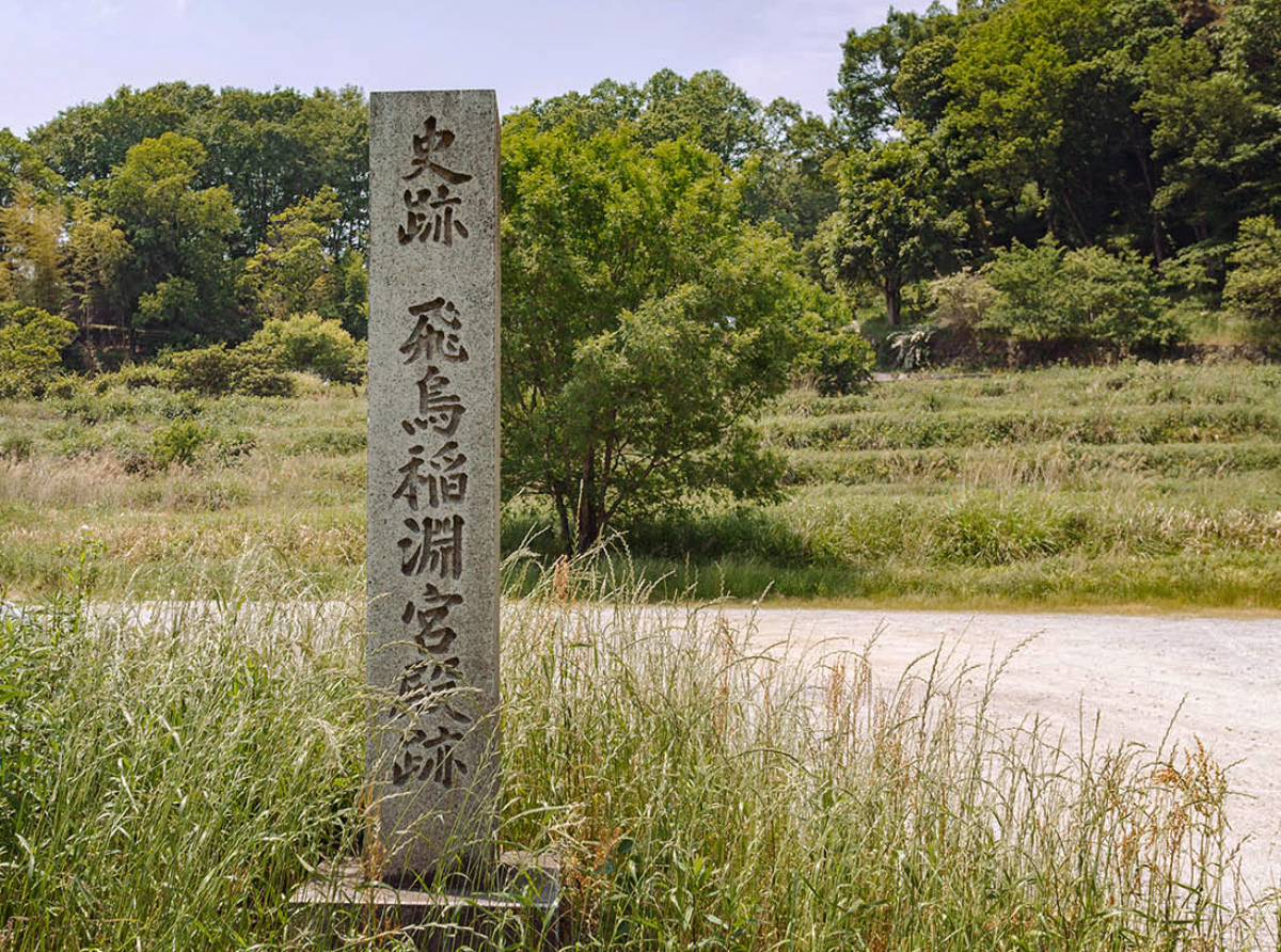
Asuka Inabuchi Palace Site: A Prince's Defiant Return
In 1976, workers digging a parking lot in the Iwaido area of the National Asuka Historical Park broke through the topsoil and into the seventh century. Beneath the rice paddies on the left bank of the Inabuchi River, about four hundred meters south of the massive Ishibutai Kofun burial mound, lay the stone-paved foundations of a meticulously planned palace complex -- a place no one knew existed. The discovery triggered excavations by the Nara National Research Institute for Cultural Properties in 1976 and 1977, revealing a U-shaped arrangement of buildings that covered roughly 170 meters north-to-south and 60 meters east-to-west. The site was designated a National Historic Site of Japan in 1979, with the protected area expanded in 1981. What the parking lot revealed was not just another ruin but a place entangled with one of the most dramatic political ruptures in seventh-century Japan.
Symmetry in Stone and Wood
The excavations revealed four post-hole foundation buildings arranged with striking symmetry: two oriented east-west and two oriented north-south, with stone paving laid between them. The central building, reconstructed from the post-hole evidence, would have been a substantial structure -- nine bays across (24.6 meters east-to-west) and four bays deep (10.2 meters north-to-south), with a four-hipped roof marking it as the main hall. To the north stood a rear hall of fourteen bays by four, and flanking the complex on east and west were long side halls stretching fifteen bays (26.4 meters) in length. The east-west symmetry was deliberate, the spacing between buildings precisely equal. No roof tiles were found anywhere on the site -- the buildings used wooden or thatched roofing -- and the stone paving between structures mirrors techniques found at Asuka Itabuki Palace and the Miyataki Site. The layout echoes the design of Ikaruga Palace. This was not improvised construction but the work of skilled planners building for someone of very high status.
A Prince Breaks with His Emperor
The prevailing theory among scholars links this palace to a specific and turbulent moment in Japanese history. In 653, during the reign of Emperor Kotoku, Prince Naka no Oe -- the powerful crown prince who would later become Emperor Tenchi -- left the capital at Naniwa-kyo (modern Osaka) and returned to the old heartland at Asuka. The Nihon Shoki, Japan's oldest official chronicle, records this move as a return to the "Asuka Kawabe no Karimiya," a temporary palace along the riverside at Asuka. Prince Naka no Oe's departure was no casual relocation -- it was a political statement that effectively emptied the Naniwa court of its power. Emperor Kotoku, left behind, reportedly died of grief the following year. The pottery and artifacts excavated from the Inabuchi site date to the mid-seventh century, consistent with this timeline, and the buildings were destroyed by fire at the end of the same century.
What the Paddies Preserved
The Inabuchi Palace Site owes its remarkable preservation to the very thing that concealed it for thirteen centuries: water. The flat rice paddies along the Inabuchi River, upstream of the Asuka River, kept the ground consistently saturated, protecting the stone paving and post-hole foundations from the erosion and disturbance that destroyed so many other Asuka-period sites. The waterlogged conditions that preserved the ruins also preserved the landscape's character -- the site today looks much as it did when the palace stood, a narrow valley floor between wooded hillsides, the river running nearby, the great stone chamber of Ishibutai Kofun visible just four hundred meters to the north. The parking lot that triggered the discovery was part of the National Asuka Historical Park, and the irony is fitting: a modern convenience project revealed a place where convenience played no role, where buildings were constructed with the precision and ambition of a court that believed it was building for eternity.
From the Air
Located at 34.46N, 135.82E in the Inabuchi neighborhood of Asuka village, Nara Prefecture. The site occupies flat paddy land on the left bank of the Inabuchi River, about 400 meters south of the distinctively exposed Ishibutai Kofun burial mound, which serves as a reliable visual landmark from the air. Best viewed at 2,000-4,000 feet AGL. The surrounding Asuka valley is flanked by wooded hills, with the Yamato Sanzan peaks visible to the north. Kansai International Airport (RJBB) lies approximately 40 nautical miles west-southwest. Osaka Itami Airport (RJOO) is about 30 nautical miles northwest.