Atacama Desert
Some weather stations in the Atacama Desert have never recorded a single drop of rain. Evidence suggests that parts of this 1,600-kilometer strip of Chilean coast received no significant rainfall between 1570 and 1971 -- four centuries of silence from the sky. Evaporite formations in certain sections indicate that arid conditions have persisted here for 200 million years, since the Triassic, making the Atacama not merely a desert but one of the oldest continuously dry landscapes on the planet. NASA chose it to test Mars rover technology because, in terms of soil chemistry and microbial scarcity, the Atacama is the closest thing to another planet that Earth has to offer.
Trapped Between Two Walls
The Atacama's extreme aridity is a product of geography conspiring on every front. To the west, the cold Humboldt Current flows north along the Chilean coast, chilling the air above it and creating a persistent temperature inversion that suppresses rainfall. The South Pacific High, a powerful anticyclone, reinforces this pattern by driving dry air downward over the coast. To the east, the Andes rise high enough to block moisture from the Atlantic and the Amazon Basin. Between these two barriers sits the Chilean Coast Range, creating a second rain shadow. The result is a double-sealed corridor where moisture from neither ocean can reach. Rather than the searing heat of the Sahara, the Atacama's defining feature is its cold mildness -- temperatures rarely plunge to freezing or climb to uncomfortable warmth, but the air is bone dry.
200 Million Years of Thirst
The Atacama is ancient in its dryness. Aridity here predates the rise of the Andes, though the mountain chain's uplift intensified the condition into hyper-aridity. British scientists have determined that some river beds have been dry for 120,000 years. Mountains exceeding 6,000 meters stand completely free of glaciers because the air is too dry for snow to accumulate -- only the very highest peaks like Ojos del Salado retain patches of permanent snow. The southern desert between 25 and 27 degrees south latitude may have been glacier-free throughout the entire Quaternary period, including during ice ages when glaciers covered much of the world's mountains. Permafrost extends down to 4,400 meters and is continuous above 5,600 meters, but it forms not from precipitation but from the deep cold of altitude.
The Camanchaca and the Blooming Desert
Life finds its way in, barely. A marine fog called the camanchaca rolls inland from the Pacific, providing just enough moisture for hypolithic algae sheltering beneath translucent stones, for lichens gripping rock faces, and for the hardy Copiapoa cacti that have adapted to harvest moisture from the air itself. On rare occasions, perhaps once or twice a decade, El Nino-driven rainfall reaches the Atacama and triggers the desierto florido -- the flowering desert. Dormant seeds that have waited years in the soil explode into carpets of pink, purple, and white wildflowers across landscapes that normally show nothing but brown rock and pale salt. In 2015, historic rainfall produced one of the most spectacular blooms in recent memory, turning the driest desert on Earth briefly and improbably into a garden.
A Window to Mars -- and to Earth's Beginnings
The Atacama's resemblance to Mars runs deeper than scenery. In 2003, NASA researchers found that soils near the abandoned Yungay mining town contain so little organic material and are so hostile to microbial life that they mirror Martian surface conditions. Scientists from the University of Antofagasta maintain a Desert Research Station there, and robotic rovers have been tested in the terrain to prepare for planetary missions. In December 2023, scientists reported discovering an area in the Puna de Atacama that may resemble conditions on Earth during the Archean eon, roughly 4 billion years ago, when the first life forms emerged. The implications cut both ways: if the Atacama teaches us where life's limits are on Earth, it also teaches us where to look -- and what to look for -- on other worlds.
Copper, Lithium, and Starlight
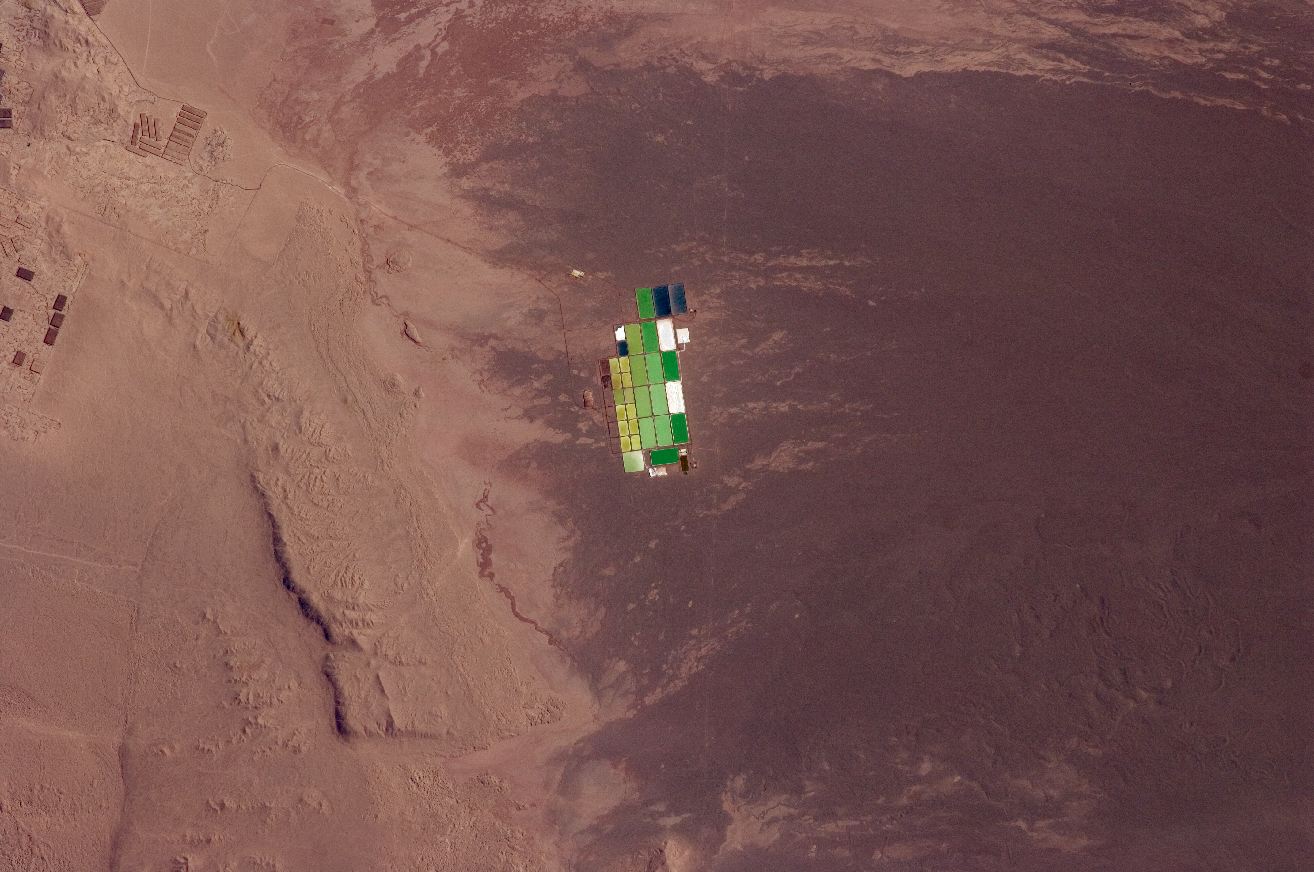
Humans have found reasons to come to the Atacama despite its hostility. Nitrate mining boomed in the 19th century, fueling wars between Chile, Bolivia, and Peru for control of the deposits. Today, copper and lithium extraction drive the regional economy. The same atmospheric clarity that starves the land of rain makes it one of the finest astronomical sites on Earth. The European Southern Observatory operates its Very Large Telescope at Paranal, the Extremely Large Telescope is rising on Cerro Armazones, and the ALMA radio array listens to the universe from the Chajnantor plateau at 5,000 meters. The Atacama stretches roughly 105,000 square kilometers from near Arica in the north to La Serena in the south, an area that increases to 128,000 square kilometers when the barren lower slopes of the Andes are included. It is a landscape that makes absence its defining presence.
From the Air
The Atacama Desert extends along Chile's northern coast from roughly 18°S to 30°S, centered near 24.5°S, 69.25°W. From cruising altitude, the terrain appears as a vast brown plateau between the Andes to the east and the Chilean Coast Range along the Pacific. Salt flats (salares) gleam white across the landscape. Major airports include Andrés Sabella (SCFA/ANF) at Antofagasta and El Loa (SCCF/CJC) at Calama. The Paranal and ALMA observatory complexes are visible as distinct structures in the barren terrain. Consistently clear skies with virtually no cloud cover.