August Complex Fire
Thirty-eight fires burning at once. That was what the thunderstorms of August 16-17, 2020, left behind as they rolled across Northern California's Coast Range, remnants of Tropical Storm Fausto carrying lightning into the dry forests of Glenn, Mendocino, and Tehama counties. Within weeks, these scattered blazes would merge into something unprecedented: the August Complex, California's first recorded gigafire, a conflagration that would eventually consume more than one million acres and rewrite the state's history of wildfire.
Lightning's Children
The Doe Fire started first, igniting north of Willows in Glenn County. By 5:00 pm on August 17, it had already grown to significant size, and firefighters scrambled to respond. But they were facing a hydra. The Rockwell Fire. The Pine Kop Fire. The Box Fire in the Snow Mountain Wilderness. The Tatham, Glade, and Hull fires. Each day brought new ignitions as thunderstorm activity persisted. By August 24, the Forest Service had counted 37 separate fires and made a fateful decision: manage them as one incident, the August Complex. It was already clear that individual containment was impossible. The fires were eating into each other, merging and growing, consuming the rugged terrain of the Mendocino National Forest with terrifying speed.
A Monster Awakens
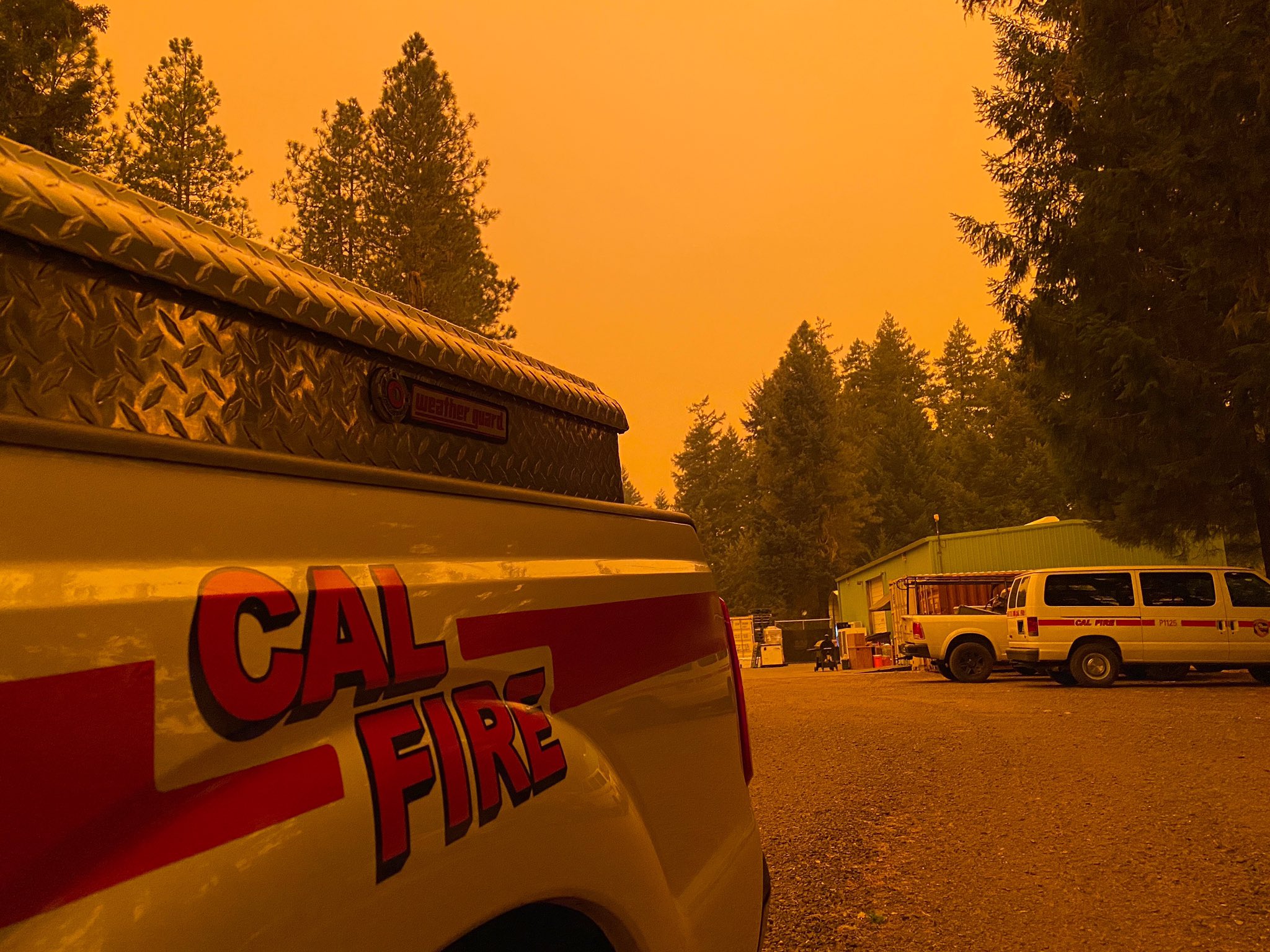
September brought Diablo winds, that notorious California phenomenon where hot, dry air blasts westward from the interior. The fires exploded. On September 9, the August Complex surpassed the 2018 Mendocino Complex to become both the largest single wildfire and largest fire complex in recorded California history. The next day, it absorbed the Elkhorn Fire, creating a burn scar so vast that the Forest Service divided it into North, South, and West zones, each requiring its own incident management team. The fire jumped the Black Butte River, crossed into the Yuki Wilderness, leaped the canyons of the Mad River and North Fork Eel River. Communities from Elk Creek to Alderpoint faced evacuation orders. Smoke turned the sky orange as far south as Willits.
The Fight on the Ground
More than 2,900 firefighters deployed against the August Complex through mid-September. They constructed containment lines along ridges and river canyons, conducted backburns to deprive the fire of fuel, and worked to save homes around Ruth Lake and Lake Pillsbury. A heat wave combined with thick smoke hampered aircraft operations for days. The California National Guard joined the effort. On September 1, tragedy struck when a firefighter died in a vehicle accident; another was seriously injured. By October 5, when the fire crossed one million acres to become California's first modern gigafire, containment stood at just 54 percent. La Nina conditions had delayed the rainy season, extending the fight deep into autumn.
Scars Across Six Counties
The August Complex burned through parts of Glenn, Lake, Mendocino, Tehama, Trinity, and Shasta counties, scarring three national forests: Mendocino, Shasta-Trinity, and Six Rivers. The Yolla Bolly-Middle Eel Wilderness and Yuki Wilderness sustained heavy damage. Thirty-five structures were destroyed, and the fire left potential contamination in ground and surface water across Trinity County. On November 12, 2020, after nearly three months of continuous firefighting, the Forest Service announced 100% containment. The incident management teams disbanded, but the landscape they left behind had been fundamentally transformed.
Legacy of Flame
The August Complex forced California to reckon with a new vocabulary. Gigafire. A million acres. These were terms that belonged to history books and other continents, not the Golden State. Yet the conditions that created this monster, the combination of drought, heat waves, Diablo winds, and a lightning siege, were becoming less exceptional with each passing fire season. The complex remains a watershed moment, proof that California's fire problem had scaled beyond anything previous generations had experienced. The charred wilderness of the Coast Range stands as both a wound and a warning.
From the Air
The August Complex burn scar stretches across approximately 39.77N, 122.67W, covering terrain from the Mendocino National Forest northward into the Shasta-Trinity and Six Rivers National Forests. From altitude, the fire's footprint is visible as a massive irregular patch spanning parts of six counties. Key landmarks include Lake Pillsbury to the south, Ruth Lake to the north, and the Coast Range ridgelines throughout. Nearby airports include Red Bluff Municipal (KRBL) to the east and Ukiah Municipal (KUKI) to the southwest. The terrain is extremely rugged with deep canyons and limited visibility in morning fog conditions.