Bad River Band of the Lake Superior Tribe of Chippewa Indians
Every August, canoes glide through the sloughs along Lake Superior's south shore as Ojibwe people from across the continent gather for the manoomin harvest. Wild rice -- manoomin, the good berry -- is not merely a crop here. It is the reason this place exists. Centuries ago, the Anishinaabe followed a prophetic migration from the Atlantic coast, told to travel west until they found food that grows on water. They found it in the marshes near Chequamegon Bay, in the shallow waters where the Bad River empties into Lake Superior. The band that settled these wetlands became the Bad River LaPointe Band of the Lake Superior Tribe of Chippewa Indians, and the wild rice marshes they protect today are the only remaining extensive coastal wild rice ecosystem in the entire Great Lakes region.
Madeline Island and the Fur Trade
The story of the Bad River Band begins on Madeline Island, considered the spiritual center of the Ojibwe Nation. After the 17th century, Anishinaabe people settled throughout northern Wisconsin, moving into lands long disputed with the Dakota Sioux and the Meskwaki. Those who stayed near the trading post of La Pointe on Madeline Island became known collectively as the La Pointe Band. They traded furs with French-Canadian settlers while maintaining seasonal rhythms: men fished, harvested rice, and hunted, while women picked berries, tapped maple sugar, and gathered medicinal plants. This was not subsistence living but a complex, calendar-driven economy tuned to the resources of forest, lake, and marsh. The fur trade brought European goods and influence, but the Ojibwe integrated these on their own terms, maintaining cultural and political autonomy even as the world around them shifted.
A Band Divided by Faith
The 19th century brought catastrophe. The federal government attempted to remove the Lake Superior Bands from Wisconsin, a policy that culminated in the Sandy Lake Tragedy, when hundreds of Ojibwe summoned to a distant Minnesota agency were left stranded through winter without adequate provisions. Many died. The national outrage that followed forced Washington to reverse course and establish permanent reservations in Wisconsin. At this crossroads, the La Pointe Band split along spiritual lines. Members who had converted to Roman Catholicism followed Chief Kechewaishke (Chief Buffalo) to a new reservation at Red Cliff. Those who maintained the traditional Midewiwin spiritual practice settled inland along the Bad River. The Treaty of La Pointe, signed on Madeline Island on September 30, 1854, formalized the reservation. Despite their separation, the Bad River and Red Cliff bands have maintained close relations ever since.
Timber, Schools, and Lost Land
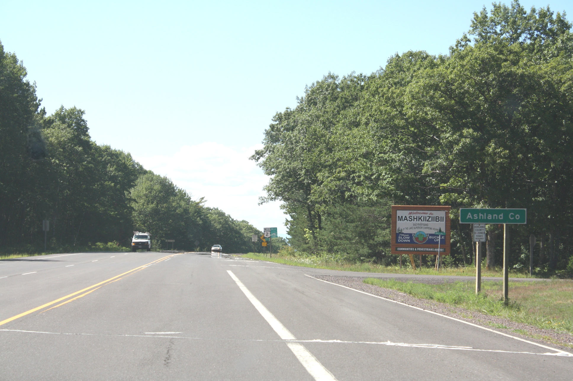
The reservation's original boundaries encompassed all of what is now Ashland, Wisconsin. That territory shrank dramatically. During the Allotment era, the tribe leased nearly half its land base. Timber companies leased reservation forests for logging, then cheated the tribe on fees and stripped the land bare through overlogging. In the village of Odanah, the Franciscan Sisters of Perpetual Adoration established St. Mary's School, an Indian boarding school where children from multiple tribes were taught English, Western subjects, and Christianity. By 2010, less than 50 percent of reservation land remained tribally owned. The story is painfully familiar across Indian Country -- a pattern of promises made, resources extracted, and sovereignty eroded through legal mechanisms designed to look like fair dealing.
Spearfishing Wars and Railroad Blockades
The Bad River Band spent the 20th century fighting to reclaim what treaties had guaranteed. As Lake Superior Ojibwe, the band retains hunting, fishing, and gathering rights across ceded territory in northern Wisconsin, Michigan, and Minnesota. When tribal members resumed traditional spearfishing in the 1980s, they ignited the Wisconsin Walleye War -- a bitter confrontation with recreational anglers that tested treaty rights in federal court. The band won. Then in 1996, Ojibwe activists known as the Anishinaabe Ogitchida blockaded a railroad carrying sulfuric acid across the reservation, destined for a Michigan copper mine. The protesters argued the acid threatened the Lake Superior watershed. National attention forced the Environmental Protection Agency to halt the mine's acid use. Today, the tribe operates a fish hatchery that stocks 15 million walleye annually into local waters, and the headquarters of the Great Lakes Indian Fish and Wildlife Commission sits on the reservation.
Guardians of the Rice Marsh
The Bad River Reservation stretches along Lake Superior's south shore, a landscape of dense forest, scattered lakes, and the vast wetland complex where wild rice still thrives. It is the largest Ojibwe reservation in Wisconsin and the second-largest Indian reservation in the state, after the Menominee. The reservation includes a portion of Madeline Island's eastern tip -- maintaining the band's connection to the spiritual heart of the Ojibwe Nation. About 1,545 people live on the reservation, most in the communities of Odanah, Diaperville, Birch Hill, or Franks Field. The most recent threat to this landscape is the Enbridge Line 5 pipeline, which the tribe's Mashkiiziibii Natural Resources Department has actively opposed. For the Bad River Band, protecting the wetlands is not just environmental policy. It is the continuation of a promise fulfilled centuries ago, when the Anishinaabe found the food that grows on water and decided to stay.
From the Air
Located at 46.531N, 90.675W on the south shore of Lake Superior in northern Wisconsin. The reservation is nearly entirely forested with extensive wetlands visible from altitude, especially the wild rice marshes along the Bad River delta where it enters Lake Superior. Chequamegon Bay and Madeline Island (part of the Apostle Islands) are visible to the north. The nearest significant airport is John F. Kennedy Memorial Airport (ASX/KASX) in Ashland, Wisconsin, approximately 10 nm east. Duluth (KDLL) lies roughly 80 nm west. Best viewed from 3,000-6,000 feet to appreciate the contrast between the dark forested reservation and the open waters of Lake Superior. The wetland complex at the river mouth is particularly distinctive from the air.