.JPG)
Ban Nahin
Ask for Ban Nahin and the driver may look blank. The green signs along Route 8 say Ban Khoun Kham. Older guidebooks say Na Hin. Your map may say something else again, and all of them mean the same double row of guesthouses and noodle shops set a hundred metres back from the highway, in a valley walled in by limestone. About three thousand people live here. None of them are confused about which village they are in.
One Village, Three Names
Ban Nahin (ບ້ານນາຫິນ) is small enough that the naming problem is the first thing a traveller has to solve and the last thing that matters. The whole settlement runs parallel to Route 8 for a few hundred metres, close enough that you can hear the trucks from any guesthouse porch and far enough that you do not have to sleep beside them. Everything is walkable. The tourist centre sits on the main road about a hundred metres west of the junction, and it is where information about trekking in the surrounding hills actually lives, rather than online. Ban Khoun Kham is the name the signposts use, so that is the name to watch for from a moving songthaew.
The Road That Runs to Two Countries
Route 8 is not a local lane. Along this stretch it carries Asian Highway 15, a 566-kilometre corridor that begins at Hong Linh in Vietnam, crosses the Annamite watershed at Cau Treo, enters Laos at Nam Phao and runs west past Ban Nahin to the junction village of Vieng Kham. From there it turns south on Route 13 to Thakhek and crosses the Mekong on the Third Thai-Lao Friendship Bridge to Nakhon Phanom, ending eventually at Udon Thani. Lak Sao lies sixty kilometres east, up a paved road of relentless hairpins that takes more than an hour to drive. Vieng Kham is forty kilometres west, about forty-five minutes, and songthaews run it constantly for a fixed fare. Ban Nahin is a comma in a very long sentence.
The Viewpoint Five Kilometres West
Five kilometres west of the village, Route 8 climbs and then simply opens. Limestone towers stack away into the haze, one ridge behind another, and at the end of the day the low sun rakes across them and turns the grey rock warm. There is no ticket, no railing, no interpretive panel. People pull their motorbikes onto the verge and sit. Closer to the village, a three-kilometre walk through jungle reaches Tad Namsanam waterfall, which is the kind of destination that rewards going early, before the heat settles into the valley floor and the cicadas take over.
The Loop
Most foreign visitors arrive on two wheels. The Thakhek Loop is a multi-day motorbike circuit out of the provincial capital, and Ban Nahin is one of its standard overnight stops, which is why a village of three thousand supports dozens of guesthouses. Bikes can be rented in the village, though the fleet skews toward older Chinese machines at fifty to eighty thousand kip a day, and the rates a guesthouse quotes depend on how many days and how many riders you are splitting between. The competition is fiercer back in Thakhek, and the machines are generally better there. Rent early, ride here, and use the village as a base rather than a rental counter.
What the Village Is For
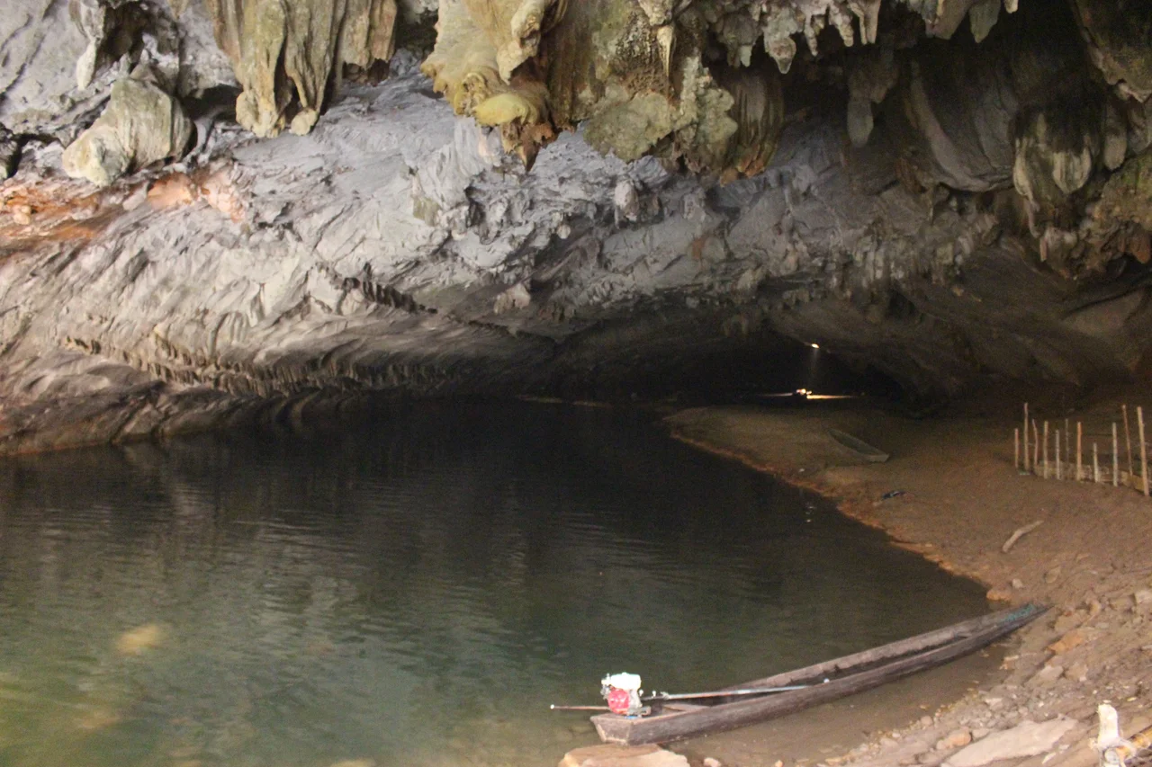
Ban Nahin is a staging post for the Konglor cave, fifty kilometres away, where the Nam Hin Bun river vanishes into a mountain. A public minibus leaves in the afternoon and returns mid-morning the next day, which shapes almost every itinerary that passes through. The single daily songthaew out to Thakhek pulls away at half past eight and takes about four hours. In between, the market sells fish, fruit and vegetables, the restaurants run to Lao staples with a few concessions to Western appetites, and the drinking options amount to Beerlao at whichever guesthouse you are staying in. It is worth remembering that Lao families come here on holiday too. The village is not a foreigners' waystation that locals tolerate; it is a domestic destination that foreigners happen to have found.
From the Air
Ban Nahin sits at 18.24N, 104.21E in northern Khammouane Province, central Laos, on Route 8 (Asian Highway 15). The village occupies a narrow valley floor surrounded by limestone tower karst that rises abruptly on all sides, making the settlement itself hard to spot but the terrain unmistakable. Best viewed from 6,000-9,000 ft AGL, where the karst towers cast the long shadows that reveal their relief; from higher cruise levels the valley reads as a green slot in a field of grey pinnacles. Route 8 is the clearest navigational feature, running roughly east-west and threading between the massifs toward the Vietnamese border at Nam Phao. Nearest airports: Thakhek (VLTK) about 120 km south, Nakhon Phanom, Thailand (VTUW) across the Mekong, Vinh, Vietnam (VVVH) to the northeast, and Vientiane Wattay (VLVT) to the northwest. Visibility drops sharply during the May-October monsoon, when valley fog and low cloud can hide the karst entirely; the clearest air comes in the cool dry season from November to February.
Nearby Stories
- Phou Hin Poun National Biodiversity Conservation Area 21 km away
- Ho Chi Minh Trail 27 km away
- Northern Annamites rain forests 33 km away
- Songkhram River 39 km away
- Ban Chiang 57 km away
- Pù Mát National Park 74 km away
- Vientiane 117 km away
- Kingdom of Luang Phrabang 230 km away