Barbuda
In September 2017, Hurricane Irma destroyed more than ninety percent of the buildings on Barbuda and the entire population was evacuated to Antigua, thirty miles to the south. For the first time in over three hundred years, no one lived on the island. Before Irma, Barbuda had about 1,634 residents. Nearly all of them -- 98.5 percent -- lived on land they owned communally, a system rooted in a peculiar accident of colonial history: the entire island had been covered by a single land grant to the Codrington family, so when slavery was abolished, the Barbudans had no individual plots to inherit. They kept the land together instead, and they have been fighting to keep it that way ever since.
Before the Codringtons
People have lived on Barbuda for at least five thousand years. The first settlers -- sometimes called Archaic Age people, sometimes Ciboney, though scholars debate the name -- arrived around 3000 BC, leaving behind cutting blades carved from gastropod shells and tools fashioned from conch and whelk. At Boiling Rocks near Spanish Point, human remains have been carbon-dated to 3,100 years ago. The Arawak followed, cultivating sweet potatoes, corn, peanuts, cotton, and tobacco, and creating pottery found at sites like Indian Town Trail and Sufferers. Their population peaked between 800 and 1,500 years ago. The Kalinago came after them. By the time Europeans arrived, Barbuda had a name in the indigenous language -- thought to mean "Island of Herons," though it may have referred to the frigate birds that still nest by the thousands in Codrington Lagoon, one of the largest frigate bird colonies in the world.
The Codrington Century
Christopher Columbus sailed through the eastern Caribbean in 1493 but may never have sighted Barbuda. English colonists attempted settlement from St. Kitts in the 1620s, and by 1666 the village of Codrington had become the primary settlement. The Codrington family held the island as absentee landlords from 1685 to 1870, running it through resident managers. It was not a gentle arrangement. Enslaved people on Barbuda were mutilated as punishment for stealing sheep and cattle. At least once, they rose up, seizing the Codringtons' castle and its arms and ammunition. The rebellion was crushed, and people were burned alive at the castle's main gate. When emancipation came, the single-grant structure of Codrington ownership left no individual land parcels to divide. The formerly enslaved Barbudans continued cultivating the island communally -- a practice born of one family's total claim over the land and the people on it, transformed by the people themselves into something resembling collective ownership.
Sixty-Two Square Miles of Coral and Scrub
Barbuda is flat. The Barbuda Highlands, on the eastern side, reach a modest 125 feet at their highest point. The western half of the island is dominated by Codrington Lagoon, where the Magnificent Frigate Bird Sanctuary draws the birds that have become one of Barbuda's primary symbols -- and tourist attractions. Few predators exist in the lagoon, making it the most crucial breeding site worldwide for these threatened seabirds. Inland, the terrain is coral limestone, salty ponds, and scrubland, with little topographical diversity. At Darby Cave, a sinkhole three and a half miles northeast of Codrington drops seventy feet into a pocket of palms, ferns, and lianas that resembles a miniature rainforest. Indian Cave holds petroglyphs carved by the Arawak or their predecessors. Off the coast, hundreds of shipwrecks from centuries of French, Spanish, and British conflict lie on the reefs that encircle the island -- a flat, hard-to-see landmass that has been wrecking ships since European navies began fighting over these waters.
Irma
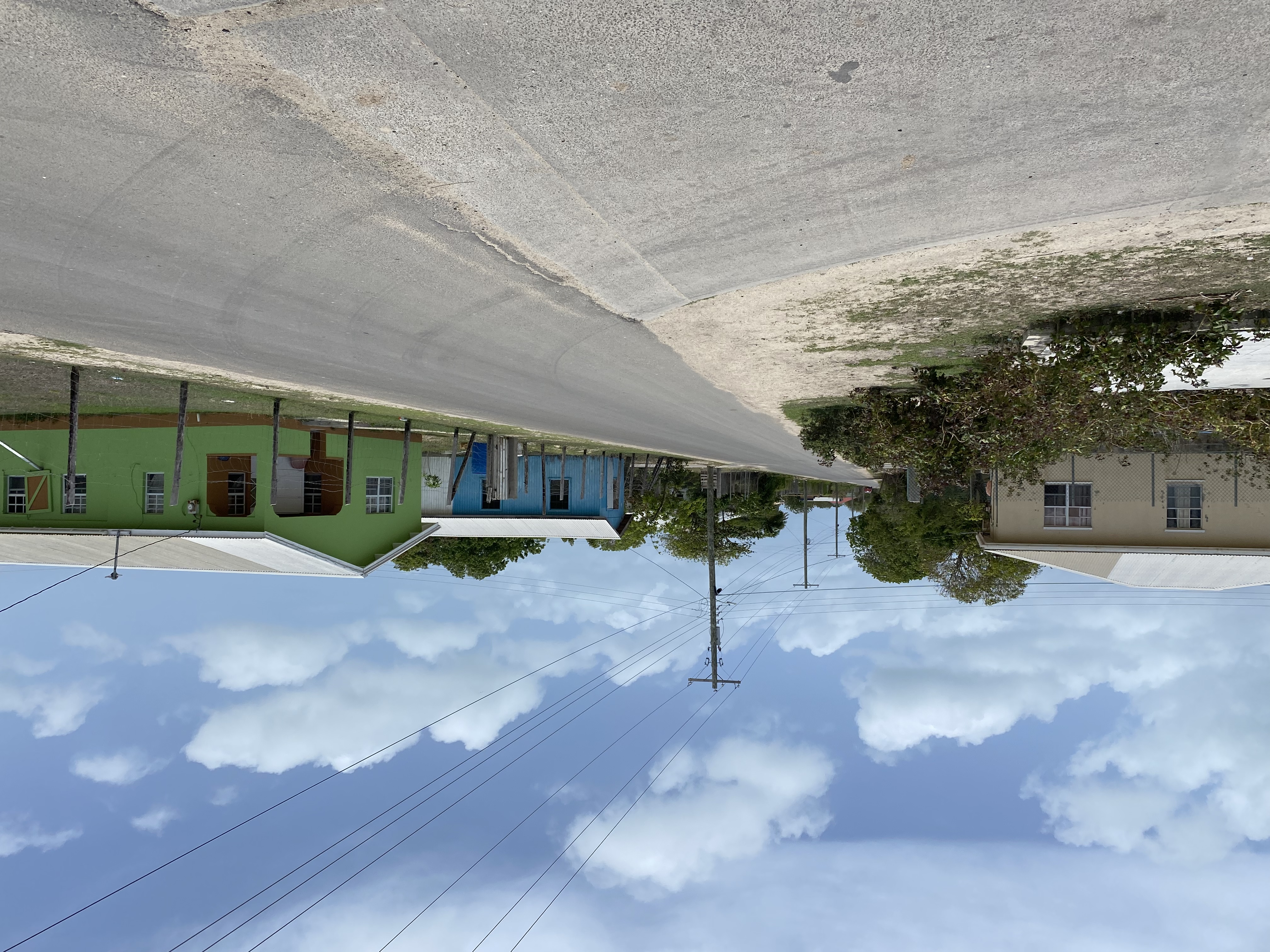
Hurricane Irma hit Barbuda on 6 September 2017 as a Category 5 storm. It destroyed more than ninety percent of the island's buildings. The central government evacuated the entire population to Antigua -- 1,634 people leaving an island their ancestors had occupied continuously for over three centuries. For months, Barbuda was empty. NASA satellite imagery captured the transformation: a green island on 27 August became a brown one by 12 September, its vegetation stripped by winds that had peaked at 185 miles per hour. By February 2019, most residents had returned, and the population has since grown larger than it was before the hurricane, now estimated at 2,233 as of March 2025. But the storm exposed a deeper vulnerability. Barbuda's communal land system, enshrined in the Barbuda Local Government Act and later in the 1981 constitution, has faced pressure from development interests seeking to build luxury resorts. For Barbudans, the fight to rebuild after Irma has been inseparable from the fight to preserve the land system that defines their community.
The Land They Share
Today, 98.5 percent of Barbudan homes sit on communally owned or freeheld land. The Barbuda Council, an eleven-member body with nine directly elected members and two representatives from the national parliament, governs the island's affairs from Codrington. The economy runs on government employment and tourism, with a significant lobster fishery providing most exports. Barbudans fish for kingfish, mahi mahi, tuna, and barracuda using low-impact techniques developed over generations, selling their catch to hotels throughout the season. The Barbuda Turf Club holds horse races on Sunday afternoons, typically four races with two or three horses each. European fallow deer, introduced centuries ago, roam the island as an important local symbol. Life on Barbuda moves at a pace that the tourism industry markets as "island time," but the Barbudans' relationship with their land is anything but casual. The communal ownership system has survived the Codrington family, the British Empire, independence, and a hurricane that flattened everything on the island except the principle that the land belongs to everyone who lives on it.
From the Air
Barbuda is located at approximately 17.64N, 61.81W, about 30 miles north of Antigua in the eastern Caribbean. The island is 62 square miles of flat coral limestone, clearly visible from cruising altitude as a distinct landmass. Key visual features include Codrington Lagoon on the western side, the elevated Barbuda Highlands to the east, and the extensive reef system surrounding the island. Burton-Nibbs International Airport (TAPH) serves the island. Nearest major airport: V.C. Bird International Airport (TAPA/ANU) on Antigua, approximately 30 nm to the south. From 5,000-10,000 feet AGL, the contrast between the lagoon, the settlement of Codrington, and the scrubland interior is clearly visible. Pink Sand Beach runs along the southwestern shore.