Barlovento, Venezuela
Every June 24, the drums start before dawn. In Curiepe, in Higuerote, in villages scattered across the coastal lowlands east of Caracas, the mina and curbata drums set the pulse for the feast of San Juan - a celebration that has outlasted the objections of colonial bishops and the oppression that brought the drummers' ancestors to these shores in the first place. Barlovento, whose Spanish name means "windward," is a sub-region of Miranda state where the cultures of West Africa and colonial Spain collided centuries ago and produced something neither could have created alone.
The Cacao and the Cost
Between 1576 and 1810, approximately 100,000 African people were forcibly brought to Venezuela through the slave trade. In Barlovento, enslaved people from the Kingdom of Kongo, the Kingdom of Loango, and the Yoruba lands were forced to work on cacao haciendas - roughly 4,000 of them spread across the region's 4,647 square kilometers. The labor was brutal, the conditions deadly. Some who escaped built hidden communities called cumbes deep in the Barlovento depression, out of reach of plantation owners. By 1924, the Barlovento and Paria regions were producing eighty percent of Venezuela's 20,000-ton annual cacao export. The wealth that built Caracas was extracted, in no small part, from this windward plain and the people who were given no choice in working it.
Where Saints Wear African Masks
What emerged from centuries of forced coexistence was not simple blending but syncretism - the layering of African spiritual traditions onto Catholic frameworks in ways that kept both alive. Catholic saints came to represent traditional African deities, and the feast of San Juan became the vehicle for Afro-Venezuelan celebration, complete with the drum dancing that defines Barlovento's cultural identity. When Bishop Mariano Marti visited in 1784 and denounced these "ridiculous and earthly diversions," the festivals only grew more popular. The Entierro de la Sardina and Day of the Dead celebrations carry similar dual inheritances. In Barlovento, sacred and secular, African and European, are not opposites but dance partners.
Mountains to Mangroves
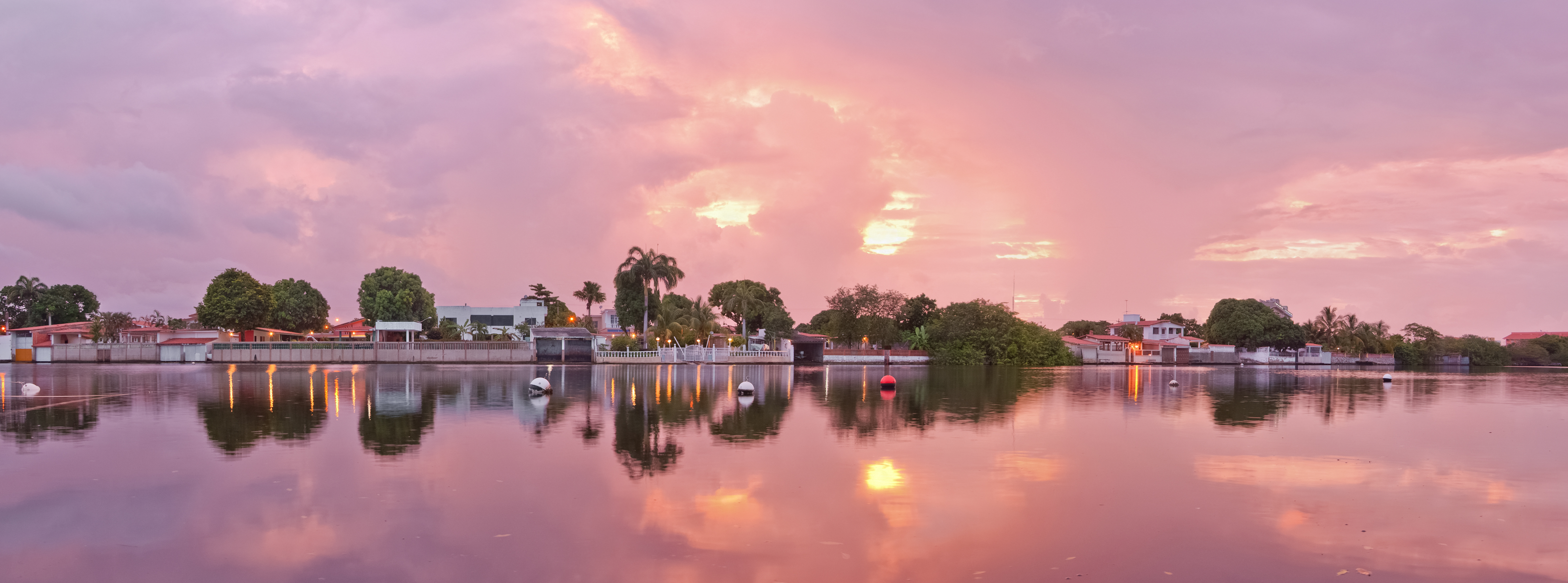
The landscape itself is as layered as the culture. Barlovento covers 58 percent of Miranda state, stretching from the mountains of Caucagua to the beaches of Higuerote and Rio Chico. The Barlovento depression, a broad plain formed by river sediment from the Serrania del Interior, holds grottoes and caverns among its mountain slopes - including La Tapa de Cambrai near Birongo, discovered by a poacher in 1934 and explored by the Venezuelan Society of Natural Sciences in 1952. Many rivers cross the plain, and the northern limestone deposits testify to millennia of geological patience. The region was once called the "Granary of Caracas" for its agricultural output: cacao, beans, plantains, and the raw materials for dishes like Cafunga, a banana muffin of African origin made with cassava, coconut, papelon, and anise.
Carved from Wood and Memory
Along the roadsides of Barlovento, artisans sell sculptures and carvings made from balsa wood, local hardwoods, and coconut shells. In Yagura, roadside kiosks display balsa replicas of aircraft and military helicopters. In Gamelotal, sculptor Adam Expedito Lopez carves pylons, portraits of Bolivar, and coconut-shell faces of caciques. In Higuerote, woodworkers shape the birds of the region's canals and lagoons - coro-coras and herons rendered in local timber. Most importantly, in Curiepe, artisans craft the drums themselves: the curbata, the mina, the culepuya in its three varieties of prima, cruzao, and pujao. These are not souvenirs. They are the instruments through which Barlovento's history speaks, every year on June 24 and on the many days between.
From the Air
Located at 10.43N, 66.77W along Venezuela's central Caribbean coast, east of Caracas. From altitude, the Barlovento depression appears as a broad green lowland between the Serrania del Interior mountains to the south and the Caribbean coastline to the north. Coastal towns like Higuerote and Rio Chico are visible along the shore. Nearest major airport is Simon Bolivar International Airport (SVMI/CCS) at Maiquetia, about 100 km to the west. The Gran Mariscal de Ayacucho highway connects the region to Caracas.