Barrow Creek, Northern Territory
The pub at Barrow Creek was built in 1926 and still has its original bar, underground cellar, and tin ceilings. On the kitchen wall, drawn by the cartoonist Alex Gurney when he passed through during World War II, is a cartoon of Bluey and Curley — two iconic Australian comic characters. The publican probably wasn't the first person to notice the strange density of history pressed into this stretch of red dirt. Population: eleven.
The Wire That Crossed a Continent
John McDouall Stuart passed through in 1860, naming a local creek after John Henry Barrow, then Treasurer of South Australia. A decade later, the Overland Telegraph Line was strung across Australia from Adelaide to Darwin, and Barrow Creek was chosen as a morse repeater station — one of a chain of isolated outposts that kept the signal alive across the continent. The station opened on 16 August 1872. For the Kaytetye Aboriginal people, whose traditional country this had been for at least 40,000 years, the telegraph station was the latest in a series of European arrivals that would transform their world, rarely for the better. On 22 February 1874, a group of Kaytetye men attacked the station, killing linesman John Franks and mortally wounding stationmaster James Lawrence Stapleton. Police trooper Samuel Gason led reprisals over the following two months. Whether those killed had any connection to the attack was later doubted. "Well of course nobody ever knew," a visitor to the area noted in 1875.
1928: The Last Massacre
Barrow Creek became central to one of the darkest chapters in Australian frontier history. Mounted Constable William George Murray was stationed here in the 1920s, serving simultaneously as local police officer and Chief Protector of Aborigines — a combination that, in the context of the time, meant he was both the law and its primary enforcer against Aboriginal people. When dingo trapper Fred Brooks was killed on Coniston Station in August 1928, Murray led a series of punitive expeditions across the surrounding country, killing an estimated 70 Aboriginal people. He was called to Darwin to explain himself and was greeted as a hero. His explanation for taking no prisoners — "What use is a wounded black feller a hundred miles from civilisation?" — was accepted. He was exonerated. The Coniston massacre, as it became known, was the last officially sanctioned massacre of Indigenous Australians.
The Long Road Through
During World War II, Barrow Creek served as No. 5 Australian Personnel Staging Camp — the first overnight stop on the convoy route from Alice Springs north toward Birdum. Soldiers passed through. Petrol was rationed. The cartoonist Alex Gurney drew his cartoon on the pub kitchen wall. After the war, Barrow Creek settled back into its role as a roadhouse on the Stuart Highway, the thin black line connecting Adelaide to Darwin across 3,000 kilometres of outback. Water has always been the limiting factor: the problem was recognised in the 1870s, and plans were drawn up to relocate the telegraph station to a better-watered site 40 kilometres north. The plans were never executed. Barrow Creek stayed where it was, dry and stubborn.
The Falconio Case
In July 2001, a British backpacker named Peter Falconio was shot and killed 13 kilometres north of Barrow Creek on the Stuart Highway. His partner, Joanne Lees, escaped after being abducted. No body was ever found. Bradley John Murdoch was convicted of the murder in 2005. Falconio's remains have not been located. A reward of AU$500,000 remains unclaimed. The case drew international attention to this otherwise obscure stretch of highway, and for a time made the name Barrow Creek known around the world — not for its telegraph history, not for 1874 or 1928, but for a different kind of violence on the same road.
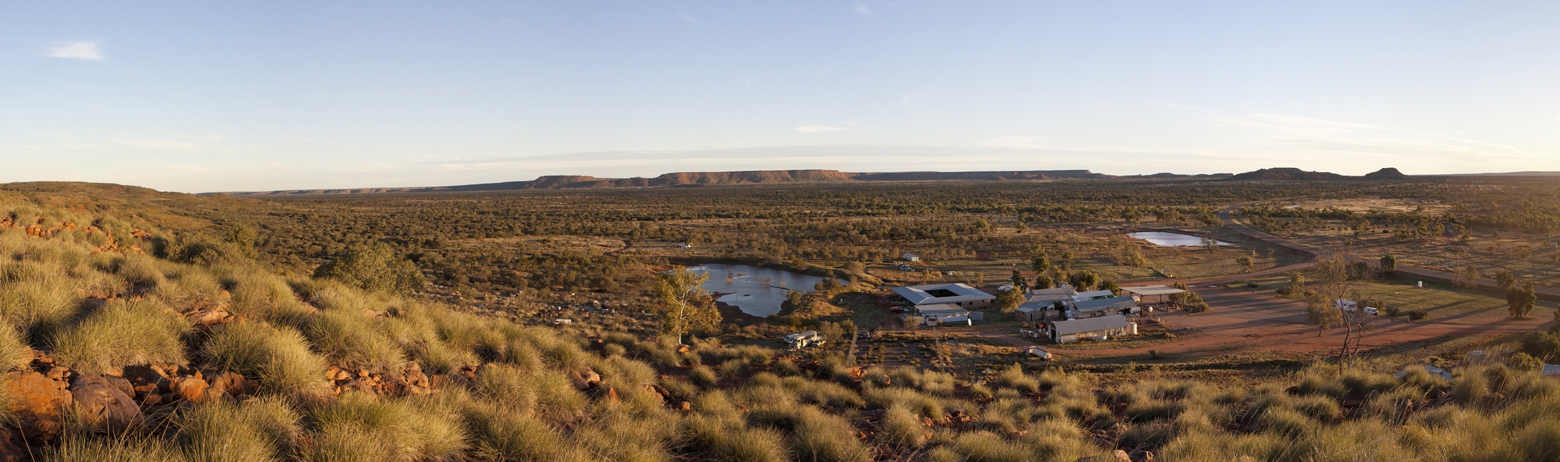
From the Air
Barrow Creek is located at approximately 21.53°S, 133.89°E on the Stuart Highway, roughly 280 km north of Alice Springs (YBAS) and midway to Tennant Creek. The township is identifiable from altitude as a small cluster of buildings on a straight stretch of highway cutting through flat, semi-arid mulga country. The airstrip at Barrow Creek is a basic dirt strip suitable for light aircraft. Tara Community lies 12 km to the northeast.