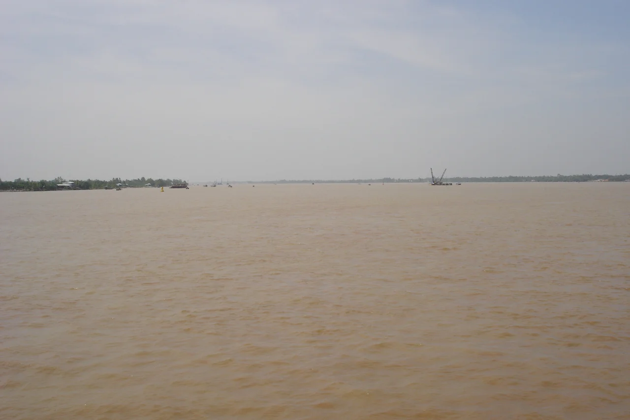

Bassac River
Ask three people along this river what it is called and you will get three answers. In Cambodia it is the Tonlé Bassac, a name assembled from the Khmer prefix pa - father, or male - joined to sak, meaning power or honour, a word Khmer took in turn from the Sanskrit shakti. Cross the border into Vietnam and the same water answers to Hậu Giang, the rear river, so called because it runs behind the Tiền, the front branch. Chart-makers and ship captains shorten all of it to the Bassac. It is one channel, roughly 190 kilometres long, moving the runoff of six countries toward the sea under three separate vocabularies.
Where the River Decides to Leave
The Bassac begins in the middle of a capital. At Phnom Penh, where the Tonlé Sap arrives to meet the Mekong, a portion of the combined flow declines to continue with the main stem and peels away southward on a course of its own. That is the whole birth of the river - no spring, no glacier, just a decision made by water in front of a city's riverside promenade. From there it runs south and slightly east, crossing into Vietnam near Châu Đốc and settling into the flat green geometry of the Mekong Delta. The delta's Vietnamese name, Đồng bằng Sông Cửu Long, promises nine dragons, nine mouths reaching the sea. The count is poetic rather than current: today the system carries its water to the coast through two major distributary channels, and the Bassac is the larger of the pair. It ends in Sóc Trăng, spilling into the sea across a bar of its own making.
A Corridor, Not a Border
For most of its length the Bassac behaves less like a boundary than like a highway that happens to be wet. Barges push upstream toward Phnom Penh and drop back down loaded; small craft cut across between banks; ferries such as the dock at Svay Tany, in Kandal Province's S'ang District, do the work that bridges elsewhere have taken over. The traffic is old and it is international, which is exactly why the river has attracted navies as well as merchants. During the Vietnam War the USS Satyr, a repair ship built for the United States Navy in the Second World War and pulled back into service two decades later, worked the Bassac keeping riverine craft running. A repair ship is an unglamorous assignment. On a river where everything depends on engines and shallow draft, it was also indispensable.
The Price of the Crossing
Four major bridges now span the Bassac - the Monivong and Takhmao bridges at Phnom Penh, and in Vietnam the crossings at Châu Đốc and Cần Thơ - with the cable-stayed Vàm Cống Bridge, 2.97 kilometres long with a 450-metre main span, opening to six lanes of traffic in May 2019 after Korean and Vietnamese funding and six years of work. The most consequential of them cost more than money. Construction of the Cần Thơ Bridge, with its 550-metre main span, began in September 2004. On the morning of 26 September 2007 a 90-metre approach ramp gave way and fell thirty metres onto the men working beneath and upon it. Fifty-four workers were killed and roughly eighty were badly hurt - the worst disaster in the history of Vietnamese construction. Investigators found that temporary support pillars had been founded partly on soft sand, settled unevenly, and tilted; the supports had also been specified light to hold down costs. The bridge was finished and opened on 24 April 2010. Every vehicle that crosses it does so over ground that took fifty-four lives to reach.
What the Water Is Worth
Downstream of the bridges the Bassac stops being scenery and becomes arithmetic. The Mekong Delta covers more than 40,500 square kilometres, and in 2011 it produced 23.19 million tonnes of rice - 54.8 percent of everything Vietnam grew. That yield depends on a specific and increasingly fragile bargain between fresh water pushing down and salt water pushing up. The delta is sinking at about 1.1 centimetres a year while the sea rises to meet it, and salinity is creeping further inland along channels like this one each dry season. Farmers here read the river the way other people read a forecast, watching for the week the water turns brackish at the intake gate. The Bassac has always been a river that gives and takes back. The terms are simply being renegotiated faster than they used to be.
The Last Kilometres
Near the coast the river loses its edges. Banks give way to mangrove and shrimp pond, the current slows, and the colour shifts from the opaque brown of suspended Himalayan silt to something paler where the sea begins its mixing. From the air the estuary reads as a fan of pale sediment plumes bleeding several kilometres offshore, visible long after the land itself has flattened into haze. That plume is the whole basin in transit - mountain rock ground fine, moved 4,000 kilometres, and finally set down to build the very delta that grows the rice. It is the oldest ongoing construction project in Southeast Asia, and it has no completion date.
From the Air
Centred near 9.517°N, 106.217°E over the Bassac's estuarine mouth between Trà Vinh and Sóc Trăng. Best viewed at 5,000-8,000 ft, where the pale sediment plume fanning offshore and the rectilinear grid of shrimp ponds and rice paddies both read clearly; at cruising altitude the two delta branches, the Tiền and the Hậu, show as parallel silver ribbons roughly 30 km apart. Follow the river northwest to pick up the Cần Thơ Bridge, then the Vàm Cống Bridge near Long Xuyên, and finally the Cambodian border near Châu Đốc. Nearest airports: Cần Thơ International (VVCT) about 60 km northwest, Tân Sơn Nhất, Ho Chi Minh City (VVTS) about 150 km north, Cà Mau (VVCM) to the southwest, and Phnom Penh International (VDPP) upstream at the river's source. Expect haze and low visibility during the December-April dry season burn-off, and towering afternoon convection from May to October.
Nearby Stories
- Collapse of Can Tho Bridge 24 km away
- Ngã Bảy 26 km away
- Bạc Liêu 35 km away
- Battle of Bến Tre 44 km away
- Con Son Island 74 km away
- Battle of Long Tan 89 km away
- Battle of Binh Ba 119 km away
- Spratly Island 559 km away