Batalla de Santa Clara
The name itself is a battle cry. Batalla de Santa Clara, this sprawling ward in northern Camajuani, borrowed its identity from the last decisive clash of the Cuban Revolution, the December 1958 engagement where Che Guevara's forces captured Santa Clara and toppled the Batista regime within hours. But the ward named for that thunderclap of history is no battlefield monument. It is farmland, wide and quiet, the largest ward in the municipality, stretching across the northern reaches of Villa Clara Province in a patchwork of sugarcane fields, small cooperatives, and villages whose names roll off the tongue like a rural poem: Jutiero, Macagual, Sagua la Chica, Pirindingo.
A Name Forged in Revolution
The Battle of Santa Clara unfolded on December 28-31, 1958, when Guevara's column of roughly 300 rebels swept through the region on their march toward the provincial capital. Government troops at the Camajuani garrison abandoned their posts without a fight as the rebels passed through, and cheering peasants lined the road from the coastal port of Caibarien. The battle's climax came when rebels derailed an armored government train using tractors from the local university's agronomy school. Within twelve hours of Santa Clara's capture, Batista fled Cuba. The ward that bears this name sits in the landscape that witnessed that march, a quiet agricultural expanse that played its own small part in the revolution's final chapter.
Villages Scattered Like Seeds
Fifteen settlements dot the ward, each with its own character. Jutiero, officially known as Chiqui Gomez, anchors the northwest. Macagual and its diminutive sibling Macagualito cluster nearby. Sagua la Chica, once an independent ward in its own right, brought several coastal and riverside hamlets into the fold when the boundaries were redrawn: Playa Juan Francisco, Cere, Cotica, and Puntilla. Other villages carry names that hint at the landscape's stories: La Pedrera (the quarry), Puente Pavon (Pavon's bridge), Camacho, La Luisa. Roberto Rodriguez takes its name from a revolutionary figure. Together, these settlements form a constellation of rural life across the ward's broad farmland.
Sugar and Steel, Then and Now
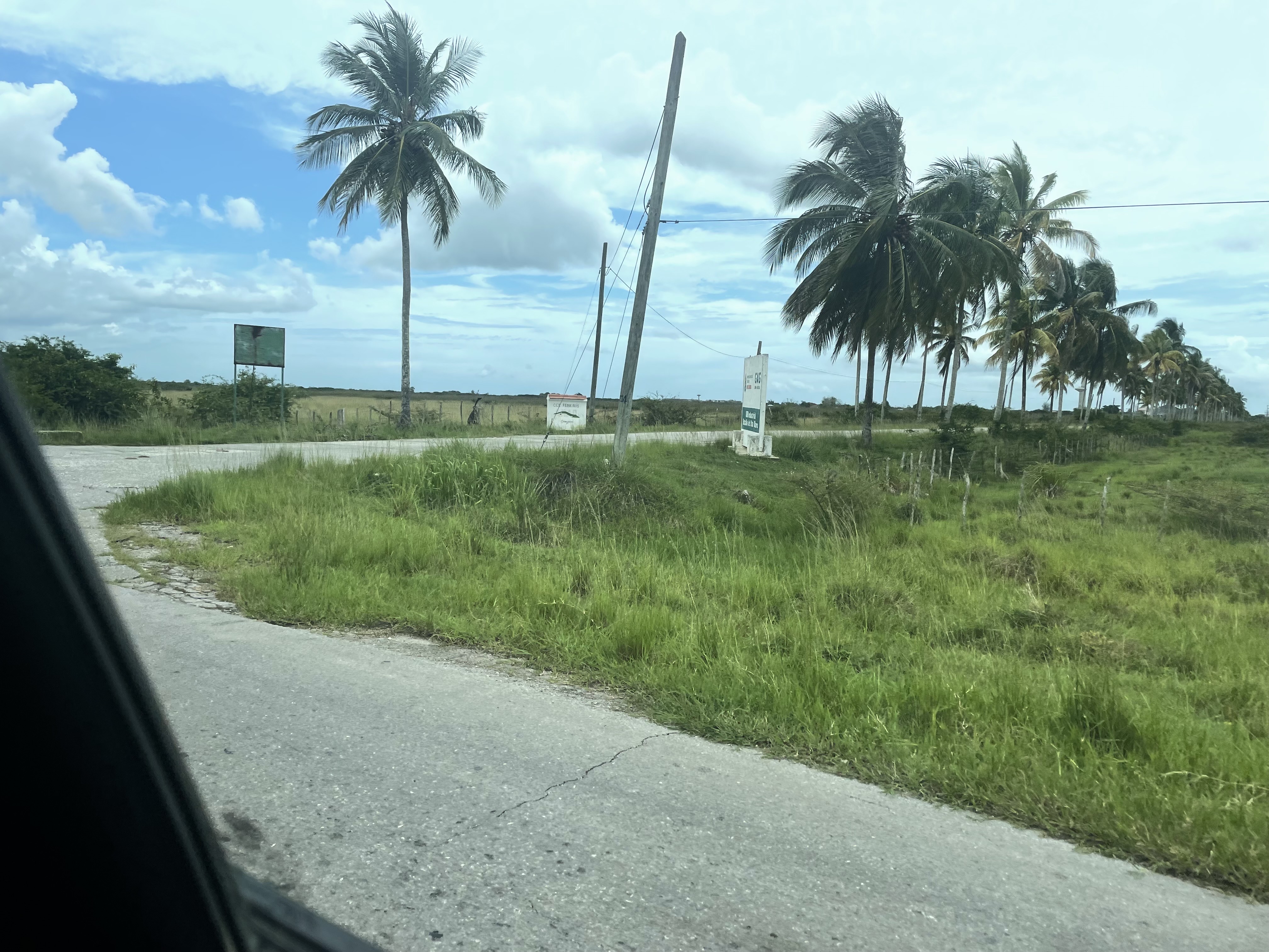
For decades, the economic heartbeat of this ward was the CAI Batalla de Santa Clara, an agroindustrial sugar complex in the Circuito Norte that served as the area's largest employer and economic engine. Like many of Cuba's sugar complexes, it has since been restructured. Today the ward's economy runs through smaller cooperatives and production units: the CCS Frank Pais, the UEB Industrial Batalla de Santa Clara, and the UBPC Crescencio Valdes. Agriculture remains the defining activity, with the flat, fertile land producing crops that feed the region. There is even a small airfield, the Aerodromo Agricola Jutiero, tucked northwest of Jutiero, a reminder that even in this deeply rural corner of Cuba, the sky connects to the wider world.
From the Air
Approaching from the north over the cobalt waters of the Old Bahama Channel, the Cuban coastline resolves into a green tableland of farmland and palms. The ward sprawls below as an unbroken expanse of cultivated fields broken only by the red-roofed clusters of its villages and the thin lines of roads connecting them. The Aerodromo Agricola Jutiero is visible as a small cleared strip northwest of Jutiero. There are no dramatic landmarks here, no mountain ridges or skyscraper skylines. The drama is in the story the land carries, a story of revolution and reinvention, of sugar and soil, written across the quiet fields of northern Villa Clara.
From the Air
Located at 22.62N, 79.68W in Villa Clara Province, Cuba. The ward includes the small agricultural airfield Aerodromo Agricola Jutiero. Nearest major airport is Abel Santamaria Airport (MUSC) in Santa Clara, approximately 40 km to the south. Best viewed at 3,000-5,000 ft AGL to appreciate the agricultural patchwork. The coastline and Playa Juan Francisco provide useful visual reference points from the north.