Batang, Sichuan
The name comes from the sound sheep make. In Tibetan, "ba" is the bleating of sheep and "tang" means a plain or steppe -- Batang, a vast grassland where sheep can be heard everywhere. The town sits at 2,700 meters in a fertile valley just east of the Jinsha River, which is what the Yangtze is called before it becomes the Yangtze. For centuries, this was the last stop in Tibet on the road to Chengdu, the place where the Dalai Lama's temporal authority ended and China's began. French missionaries in the 1840s called it large, populous, and wealthy. A British consul in 1904 found 400 Tibetan houses, a small lamasery, and an economy built on black leather and barley beer. Gold dust turned up in every river. Two hereditary princes claimed descent from chiefs in Yunnan. Batang was, and in many ways remains, a frontier town in the truest sense -- a place defined by what lies on either side of it.
The Fertile Anomaly
Most of eastern Tibet is vertical -- gorges, ridgelines, passes that test lungs and animals alike. Batang is the exception. Its plain runs east to west, roughly a mile wide and several miles long, sheltered by high mountains pierced by three valley openings. Through these gaps, the Batang River enters and exits, and three roads extend outward: to Litang, to the Kingdom of Dege, and to Tibet and Yunnan. The unusual fertility of this valley -- irrigated, protected, and low enough at 2,700 meters to support two harvests per year -- made Batang an oasis on a route where oases were scarce. Rice, maize, barley, wheat, grapes, pomegranates, peaches, and watermelons all grow here. Cinnabar mines in the surrounding hills yielded mercury. The Abbe Auguste Desgodins, a French missionary who spent fifteen years in the borderlands, reported that locals panned gold from every stream despite severe laws forbidding it. Batang's wealth was not incidental to its location; it was the reason everyone wanted to control it.
Where Tibet Ended
French Lazarist priests Evariste Regis Huc and Joseph Gabet passed through in the 1840s and left one of the clearest descriptions of the old Tibetan frontier. "The temporal power of the Supreme Lama ends at Bathang," they wrote. The border between Tibet and China had been fixed in 1726 after a major war, marked by a stone monument on a mountaintop two days' journey from the town. East of Batang, local chieftains governed under nominal Chinese authority, paying tribute in Peking every three years. The British consul A. Hosie, visiting in September 1904, persuaded his Chinese escorts to take him to the boundary marker -- a worn sandstone pillar about three feet high, with no inscription. When he instinctively moved to examine the Tibetan side, Chinese officials stepped in front of him and blocked the road. Looking into Tibet from that pillar, Hosie saw "a sea of grass-covered treeless hills" and, in the valley below, smoke rising from the campfires of 400 Tibetan border troops.
Destruction and Domination
Batang's position at the edge of empires made it a target. An earthquake destroyed the town completely in 1870. Recovery had barely begun when geopolitics intervened. Britain's 1904 invasion of Tibet under Francis Younghusband alarmed the Qing court, which sent an imperial official to reassert control over the borderlands. The Khampas revolted and killed him. Beijing then appointed Zhao Erfeng, a military commander whose methods in eastern Tibet foreshadowed the Communist campaigns half a century later. Zhao destroyed monasteries across Kham, melted down religious statues, tore up sacred texts to line soldiers' boots, and replaced Tibetan leaders with Chinese magistrates. His plan for Batang and the surrounding region included military training, secular education, and the resettlement of Han peasants from Sichuan -- a comprehensive program of assimilation. After the Qing fell, Zhao was executed, but the pattern was set. In 1932, warlord Liu Wenhui drove Tibetan forces back to the Yangtze, and by 1934 a ceasefire left Batang permanently on the Chinese side of the river.
Monks, Mule Trains, and Memory
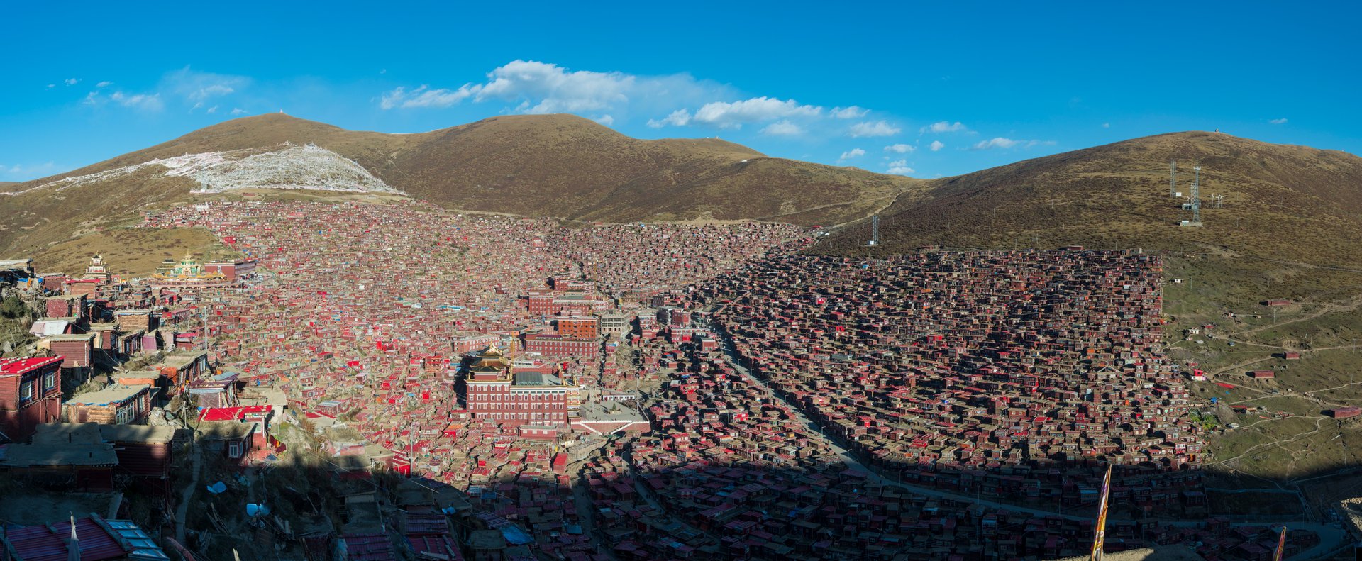
In the southwest corner of Batang stands Chode Gaden Pendeling Monastery, a Gelugpa institution now home to some 500 monks. Each year on the 26th day of the ninth Tibetan month, colorful cham dances are performed outside the town -- masked figures enacting Buddhist teachings through choreography that has survived every upheaval the region has endured. The monastery is a reminder that Batang's identity is layered: Chinese administration, Tibetan culture, and the ghosts of a caravan economy that once linked Sichuan to Lhasa. The Tea Horse Road ran directly through here, with mule trains carrying compressed bricks of tea westward and returning with horses, medicinal herbs, and musk. William Mesny, a British adventurer who visited in 1877, found a population consisting "only of Tibetans and half-castes" with two hereditary princes. Today, Batang is a stop on China's National Highway 318 -- the modern descendant of the old caravan route, carrying trucks and tourists instead of mules and monks toward Lhasa.
From the Air
Located at 30.01N, 99.11E in Garze Tibetan Autonomous Prefecture, Sichuan Province. Batang sits at 2,700 meters in a valley just east of the Jinsha (Upper Yangtze) River. The terrain is mountainous -- the Hengduan ranges surround the valley on all sides, with peaks exceeding 5,000 meters. The Jinsha gorge is visible as a deep trench running north-south to the west. Nearest significant airport is Kangding Airport (ZUKD) approximately 400 km east, or Chamdo Bangda Airport (ZUBD) to the west across the border in the Tibet Autonomous Region. China National Highway 318 passes through the valley. Expect mountain weather and significant turbulence in the gorge systems.