Battle of Apache Pass
"We would have done well enough if you had not fired wagons at us." So said an Apache warrior after the Battle of Apache Pass, describing the mountain howitzers that had shattered their stone defenses on July 15, 1862. It was one of the first times artillery had been deployed against Native Americans in the Southwest, and the Chiricahua Apache - who had never seen such weapons - called the wheeled guns 'wagons' because that's what they looked like. The Union's California Column had come east to fight Confederates. Instead, they found themselves in a desperate battle for water against 500 warriors led by the legendary Cochise and Mangas Coloradas.
The Long March East
The California Column had already pushed Confederate forces out of Tucson when Colonel James Carleton ordered Captain Thomas Roberts to lead an advance detachment eastward through Apache Pass. Roberts commanded Company E of the 1st California Infantry, accompanied by two 12-pounder mountain howitzers, a cavalry escort, and 21 wagons with over 240 mules and horses. The soldiers had marched dozens of miles across the scorching Arizona desert. They were exhausted, running low on water, and heading for the only spring for miles around - a spring that the Chiricahua Apache had no intention of surrendering.
Ambush at the Spring
At noon on July 15, Roberts' detachment entered Apache Pass. They had covered two-thirds of the distance to the spring when approximately 500 Apache warriors opened fire from behind stone breastworks they had constructed on the hillsides. The ambush was devastating - the Apache had waited until the soldiers came within 30 to 80 yards before revealing themselves. The Union troops could barely see their attackers. Roberts faced an impossible choice: retreat back across the waterless desert and lose men to dehydration, or fight through to the spring. He chose to fight.
The Wagons That Roared
After the initial shock, Roberts ordered a tactical withdrawal to the mouth of the pass, where his men could regroup and unlimber the mountain howitzers. This was the moment that would change southwestern warfare. Roberts ordered his infantry to take the surrounding hills while he directed artillery fire from the pass below. The guns were positioned 300 to 400 feet below the Apache defenses, limiting their effectiveness, so Roberts pushed them forward under fire to better positions. When the artillery opened up in earnest, the shells tore through the stone breastworks. The Apache held until nightfall, then fled.
The Cost of Water
Official Army reports listed two Union soldiers killed and three wounded, with about ten Apache dead. But Captain John Cremony recorded a different account from an Apache who was present: 63 warriors killed by artillery, only three by rifle fire. Among the wounded was Mangas Coloradas himself, shot in the chest while trying to kill a cavalry scout. The discrepancy in casualty figures reflects not just the fog of war but the different ways each side measured victory. The Union reached the spring. The Apache had learned that stone walls could not stop exploding shells.
Fort Bowie Rises
The day after the battle, nine scalped white civilians were found on the New Mexico side of the pass - a grim reminder that the Apache Wars would not end with one engagement. Colonel Carleton ordered the 5th California Infantry to build a permanent fort at the pass, named Fort Bowie after their commander George Washington Bowie. It would serve as the Army's headquarters for operations against the Chiricahua for the next quarter century, through the long campaigns that ended only with Geronimo's final surrender in 1886. Today, the battlefield and fort ruins are preserved within Fort Bowie National Historic Site, where the terrain still tells the story of the day Union howitzers taught the Apache the meaning of modern warfare.
From the Air
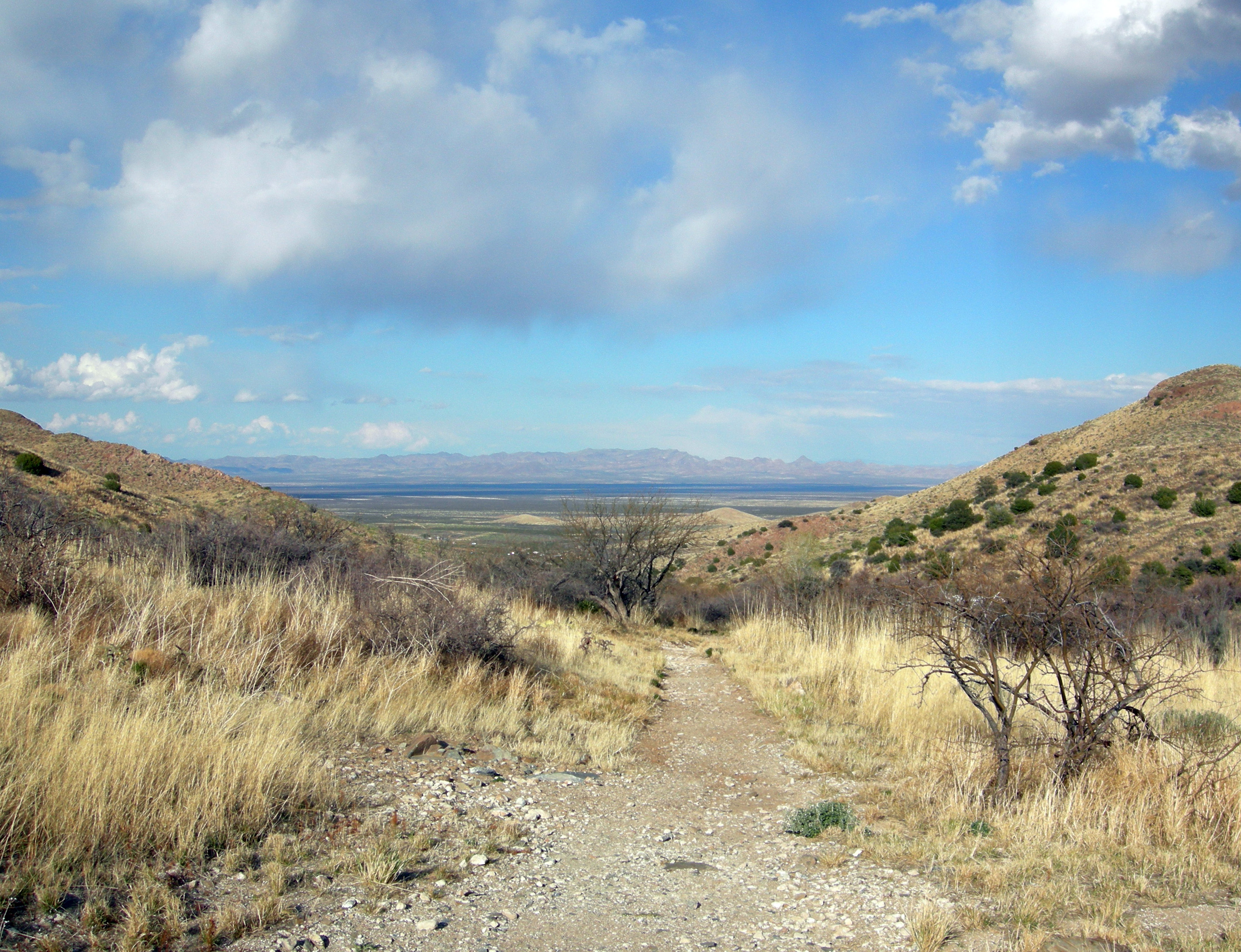
The Battle of Apache Pass took place at approximately 32.16N, 109.45W. The terrain clearly shows the narrow pass between mountain ranges where the ambush occurred. Fort Bowie ruins are visible from low altitude on the tableland above the spring site. The strategic importance of the water source is evident from the air - nothing but desert stretches in every direction. Nearest airports: Douglas Bisbee International (KDUG) 50nm south, Tucson International (KTUS) 90nm west. Terrain rises sharply on both sides of the pass. Best visibility in morning hours before thermals develop.