Battle of Heartbreak Ridge
One observer described the objective as "the spinal column of a fish, with hundreds of vertebrae" -- a long, narrow ridge running north to south between two valleys, bristling with spur ridges that arched east and west from the central spine. Heartbreak Ridge was not the name the military gave it. News correspondents covering the fighting chose that word, and it stuck, because the battle that raged from September 13 to October 15, 1951, earned its name with every casualty report. The US 2nd Infantry Division suffered over 3,700 casualties taking three peaks from defenders who simply refused to stay beaten.
After Bloody Ridge
The battle grew from its predecessor. After the North Korean People's Army withdrew from Bloody Ridge in early September 1951, they established new defensive positions just 1,500 yards away on a longer, higher ridgeline. If anything, these defenses were more formidable -- the KPA had learned from Bloody Ridge what American firepower could do to surface positions and had dug deeper. General James Van Fleet, commanding the Eighth Army, wanted to keep the enemy off balance while the defenders were still reorganizing. He ordered X Corps to take the ridge north of Bloody Ridge and another north of the Punchbowl. X Corps assigned the task to the 2nd Infantry Division. The objective had three main peaks: Hill 894 at the southern terminus, Hill 931 -- the highest -- 1,300 yards north, and the needlelike Hill 851 another 2,100 yards beyond that.
The Mountain Meat Grinder
The 23rd Infantry Regiment and its attached French Battalion bore the brunt of the initial assault, and together they took almost half of the division's total casualties. The fighting followed a brutal pattern: American troops would assault uphill under air and artillery support, take a position, then face nighttime counterattacks from KPA forces that used the mountains' reverse slopes and deep bunkers to survive the bombardment. The KPA's 6th, 12th, and 13th Divisions, reinforced by the Chinese PVA 204th Division, rotated fresh troops into the line while the 2nd Division's regiments grew steadily thinner. Against the deep bunkers carved into Korean granite, anything less than a direct artillery hit was ineffective. Van Fleet authorized the division commander to fire "all the ammunition thought necessary to take the positions" -- and the division did, expending staggering quantities.
Five Hundred Sixty Thousand Rounds
The ammunition expenditures tell the story in numbers. The 2nd Division's supporting artillery fired 62,000 rounds of 76mm, 401,000 rounds of 105mm howitzer, 84,000 rounds of 155mm howitzer, and 13,000 rounds from 8-inch howitzers. Mortar crews added 119,000 rounds. Recoilless rifle teams fired nearly 18,000 rounds. The Fifth Air Force flew 842 sorties over the area and dropped 250 tons of bombs. All of this ordnance fell on a ridge seven miles long. The KPA and PVA suffered an estimated 25,000 casualties, roughly half during the final phase called Operation Touchdown. But the defenders kept fighting, using the same tunnels and reverse-slope positions to absorb punishment that would have annihilated forces in open terrain.
Echoes in Film and Memory
Heartbreak Ridge entered American culture through the 1986 Clint Eastwood film of the same name, though the movie's plot actually centers on the 1983 Grenada invasion rather than Korea. The South Korean film Tae Guk Gi used the battle as its climax, referencing Hills 931 and 851 by name. A 1955 French documentary, Crevecœur, used actual combat footage from the battle and earned an Academy Award nomination. French writer Jean Larteguy, who fought with the French Battalion and was wounded by a hand grenade during the battle, fictionalized the experience in his 1963 novel Les mercenaires. The battle even became a StarCraft map in South Korea -- a reminder that in the country where the fighting happened, the Korean War's geography remains embedded in the culture in ways Americans rarely imagine.
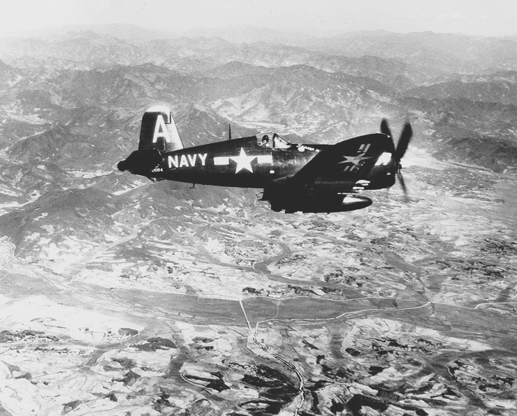
From the Air
Located at 38.30N, 128.02E in the mountainous terrain of eastern Korea, near the current DMZ boundary in what is now Gangwon Province. The ridge runs north-south between the Mundung-ni Valley (west) and the Sat'ae-ri Valley (east), near the Punchbowl area. The terrain is heavily forested with steep ridges and narrow valleys. Overflights near the DMZ are restricted. Nearest accessible airports include Sokcho/Yangyang International (RKNY) to the east and Wonju Airport (RKNW) to the south. Bloody Ridge lies approximately 3 miles to the south.