Battle of Kumegawa
On the morning of May 12, 1333, Nitta Yoshisada planted his war banner atop Hachikokuyama ridge and surveyed the plain below. Crisscrossed by small rivers and hemmed in by low ridges, the flatlands near present-day Higashimurayama offered something rare in medieval Japanese warfare: room for mounted samurai to charge and wheel in open formation. The day before, his imperial loyalists had fought the Shogunate's men to a standstill at nearby Kotesashi. Both sides knew the contest was unfinished. What unfolded at Kumegawa over the next several hours would crack the spine of the Kamakura regime and launch one of the most consequential military campaigns in Japanese history.
An Empire Tears Itself Apart
The Genko War pitted Emperor Go-Daigo against the Hojo regents who had ruled Japan through the Kamakura Shogunate for over a century. By 1333, the emperor's cause had attracted powerful warrior families frustrated with Hojo dominance. Among the most consequential defectors was Nitta Yoshisada, a minor lord from Kozuke Province who raised an army and marched south along the Kamakura Kaido highway toward the shogunate's seat of power. Standing between Nitta and his objective was a Shogunate force commanded by Sakurada Sadakuni, deployed to block the old road that linked the provincial capitals of Musashi and Kozuke. The terrain between the Iruma and Tama rivers had long been recognized as strategically vital, and both commanders understood that whoever controlled this corridor controlled access to Kamakura itself.
Steel on the Musashi Plain
At dawn, Nitta's forces advanced along the Kamakura Kaido toward Sakurada's defensive position at the foot of the Hachikokuyama ridge. The Taiheiki, the great medieval chronicle that recorded the war, describes the Shogunate army forming a massive encircling formation designed to swallow the smaller imperial force. Nitta countered with a wedge, concentrating his best warriors at the center to prevent the enemy from splitting his line. The mounted warriors clashed on open ground while their commanders watched from the surrounding ridges. Hours passed without a decisive break. The battle devolved into brutal attrition, with neither side willing to yield the plain. Finally, as casualties mounted, the Shogunate force buckled. Sakurada's men broke contact and retreated southward to Bubaigawara, leaving the field to Nitta's exhausted but victorious army.
Seven Days That Ended a Dynasty
Though the imperial forces had won, two consecutive days of fighting had drained them. Nitta's warriors rested on the blood-soaked plain before pressing their advantage. Three days later, they caught the Shogunate army again at Bubaigawara and Sekido, driving it further south. In less than one week, Nitta led his forces fifty kilometers down the coast and stormed Kamakura itself. The Siege of Kamakura in early July 1333 ended with the mass suicide of the Hojo leadership and the destruction of the shogunate that had governed Japan since 1185. The Battle of Kumegawa was the crack that made the collapse possible, the moment where the shogunate's field army broke and could never again assemble enough strength to stop Nitta's advance.
A Battlefield That Kept Drawing Armies
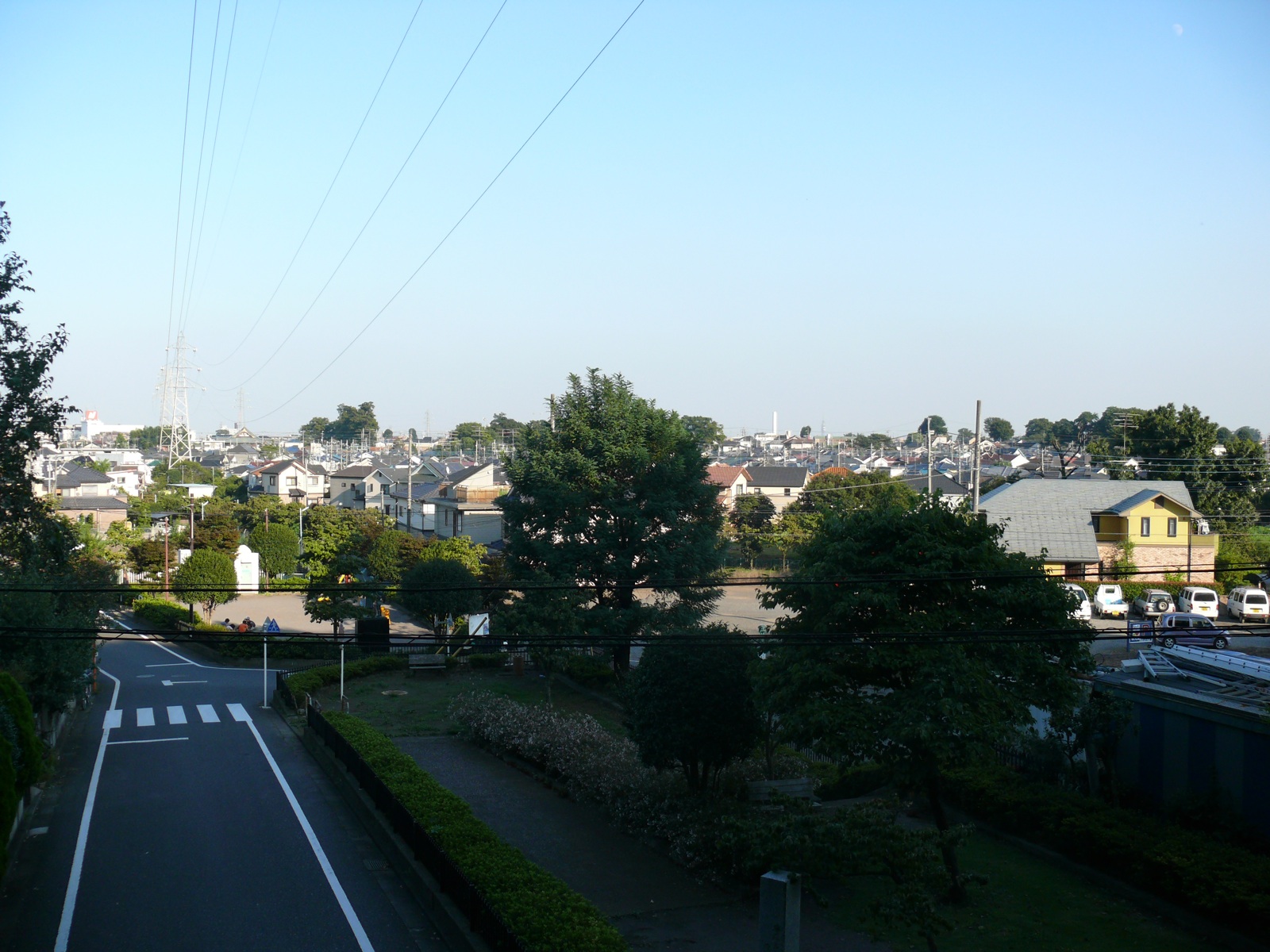
The strategic logic that drew samurai to the Kumegawa plain in 1333 continued to operate for generations. In 1335, the same ground witnessed fighting during the Nakasendai Rebellion. Again in 1416 and 1417, armies clashed here during the War of Uesugi Zenshu. The corridor between the Sayama Hills and the Yanagase River remained contested throughout the Sengoku period. Today, the suburban sprawl of Higashimurayama covers the old battlefield. The ridges where Nitta raised his banner are park land now, and the rivers that once bordered the killing ground have been channeled into concrete banks. But the terrain that made this place a hinge of history is still legible from the air: the flat plain, the enclosing ridges, the river courses threading through what was once Musashi Province's most fought-over ground.
From the Air
Located at 35.77N, 139.47E in the western suburbs of Tokyo. The battlefield lies at the foot of Hachikokuyama ridge near modern Higashimurayama. From the air, look for the flat plain bordered by the low ridges of the Sayama Hills to the west. Nearby airports include Chofu Airport (RJTF) approximately 10 km to the south, Yokota Air Base (RJTY) 10 km to the northwest, and Tokyo Haneda (RJTT) 35 km to the southeast. Best viewed at 2,000-3,000 feet to appreciate the terrain that shaped the battle.