Battle of Nhu Nguyet River (1077)
A poem turned the tide. In February 1077, with 300,000 Song Chinese soldiers massed on the north bank of the Cau River and his defensive lines buckling, Vietnamese general Ly Thuong Kiet recited 'Nam Quoc Son Ha' -- 'The rivers and mountains of the Southern Country' -- before his battered troops. Vietnamese tradition holds that the words electrified the army. They counterattacked, drove the Song forces back across the river, and held. The poem would endure for nearly a thousand years as Vietnam's founding declaration of sovereignty, and the battle itself -- fought along what was then called the Nhu Nguyet River, in modern Bac Ninh Province -- would mark the moment Dai Viet proved it could face the Song Empire and survive.
The Raid That Started a War
The roots of the battle ran two decades deep. By the 1050s, the Vietnamese kingdom of Dai Viet under the Ly dynasty had been aggressively expanding northward, absorbing Nung and Tay peoples into its sphere of influence and alarming the Song court. Border clashes intensified through the 1060s. When the young king Ly Can Duc took the throne in 1072, his regent and general, Ly Thuong Kiet, advocated a strategy of preemptive aggression. In late 1075, Thuong Kiet invaded southern China with a Vietnamese army that swept through Guangxi and captured several fortified towns, killing an estimated 50,000 people in Nanning alone. It was a devastating blow. Song chief minister Wang Anshi demanded retaliation, and by September 1076, Emperor Shenzong had approved an expedition of staggering scale: approximately 100,000 soldiers and 200,000 laborers under generals Guo Kui and Zhao Jie. They retook Guangxi and crossed the Vietnamese frontier in late 1076, advancing through Lang Son and Cao Bang toward the heart of Dai Viet.
Bamboo, Oil, and Spikes
Ly Thuong Kiet chose his ground carefully. The Cau River -- the Nhu Nguyet in older Vietnamese -- was the last major natural barrier between the Song army and the Red River Delta, the political and spiritual core of Dai Viet. The tombs of former rulers lay beyond it, along with the village of the dynasty's founder. Losing the river meant losing everything. Along the southern bank through Bac Ninh, Thuong Kiet's engineers constructed multiple lines of earthen ramparts reinforced with thousands of sharpened bamboo stakes coated in incendiary mixtures and flammable oil. Below the waterline, they drove iron and bamboo spikes into the riverbed to tear apart any crossing attempt. A fleet of 400 boats patrolled the river. At the coast, Vietnamese naval forces blockaded the Bach Dang River estuary to prevent Song warships from reinforcing the land army. 'Many sea battles' were fought in the months before the armies clashed on the Cau, though no details of the naval engagements survive. Back in Hanoi, the king and Buddhist monks held an assembly to pray for divine intervention.
The River Holds
In early 1077, Guo Kui and Zhao Jie's combined forces gathered on the north bank. Zhao Jie ordered catapults built to bombard the Vietnamese fleet, and floating bridges to span the river. The catapult barrage succeeded in clearing Viet boats from the crossing zone, and several hundred Song soldiers made it across the bridges before the defenders set them ablaze. Those who crossed ignited the bamboo walls, but the layered defenses held -- there were simply too many barriers to burn through. A Song cavalry vanguard actually rode to within several kilometers of the capital, Thang Long, but lacked the numbers to press the attack. Under escalating pressure, Thuong Kiet rallied his troops with the poem that would become legend. The counterattack drove the Song back across the water. When they tried again, the underwater spike system savaged the crossing force, inflicting roughly 1,000 casualties. Guo Kui attempted an alternative approach through Phu Luong, bombarding Thuong Kiet's positions for a month, but every river crossing was repulsed.
A Night Too Far
Flushed with weeks of successful defense, Thuong Kiet overreached. He led a nighttime assault across the river to scatter the Song army for good. The attack initially buckled the Song front line, but reinforcements stabilized the position and drove the Vietnamese back. A Viet general was captured, and two princes drowned in the fighting at the Khao Tuc River. It was a sobering check. Neither side could break the other. The Song army, according to Chinese sources, had lost between 50 and 60 percent of its strength -- half to combat, half to tropical diseases that ravaged troops accustomed to northern climates. The Viet court, meanwhile, feared the consequences of prolonged war so close to the capital. Both sides had reason to talk.
The Border Takes Shape
Thuong Kiet opened peace negotiations. Guo Kui agreed to withdraw, but Song forces retained five disputed border prefectures encompassing much of what is now Cao Bang and Lang Son provinces. Dai Viet kept its hold on three Chinese prefectures. The territorial exchanges took years to unwind. In 1082, King Ly Nhan Tong returned the occupied Chinese prefectures along with prisoners of war, and the Song reciprocated by ceding the disputed Vietnamese territories, including the Nung homeland of Quang Nguyen. Final boundary negotiations in the summer of 1084 at the Yongping garrison fixed the border that would define the two countries' relationship for generations. The battle's deepest legacy, though, was not territorial but cultural. The 14th-century Buddhist text 'Thien uyen tap anh' attributed 'Nam Quoc Son Ha' to Thuong Kiet's preparation for the counterattack. Whether the poem was composed in that moment or codified later, it became the founding text of Vietnamese national identity -- a declaration that the mountains and rivers of the south belonged to the southern emperor, and heaven had ordained it so.
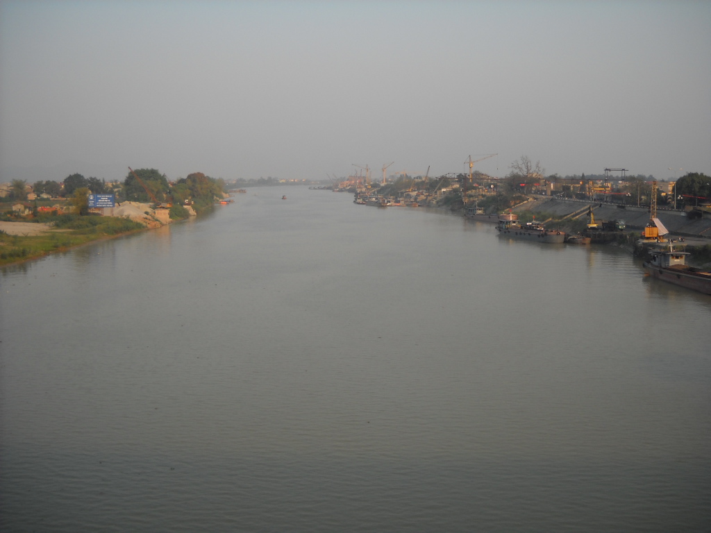
From the Air
Located at 21.23N, 106.03E along the Cau River in Bac Ninh Province, northeast Vietnam. The river is a major tributary of the Red River, flowing through relatively flat terrain of the Red River Delta. From the air, the Cau River is clearly visible as it winds through agricultural landscape. Nearest airports: Noi Bai International (VVNB) in Hanoi, approximately 40 km southwest; Cat Bi International (VVCI) in Hai Phong, approximately 80 km southeast. Recommended altitude: 2,000-4,000 feet to see the river's defensive geography. The Red River Delta stretches south and west; mountainous Sino-Vietnamese borderlands are visible to the north.