Battle of Pinkie
The Scots called it Black Saturday, and the name endured for centuries. On 10 September 1547, on the banks of the River Esk near Musselburgh, the last great pitched battle between England and Scotland became one of the most lopsided defeats in Scottish military history. The English came with an army of roughly 16,000 and a fleet of warships anchored offshore. The Scots fielded perhaps 22,000 men. By nightfall, thousands of Scottish soldiers lay dead across the fields of Pinkie Cleugh, and England's attempt to force Scotland into a marriage alliance through raw military power had reached its bloodiest expression.
The Rough Wooing
The battle was the culmination of a conflict with a name that belied its brutality. Henry VIII of England wanted to marry his son Edward to the infant Mary, Queen of Scots, uniting the two crowns. When Scottish diplomacy resisted, Henry resorted to force in a campaign the Scots bitterly called the Rough Wooing. English armies burned Edinburgh in 1544 and devastated the Scottish Lowlands. After Henry's death in January 1547, his successor's Protector, the Duke of Somerset, continued the policy with an invasion that September. Somerset marched north with a disciplined force that included arquebusiers, cavalry, and artillery, supported by a naval squadron in the Firth of Forth. The Scots, under the Earl of Arran, assembled a larger army along the west bank of the Esk, confident that their numbers and position would carry the day.
Black Saturday
What happened next became a case study in how superior numbers can be undone by tactical mistakes. The Scottish position behind the Esk was strong, but Arran ordered his pike-armed formations to cross the river and advance. Once exposed on open ground, the Scots came under devastating fire from English naval guns, land-based artillery, and volleys of arrows. The English cavalry struck the Scottish flanks. Caught in a lethal convergence of firepower from land and sea, the Scottish formations broke apart. The retreat became a rout, and the rout became a slaughter. English cavalry pursued the fleeing Scots for miles. Contemporary accounts describe bodies scattered across the landscape from the battlefield to Edinburgh. An English eyewitness, William Patten, published a detailed account four months later as propaganda, complete with illustrations and maps. Scottish casualties may have reached 10,000 killed, though exact figures remain debated.
Victory Without Purpose
Despite the crushing military victory, the Rough Wooing ultimately failed in its objective. Rather than submit to the marriage alliance, the Scots sent the young Queen Mary to France, where she was betrothed to the French Dauphin instead. The English occupied parts of southern Scotland and built garrison forts, but holding the territory proved expensive and strategically unsustainable. The French sent troops to support Scotland, and by 1550 England was forced to withdraw. The battle demonstrated that military force alone could not compel political union between the two kingdoms. When Scotland and England finally united their crowns, it happened through inheritance in 1603, not conquest, and the formal Acts of Union followed in 1707 through negotiation.
Pinkie Today
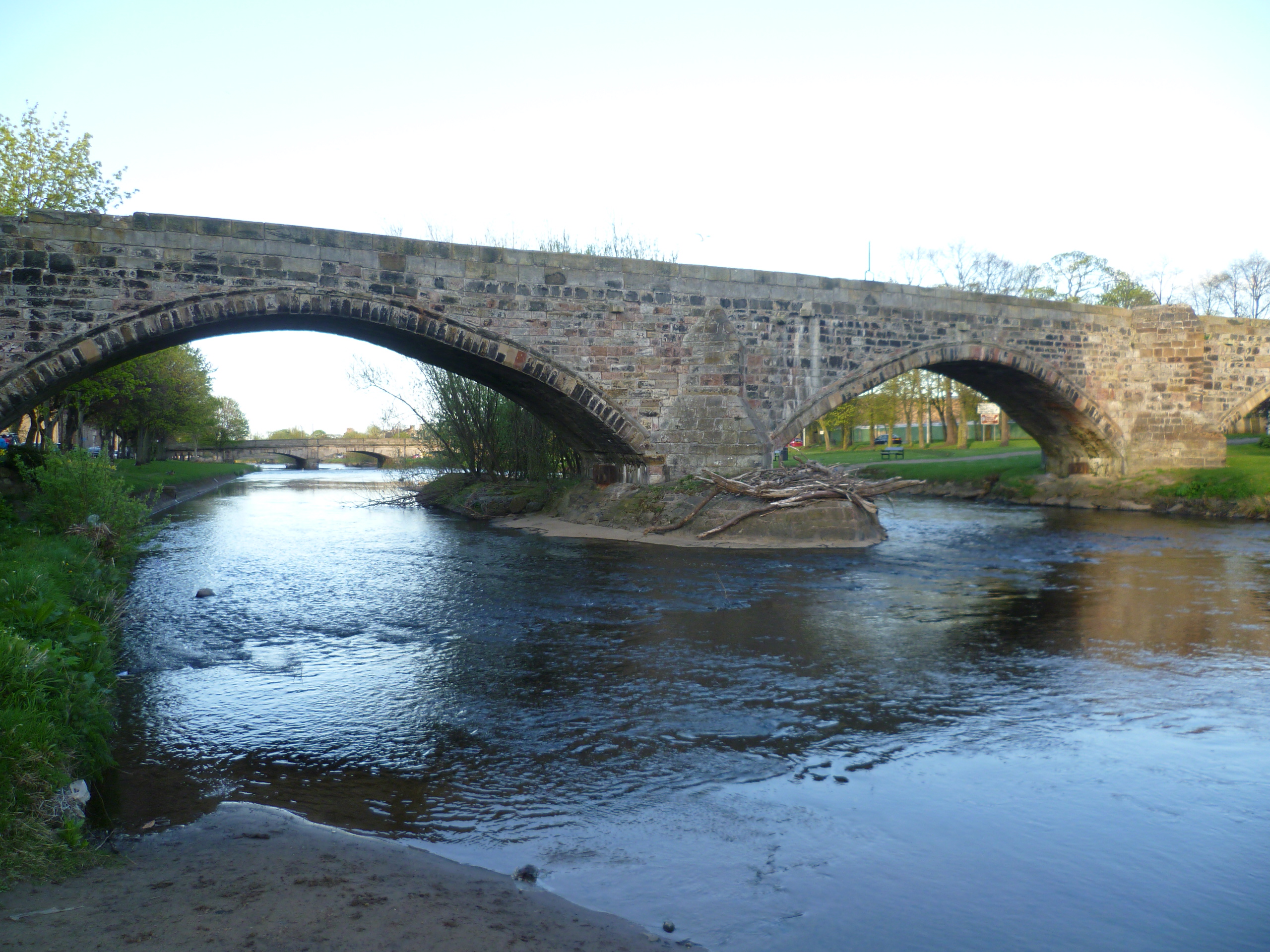
The battlefield lies east of Edinburgh, near the modern town of Musselburgh. Suburban development has encroached on parts of the site, though the landscape still slopes toward the Esk as it did in 1547. The battlefield is included in the Inventory of Historic Battlefields in Scotland and receives some protection from Historic Environment Scotland. A memorial cairn marks the site, and the nearby Inveresk Lodge Garden occupies ground where English forces once deployed. Walking the terrain, the strategic logic of the Scottish position along the river becomes clear, as does the fatal exposure of the open ground the Scots crossed during their advance. The battle remains less well known than Bannockburn or Culloden, overshadowed in popular memory despite being, by body count, the deadliest engagement Scotland and England ever fought.
From the Air
Located at 55.94°N, 3.06°W on the banks of the River Esk near Musselburgh, east of Edinburgh. The battlefield extends across low-lying farmland south of the Firth of Forth. Nearest airport: Edinburgh (EGPH), approximately 5 nm west. The river and surrounding terrain are visible at lower altitudes. Inveresk and Musselburgh provide ground reference points.