Battle of Stanwix Station
Smoke rose from the hay stacks at Stanwix Station on March 29, 1862. Second Lieutenant John W. Swilling and his small detachment of Confederate Arizona Volunteers had ridden hard to reach this isolated Butterfield Overland Mail stop on the Gila River, their mission simple but vital: destroy the fodder stockpiled for Union animals and buy time for Confederate forces in Tucson. What Swilling did not know was that Captain William P. Calloway and 272 troops from the California Column were already approaching. The brief exchange of gunfire that followed would become the westernmost skirmish of the American Civil War, fought in the Arizona desert about 80 miles east of Yuma over a pile of burning hay.
A Station of Many Names
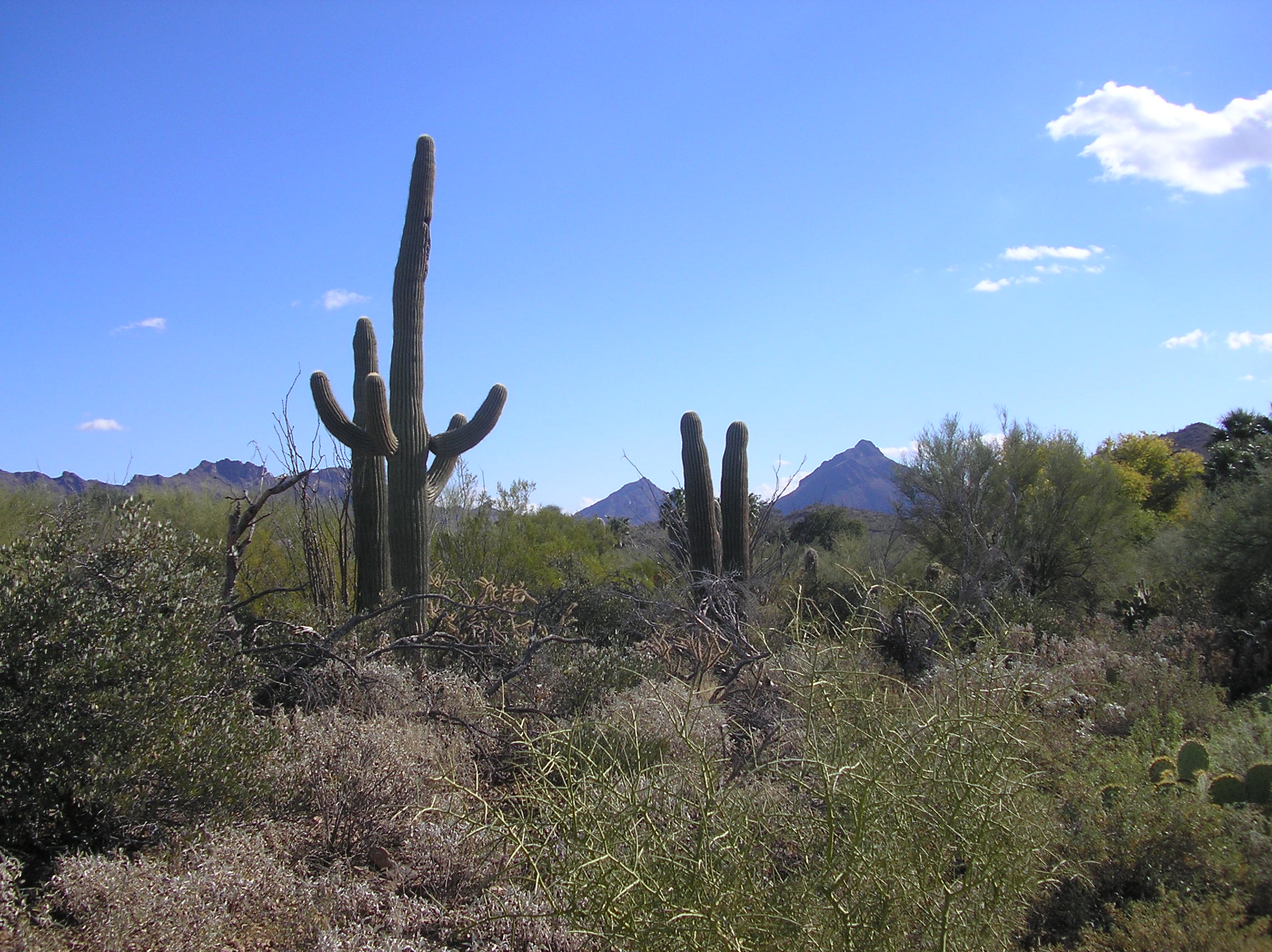
Stanwix Station sat in western Arizona along the Gila River, one of a string of stops that made overland travel possible in the late 1850s. Originally called Flap Jack Ranch, later Grinnell's Ranch or Grinnell's Station, it served the Butterfield Overland Mail stagecoach line until the Civil War disrupted transcontinental mail service. The traveler John Ross Browne passed through in 1864, noting the station lay six miles southwest of the hot springs at Agua Caliente. By 1862, with California loyal to the Union and Confederate forces holding Tucson, the Gila River stations became strategic targets. The hay, grain, and supplies cached at these stops would either fuel a Union advance or go up in smoke.
The California Column Advances
The California Column, a force of Union volunteers assembled to reclaim the Southwest, was marching east from Fort Yuma. Their objective: Confederate-held Tucson and then Mesilla, the territorial capital of Confederate Arizona. Captain Sherod Hunter, commanding the western district of Confederate Arizona, knew the Union force was coming and dispatched Lieutenant Swilling and his men to slow the advance by denying them supplies. Swilling's raiders burned hay at Stanwix and five other former stagecoach stations along the Gila River east of Fort Yuma. Before evacuating Tucson, the Confederates also removed or destroyed supplies gathered by Union sympathizer Ammi S. White at the Maricopa Villages.
Shots in the Desert
When Calloway's vanguard of 272 California Column troops discovered Swilling's men at Stanwix Station, the Confederates were vastly outnumbered. A brief exchange of gunfire erupted before Swilling's detachment retreated toward Tucson, the Confederate capital of western Arizona. The skirmish produced a single casualty: William Frank Semmelrogge, a German-born Union private, was wounded but would recover. There appear to have been no other casualties on either side. The engagement lasted mere minutes, more of an interrupted arson than a battle, yet it carried consequences.
Warning Rides East
The true significance of Stanwix Station lay not in the bullets fired but in Swilling's escape. He reached Tucson ahead of the California Column and warned Captain Hunter of the approaching Union force. This intelligence allowed Hunter to position pickets at strategic locations, directly leading to the larger Battle of Picacho Pass on April 15, 1862. The burned hay and destroyed supplies delayed the California Column's advance, buying time for Confederate preparations. When Union forces finally reached Tucson, they found the Confederates gone, having retreated to join forces further east. The westernmost skirmish of the Civil War had served its purpose.
Iron Rails Erase the Trail
The stagecoach lines that gave Stanwix Station its purpose were abandoned in the 1880s when the Southern Pacific Railroad completed its tracks from Yuma to Tucson. The railroad built its own station just east of the Maricopa County line on Stanwix Flats, preserving the name if not the original location. Today, the desert around the original station site has reclaimed most evidence of the Butterfield route. The Gila River still flows, though much diminished by upstream diversions. Where stagecoaches once rolled and Confederate raiders burned hay to slow a Union advance, the Arizona desert holds its secrets beneath creosote and mesquite, the westernmost battlefield of America's bloodiest war forgotten by all but historians.
From the Air
Located at 32.93°N, 113.39°W in western Arizona, about 80 miles east of Yuma along the Gila River. The terrain is flat desert with sparse vegetation. Nearest airports: Yuma International Airport (KYUM) 50nm west, Phoenix Sky Harbor (KPHX) 100nm east. Best viewed at 2,000-3,000 feet AGL. The Gila River corridor is visible as a ribbon of slightly greener vegetation cutting through the brown desert. Interstate 8 roughly follows the historic route.