Battle of Tacna
Artillery shells buried themselves in sand and refused to explode. It was 26 May 1880, and the opening cannonade of the Battle of Tacna had already revealed the absurdity that often underlies organized violence: two armies had dragged dozens of cannons across the Atacama only to watch their projectiles vanish harmlessly into the ground. What followed, once the infantry closed to forty meters and the killing became personal, was anything but harmless. By nightfall, the combined armies of Peru and Bolivia lay broken on the Intiorko plateau, and Bolivia's role in the War of the Pacific was over.
Saltpeter and Secret Treaties
The War of the Pacific began over something unglamorous: bird droppings and mineral deposits. Saltpeter -- sodium nitrate, essential for fertilizer and explosives -- lay in vast quantities beneath the Atacama Desert, in territory disputed between Chile, Peru, and Bolivia. A secret 1873 treaty bound Peru and Bolivia into a mutual defense pact against Chilean ambitions. When Bolivia raised taxes on Chilean mining companies in violation of existing agreements, Chile seized the Bolivian port of Antofagasta in 1879, and the treaty's hidden gears engaged. Peru and Bolivia found themselves at war with a nation whose navy controlled the Pacific coast and whose treasury was filling with the very saltpeter revenues the conflict was meant to protect. After Chile's successful Tarapaca campaign, both allied presidents were deposed by their own people -- Mariano Ignacio Prado in Peru and Hilarion Daza in Bolivia -- replaced by leaders who promised a fiercer fight.
The Plateau Above Tacna
Bolivian President Narciso Campero assumed command of the allied forces at Tacna on 19 April 1880. He had roughly 10,000 men and thirty-one cannons, including six Krupp breech-loaders and six Gatling guns. Disease was already thinning the ranks -- infectious illness spread through the city among soldiers and civilians alike. Campero positioned his army along the southern edge of the Intiorko plateau, a three-kilometer defensive line overlooking the desert approaches. The troops dug almost no trenches, building only small sand barriers for the artillery on the right flank. The Chilean Army of Northern Operations, commanded by General Manuel Baquedano, approached with sixteen battalions, three cavalry regiments, and thirty-seven cannons. On the night of 25 May, Campero's forces attempted a surprise attack at Quebrada Honda, but darkness and mist turned the ambush into confusion, and the allied soldiers retreated to their positions to wait for dawn.
Forty Meters Apart
After the futile artillery exchange, Chilean Colonel Santiago Amengual led his division against the allied left flank around 10 a.m. The fighting compressed into an intimate horror. Opposing soldiers fired at each other from distances no greater than forty meters -- close enough to see faces. The Sucre Battalion lost eighty percent of its men. Reinforcements poured in from both sides, turning the allied left into a grinding stalemate. By 12:30 p.m., the Chilean attackers had exhausted their ammunition and the advance stalled. The allies sensed the moment and ordered a general counterattack. Castro Pinto's infantry surged into Barcelo's line while the famed Bolivian Colorados and Aroma battalions struck Amengual's weakened troops. The Atacama Regiment lost nearly half its men. Chilean Lieutenant Colonel Adolfo Holley called desperately for cavalry support, and the horsemen finally charged. Barbosa's division bayoneted their way through the artillery positions while remnants of the Atacama Regiment pierced the allied rear. The defensive front collapsed. After five hours of killing, the allies withdrew toward Tacna, pursued by Amengual's troops. By 6:30 p.m., Chilean forces entered the city.
The Cost of a Plateau
Chile counted 2,200 casualties. The allies lost between 3,500 and 5,000. The Bolivian Colorados Battalion, which chose to fight to the end rather than retreat, was reduced to 293 survivors. The Aroma Battalion -- also called the Amarillos -- lost 388 soldiers under the same grim logic. Twenty-three Bolivian officers, from major to general, died on the field. Among the debris of war came an unexpected recovery: the banner of Chile's 2nd Line Regiment, lost at the earlier Battle of Tarapaca, was found inside a church in Tacna. The political consequences were as decisive as the military ones. General Campero withdrew what remained of Bolivia's army toward Palca, effectively ending Bolivian participation in the war. Peru's General Lizardo Montero retreated to Puno. Chile consolidated control over the Tarapaca Department, a territory it would formally annex through the Treaty of Ancon in 1884. Tacna itself remained under Chilean administration until 1929, when it was returned to Peru -- nearly half a century after the battle that decided its fate.
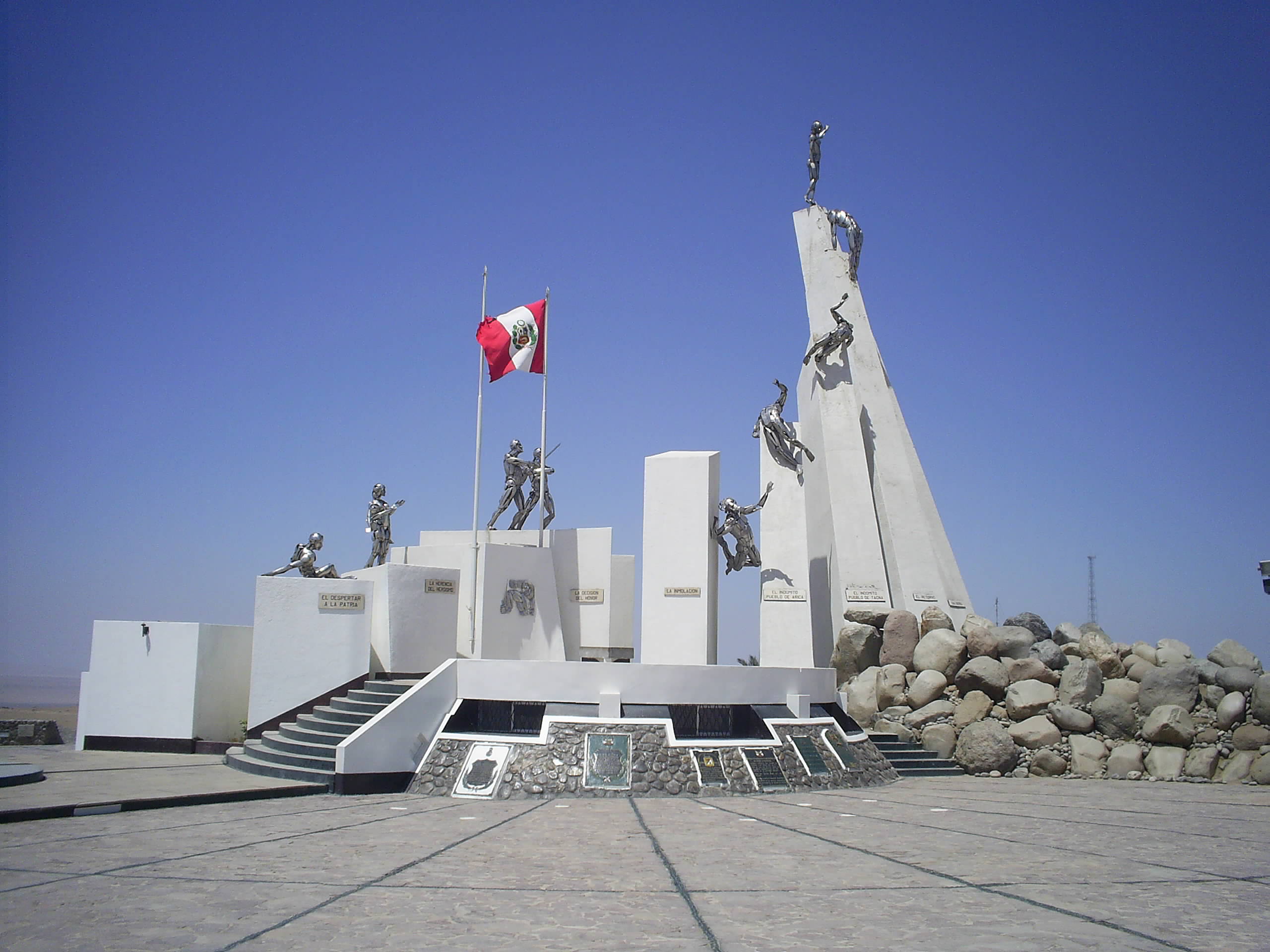
A Monument on the Hill
Today the Intiorko plateau sits quietly above the modern city of Tacna, in Peru's southernmost department. A monument marks the battlefield where three nations collided over mineral wealth and national pride. The battle is remembered differently depending on which side of the border you stand on. In Bolivia, the Colorados are celebrated as martyrs -- their crimson tunics have become a national symbol of sacrifice. In Chile, the battle is commemorated as a turning point that secured the nation's northern frontier. In Peru, it is part of a longer narrative of wartime loss and eventual recovery. The War of the Pacific reshaped South America's political map, transferring vast mineral-rich territories from Peru and Bolivia to Chile and leaving Bolivia permanently landlocked. The scars of that rearrangement persist in diplomacy and national memory. On the plateau itself, the wind moves across the same sandy ground that swallowed artillery shells in 1880, indifferent to the borders drawn and redrawn around it.
From the Air
Located at 18.00S, 70.29W on the Intiorko plateau north of Tacna, Peru. Best viewed at 5,000-8,000 ft AGL. The plateau is visible as an elevated mesa above the city. Nearest airport: SPTN (Coronel FAP Carlos Ciriani Santa Rosa International Airport, Tacna). The Atacama Desert stretches to the south and west, providing stark terrain contrast.