Battle of the Sittang Bend
By the summer of 1945, the Japanese Twenty-Eighth Army was trapped and starving in the Pegu Yomas, a range of low jungle-covered hills between the Irrawaddy and Sittang rivers in central Burma. Rangoon had already fallen to an Allied amphibious assault in May. The overland advance of the British IV Corps had sealed most escape routes. What remained was not really an army anymore but rather a collection of exhausted, malnourished men from anti-aircraft batteries, airfield construction battalions, naval anchorage units, and remnants of combat divisions, all clinging to one objective: cross the Sittang River to the east and link up with retreating Japanese forces before the war ended without them.
The Walls Close In
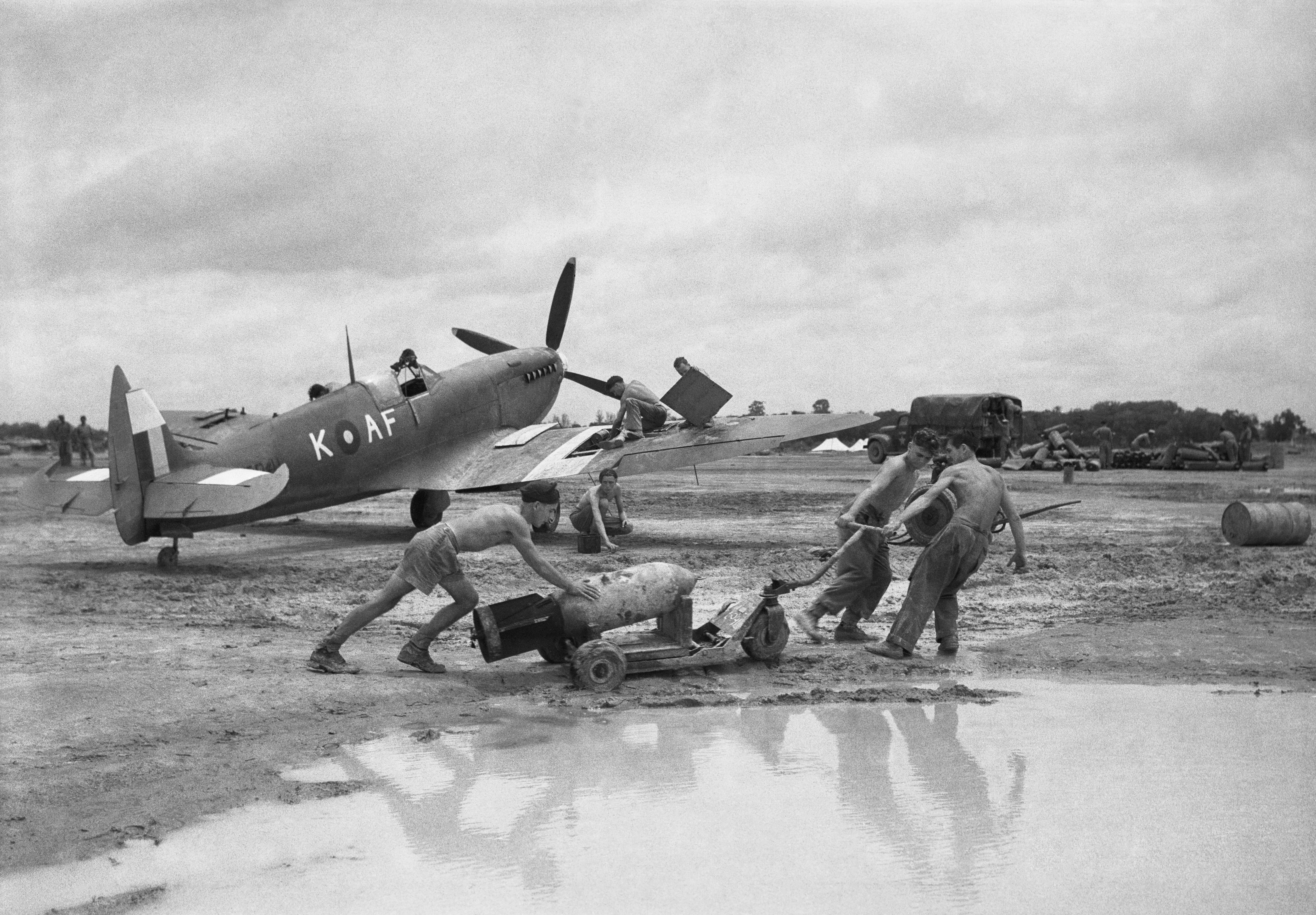
The collapse had been building for more than a year. In early 1944, the Japanese launched Operation U-Go, an ambitious invasion of India intended to forestall a British counteroffensive. It failed catastrophically. William Slim's Fourteenth Army then delivered a decisive blow at Meiktila and Mandalay, shattering Japanese defensive lines across central Burma. Meanwhile, the Burmese National Army under Aung San switched allegiance, turning against the Japanese occupation and hunting down patrols and foraging parties in territory the Japanese had once controlled. During April 1945, the British and Indian IV Corps advanced 300 miles from central Burma down the Sittang River valley, pushing the Japanese before them. Rearguards slowed the advance enough that Rangoon did not fall by land, but on 2 May, Operation Dracula put Allied troops ashore in the capital. Four days later, the 17th Indian Division, leading IV Corps southward, linked up with the Dracula forces at Hlegu, 28 miles northeast of Rangoon. The door was closing.
A Desperate Plan
Lieutenant General Shozo Sakurai's Twenty-Eighth Army had retreated into the Pegu Yomas after being pushed out of Arakan and the Irrawaddy valley. They were joined by Major General Hideji Matsui's 105th Independent Mixed Brigade, a patchwork force cobbled together from anti-aircraft crews, construction workers, and naval personnel, collectively known as "Kani" Force. General Heitaro Kimura, commanding the Burma Area Army, ordered the Thirty-Third Army to launch a diversionary attack across the Sittang near its mouth, drawing British attention south while the Twenty-Eighth Army broke east through the river. The diversion was ambitious on paper but threadbare in reality: the entire Thirty-Third Army could muster barely the strength of a single brigade. If the breakout faltered, the Fifteenth Army was supposed to coordinate support. None of this changed the fundamental arithmetic. The Japanese were outnumbered, outgunned, starving, and attempting to cross a rain-swollen river under monsoon conditions while the British knew they were coming.
Slaughter at the River
British intelligence had been alerted to the breakout attempt, and the newly formed Twelfth Army under Lieutenant-General Montagu Stopford, which had replaced the Fourteenth Army headquarters in Burma, was waiting. When the Japanese emerged from the Pegu Yomas and attempted to ford the Sittang, they walked into prepared positions. The casualties were staggering, roughly 14,000 Japanese soldiers killed, wounded, or lost, with well over half of those dead. British forces, by contrast, suffered 95 killed and 322 wounded. The asymmetry tells the story of an army that had passed the point of effective resistance. Unit by unit, the losses were devastating. The 54th Division lost more than 5,000 men during the crossing. Of the 9,000 soldiers of the 55th Division who began the breakout, fewer than 4,000 reached the Tenasserim hills on the other side. The 13th Naval Guard Force was effectively annihilated: of its original 600 men, only a handful escaped. At least 70 soldiers, perhaps more, deserted while still in the Pegu Yomas, preferring surrender or disappearance to the river crossing they could see was doomed.
The Mathematics of Collapse
The 105th Independent Mixed Brigade fared comparatively better than most, though even that assessment is grim. Of its 4,173 men, more than 2,000 managed to cross the Sittang, a survival rate that made it the most successful formation in the entire operation. The word "successful" does the heavy lifting in that sentence. For the Japanese soldiers who made it across the river, the war had only weeks left to run. Japan would surrender on 15 August 1945. The men who drowned in the Sittang, who were cut down by prepared fire on the riverbanks, who starved in the jungle or died of disease in the Pegu Yomas, perished in an operation that achieved nothing of strategic value in a war that was already lost. The Battle of the Sittang Bend stands as one of the Burma Campaign's final chapters, a lopsided engagement that underscored how completely the military balance had shifted since the Japanese swept through Burma three years earlier.
The Landscape Remembers
The Pegu Yomas today are quiet, a low rumple of forested hills rarely visited by outsiders. The Sittang River still runs brown and wide through the flatlands of Lower Burma, flanked by rice paddies and scattered villages. There are no monuments at the crossing sites, no markers for the thousands who died trying to reach the far bank. The landscape has absorbed the event the way tropical terrain absorbs everything: quickly and completely. But the geography that defined the battle remains legible. The Pegu Yomas still divide the Irrawaddy and Sittang valleys, still force any east-west movement through predictable corridors. The river still floods during monsoon season, still presents the same barrier it presented in July 1945. For the Japanese soldiers trapped in those hills, the Sittang was both the objective and the executioner. The terrain that had hidden them became the terrain that funneled them into killing zones.
From the Air
The Sittang Bend area lies near 18.23N, 96.57E in the lowlands of central Myanmar. From altitude, the Pegu Yomas appear as a low forested ridge running north-south between the broad Irrawaddy and Sittang river valleys. The Sittang River is visible as a wide brown channel winding through flat agricultural land. Nearest significant airfield is Bago (no ICAO code for general use); Yangon International (VYYY) lies roughly 100 kilometers to the southwest.