Bazaruto Island
By 1886, the island was empty. Slave traders, Landin invasions, drought, and famine had driven every last inhabitant to the mainland, leaving behind some of the tallest sand dunes on any barrier island in the world and the ruins of a settlement that had participated in Indian Ocean trade since the third century. Bazaruto had been abandoned before — and it would be repopulated again, by Tsonga families fleeing violence on the mainland, by civil war refugees in the 1970s, and eventually by five thousand farmed crocodiles hatched from eggs collected at Cahora Bassa. The crocodiles are gone now, closed out in 2002. The people remain.
Persian Porcelain on a Sand Island
Archaeological finds at Bazaruto date to the late Iron Age, around the third century CE, anchored by the Ponta Dundo site on the island and contemporaneous mainland settlements near the Save River estuary, including Chibuene. Persian porcelain recovered from Ponta Dundo confirms what the island's position suggests: Bazaruto was an early hub in the Indian Ocean trade network. Pearls, amber, tortoise shell, and dugong teeth flowed outward from the archipelago to the rising Muslim city-states of the Swahili coast — Kilwa, Mombasa, Malindi. By the early 1500s, Portuguese sources described the islands as inhabited by traders they called "Black Moors." Afro-Portuguese families gained prominence as the region fell under Portuguese trade influence. António Rodrigues, who owned Bazaruto and portions of the adjacent mainland, turned the island into a resupply point for Portuguese ships, sustained by freshwater lagoons that also supported cattle ranching on what is essentially a sand dune with vegetation.
Gifted to a Crown, Emptied by a Trade
In the late 1600s, a Sofala-born landowner named Luís Pereira controlled Bazaruto. When the regional chieftain Mucissa needed Portuguese help in a power struggle against his brother, he paid the price: the island was gifted to the Portuguese crown in 1721. But "control" was a generous word for what the Portuguese exercised here. The island was administered loosely under the prazo of Mambone, and the Mambone authorities found a more immediate use for it — as a supply depot for the slave trade. French slavers raided the area well into the nineteenth century. Combined with recurring drought and invasions by groups the Portuguese called the Vatuas and Landins, Bazaruto's population bled away. Families fled to wooded areas on the mainland, and by 1886, Portuguese records noted the island as completely uninhabited. A lighthouse was built on its northern tip in 1913, a beacon for ships passing an island where no one lived.
Refuge and Strain
Repopulation came in waves. At some point in the nineteenth century, a Tsonga band from Machanga migrated to the archipelago to escape Nguni invasions, and their descendants form the majority of the island's population today — Xitsonga speakers known locally as the Bazaruto or Mahoca. After Mozambican independence, the island was placed under Inhambane Province. Then the civil war arrived. Between 1977 and 1992, thousands of refugees fled to Bazaruto, which was isolated enough to escape the fighting but not the consequences. The influx strained freshwater supplies drawn from sand dune aquifers of limited volume. Imported goat herds led to overgrazing that threatened native species like the red forest duiker. A 1990 aerial census counted 2,576 people across 644 dwellings, though a 1995 study estimated a lower figure of 1,735 across 345 families. Most settlement hugged the sheltered western shore, while the towering active dunes on the eastern coast remained empty.
Fourteen Mammals and a Fragile Balance
Bazaruto supports fourteen mammal species — far more than any other island in the archipelago. Blue monkeys and Mohol bushbabies move through patches of swamp forest. Harnessed bushbuck and red forest duiker graze the grasslands, competing with introduced goats and sheep for forage. Four-toed elephant shrews and red bush squirrels occupy the understory. In the waters offshore, the archipelago shelters the largest dugong population in East Africa — possibly the only viable population left in the southwestern Indian Ocean. Four sea turtle species nest or forage here. The Portuguese colonial government established the original Bazaruto National Park in 1971, but excluded Bazaruto Island itself. It took three more decades — and a partnership between the Mozambican government, the World Wildlife Fund, and the European Union — to bring the island into the reorganized Bazaruto Archipelago National Park in 2001. Today, fishing remains the primary economic activity, tourism provides cash income, and the tension between conservation and livelihood plays out daily on an island where freshwater comes from sand and the forest is slowly being cleared for sweet potato fields.
From the Air
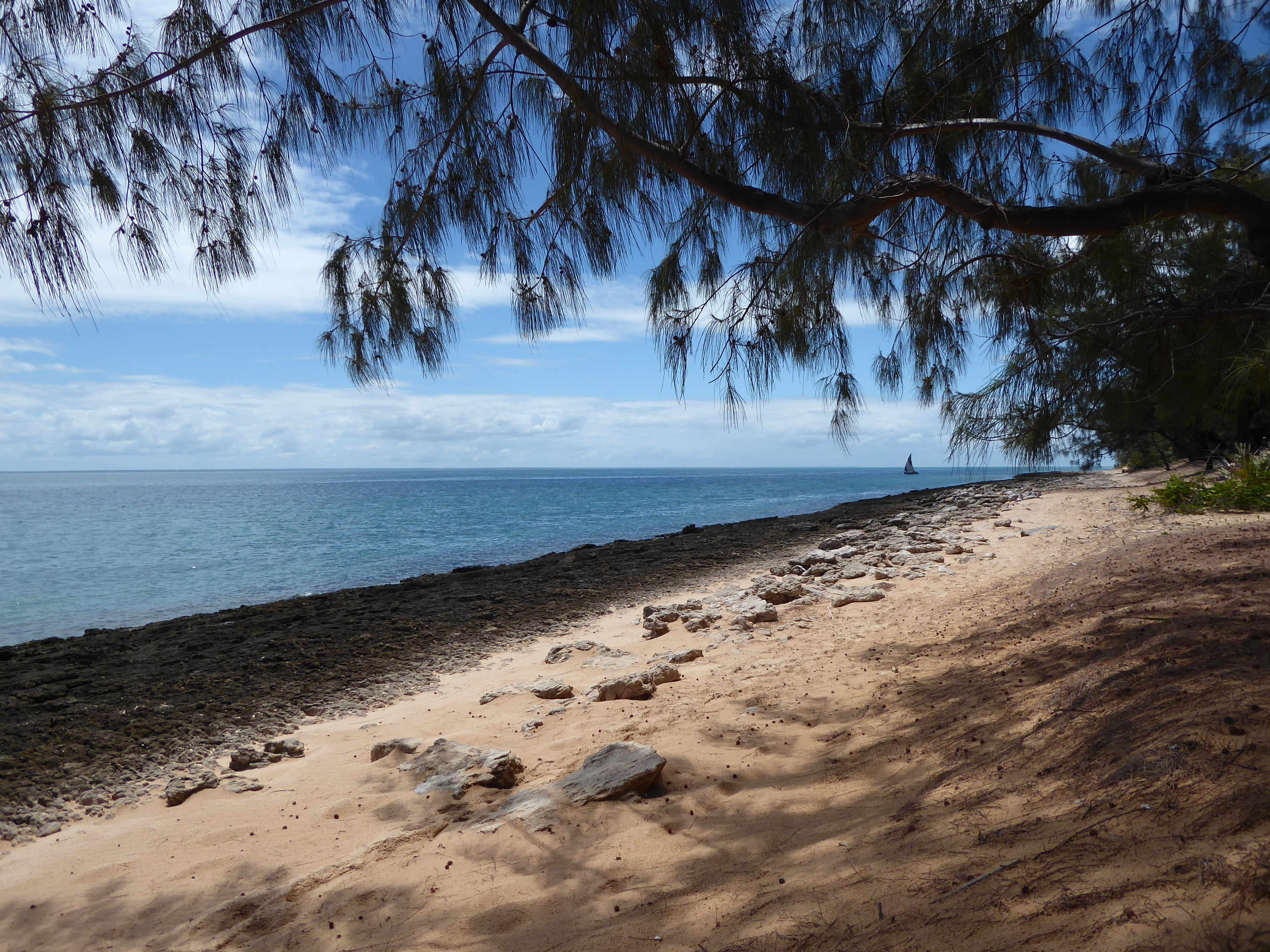
Bazaruto Island is located at approximately 21.66°S, 35.47°E, the largest and northernmost island of the Bazaruto Archipelago off the coast of southern Mozambique. From altitude, it appears as a long, narrow barrier island with massive orange-red sand dunes along the eastern shore and a sand spit extending from the northern tip. Settlement and fishing camps cluster along the sheltered western coast. A lighthouse is visible at the northern end. The island has an unpaved airstrip. Vilanculos International Airport (FQVL) is the nearest paved facility on the mainland, roughly 30 km to the southwest. Bazaruto Bay separates the island from the coast, with shallow turquoise water contrasting against the deeper Indian Ocean to the east.