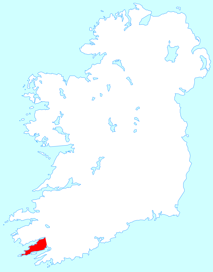
Beara Peninsula
One theory holds that the name Beara comes from a princess of Castile who married a warrior king of Ireland and was buried in a remote valley between two mountains. Another, more prosaic explanation links it to the Kerry dialect word bearrach -- rocks on the seashore against which the sea breaks with great force. Both stories fit. The Beara Peninsula, jutting into the Atlantic between Bantry Bay to the south and the Kenmare River to the north, is a place of force and romance in roughly equal measure. Two mountain ranges -- the Caha and the Slieve Miskish -- run down its spine. Its population peaked at 39,000 before the Great Famine. Fewer than 6,000 people live here now, on a landscape so rich in standing stones, dolmens, and stone circles that Bronze Age archaeology is practically a form of agriculture.
Five Thousand Years in Stone
The first signs of human activity on Beara date to around 3000 BC: traces of Early Bronze Age settlements in a landscape that would have been largely forested. What remains is extraordinary in its density. Over 70 standing stones, 22 stone rows, 38 dolmens, wedge tombs, and stone circles are scattered across the peninsula, many unmarked and unremarked upon. Viking settlement followed, evident in place names like Longhart, and the density of ringforts, cashels, cairns, and fulacht fiadh -- ancient cooking sites -- speaks to sustained Early Medieval occupation. Near Eyeries, the Ballycrovane Ogham Stone stands as the tallest of its kind in Europe, its carved notches recording a language that died centuries ago but whose alphabet was born from the landscape itself.
The Last Stand of O'Sullivan Beare
In the modern period, Beara became the seat of the O'Sullivan Beare clan, one of the last points of native Irish resistance after the devastating Battle of Kinsale in 1601. When the Gaelic order collapsed, Donal Cam O'Sullivan Beare led a desperate winter march from Beara to Leitrim with a thousand followers -- the inspiration for the Beara-Breifne Way, a long-distance walking route that traces his steps today. The tip of the peninsula at Allihies later became the site of major copper mines, an industry that attracted Cornish miners and inspired Daphne du Maurier's novel Hungry Hill. When France threatened invasion in the 1790s, the British responded by fortifying Bere Island with Martello towers and gun emplacements, remnants of which still dot the harbour at Castletownbere.
The Ring Less Travelled
The Ring of Beara -- a 148-kilometre road circuit -- is Beara's answer to the far more famous Ring of Kerry, and its relative obscurity is part of its appeal. Starting in Kenmare, it crosses the Healy Pass through Adrigole, passes Castletownbere, winds through Allihies, and offers turnoffs to Dursey Island (accessible by Ireland's only cable car) and the candy-coloured village of Eyeries. Castletownbere is one of Ireland's largest fishing ports and its largest white-fish port, a working harbour where trawlers and dive boats share the quay. At Glengarriff, Garnish Island -- a subtropical garden maintained by the Office of Public Works -- sits incongruously in Bantry Bay, its Italian-style architecture sheltered by the same Gulf Stream warmth that makes Beara's climate so mild.
Old Oak and Ancient Bees
Glengarriff Forest Nature Reserve covers 300 hectares of old sessile oak woodland, described as one of the finest examples of oceanic oak forest in Ireland. Non-native conifers and rhododendrons have been cleared in favour of native species, restoring a habitat that once stretched far more widely along the west coast. At the other end of the peninsula, the Beara Special Protection Area shelters an internationally important population of chough birds and breeding fulmars. But perhaps the most remarkable biological discovery came in 2021: a genetically unique population of dark European honey bees on the Beara Peninsula. Unlike other Apis mellifera mellifera in Ireland -- descendants of Dutch bees imported in the 1920s after the Isle of Wight Disease wiped out native populations -- the Beara bees showed a genetic identity unrelated to any known population, raising the possibility that they are a surviving remnant of the Old Irish Black Bee. They breed true, stubbornly refusing to cross with other subspecies in the area.
From the Air
The Beara Peninsula extends southwest into the Atlantic at approximately 51.73N, 9.84W, between Bantry Bay and the Kenmare River. Cork Airport (EICK) is about 110 km east. Kerry Airport (EIKY) is roughly 60 km north. From altitude, the peninsula is clearly defined by its twin mountain ranges (Caha and Slieve Miskish) running along the central spine, with Bere Island and Dursey Island visible at the western tip. Castletownbere harbour and the Healy Pass road are prominent features. The Ring of Beara road follows the coastline around the entire peninsula.