Bellingwedde
The name Bellingwedde does not refer to a real place that existed before 1968. It is a portmanteau — Bellingwolde plus Wedde, the two villages that were merged on 1 September 1968 into a single Dutch municipality on the border with Germany. The province of Groningen proposed Bellingewedde, the Bellingwolde council wanted Bellingwolde-Wedde, and the Wedde council suggested Bellingwedde. The province picked the last option, the Bellingwolde council eventually agreed, and so this small piece of the Netherlands acquired a name nobody had ever spoken before. On 1 January 2018, after exactly forty-nine years and four months, Bellingwedde merged with Vlagtwedde to form Westerwolde, and the invented name was retired. The villages it had described, however, are still there.
A Castle Called the Wedderborg
In the village of Wedde stands the Wedderborg, a borg — the Groningen word for a particular type of regional castle, halfway between a manor house and a fortress. The building you see today is mostly seventeenth-century, but it incorporates fourteenth, fifteenth, and sixteenth-century elements: thick walls, a moat, towers that have been raised and lowered as different owners rebuilt according to their taste. It is now a youth care facility, which is what happens to a great many small European castles when the families that built them eventually run out of money or descendants. The building still receives visitors — just not the kind who book a dinner reservation.
Five Windmills, One Per Village
The municipality contains five working windmills, scattered across its villages: De Korenbloem in Vriescheloo, Niemans Molen in Veelerveen, the Spinnenkop in Wedderveer, Veldkamps Meuln in Bellingwolde, and the Weddermarke in Wedde. The Spinnenkop is the smallest type — a 'spider mill' so named because of its squat profile — and was used for drainage rather than grain. The others are larger Dutch smock or post mills built for milling cereals. Five windmills in a municipality of fewer than ten thousand people gives a sense of how this landscape used to work. The wind was the cheap engine. Every village needed one. Most of these mills are now run by volunteer associations, kept turning so that the gears do not seize and the trade does not disappear from local memory.
The Fortified Village of Oudeschans
Oudeschans, one of the villages inside Bellingwedde, was built in 1593 as part of the Dutch defensive line against Spanish and later Münster armies trying to push north through the Bourtanger Moor. The village still has the shape of a star-fort, with grass-covered earthen ramparts surviving where the cannon used to point outward. The Vestingmuseum Oudeschans, a small history museum inside the old fortification, holds archaeological finds from the seventeenth and eighteenth centuries — buttons, musket balls, clay pipes, the small inventory of soldiers' lives. Most fortified villages in this region have been ploughed under or built over. Oudeschans kept its outline because the bog around it stayed wet long enough to make the fort worth maintaining, and the village kept it after the wars ended because nobody had a better idea what to do with it.
Bellingwolde and the Painter from California
Museum de Oude Wolden, in the village of Bellingwolde, holds the municipal collection — paintings by Lodewijk Bruckman, a Dutch artist who left the Netherlands as a young man, settled in California in the 1940s, and spent most of his career painting in a meticulous realist style that owed more to Dutch Golden Age still life than to any American school. He donated work to his home region late in life. The museum that holds his paintings now also curates rotating exhibitions about the art and history of the Oldambt and Westerwolde regions — the two cultural zones that meet inside what was Bellingwedde, the agricultural northern Oldambt and the forested southern Westerwolde. The municipality was always a hinge between them, and the museum tells that story in paintings.
Bordering Germany
Bellingwedde shared its eastern edge with Germany — the German municipalities of Rhede in Lower Saxony to the southeast and Bunde to the northeast. The provincial road N969 still runs from Blijham through Bellingwolde and Rhederbrug across the border to Rhede, one of those small European frontier crossings that nobody guards but everybody uses. The bus line 11 also crosses through the old municipality, ending at the star fortress of Bourtange just south of Vlagtwedde. The international border here was once defended by the great Bourtanger Moor bog; now it is just a line on the road map, with cyclists riding across it on summer afternoons and the German railway timetable posted at the next stop east.
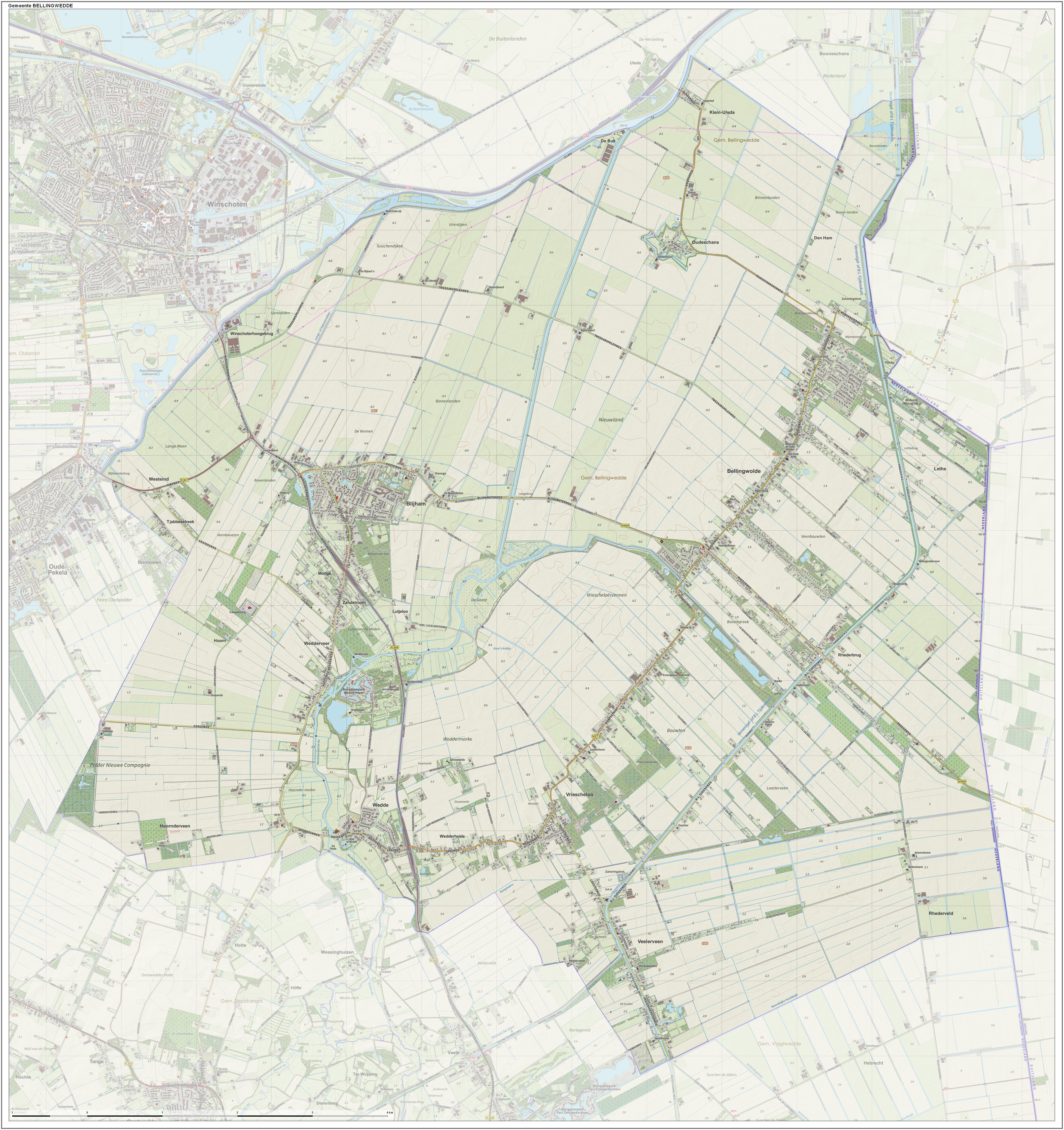
From the Air
Coordinates 53.07 N, 7.07 E, in the easternmost corner of Groningen province on the Dutch-German border, just south of the A7 (E22) motorway connecting Groningen to Leer in Germany. View from 3,000 to 4,500 feet — the former municipality includes the villages of Bellingwolde, Blijham, Oudeschans, Veelerveen, Vriescheloo, and Wedde, scattered across flat farmland with the Westerwoldse Aa river crossing from south to north. The star-shaped Oudeschans fortification and the Wedderborg castle are the most distinctive built features; five windmills are scattered through the villages. Nearest airport: Groningen Eelde (EHGG) to the west. Terrain is flat, near sea level (0–10 meters), with the maritime northern Dutch climate.