Bellows Air Force Station
The name still says Air Force, but the last runway closed in 1958. Bellows Air Force Station sits on Oahu's windward coast near Waimanalo, a strip of white sand and ironwood trees that began its military life as a sugarcane plantation in 1917 and spent the next century cycling through identities -- wartime airfield, Cold War radio relay, recreation beach, Marine Corps training ground. On the morning of December 7, 1941, a B-17 bomber nicknamed "Skipper" was forced to land here because Japanese aircraft had made Hickam Field unreachable. That emergency landing is among the quieter footnotes of a day defined by catastrophe, but it captures something essential about Bellows: always part of the larger story, never quite at its center.
Signals Across the Pacific
After the war, Bellows found a second life transmitting messages across the ocean. From the late 1950s through the satellite era, the station operated as the Air Force's long-haul high-frequency radio transmitter site in Hawaii. Highly directional Sloping V antennas aimed signals toward Clark Air Base in the Philippines and McClellan AFB in California, while message circuits routed through Hickam AFB near Pearl Harbor and bounced out from Bellows across thousands of miles of open water. The receiver site was deliberately placed at a distance to avoid interference from the powerful transmitters. When satellites replaced HF radio, that mission vanished too. In the same period, recreational gliders launched from the old runways, towed into the sky by trucks and riding updrafts off the Ko'olau Mountains for as long as the wind held.
A Beach With Barracks
Since 1958, Bellows has operated primarily as an Armed Forces Recreation Center. Beachfront duplex cabins line the shore, each with a charcoal barbecue and picnic table. Active duty, reserve, and retired military personnel can book camping spots or condominium-style apartments along one of Oahu's finest stretches of sand. There is a small shopette, a paintball course, and an outdoor adventure program called Turtle Cove. The setting is spectacular -- turquoise water backed by the jagged green wall of the Ko'olau Range -- and the prices are military rates, which makes Bellows one of the best-kept lodging secrets in Hawaii. The beach itself is open to civilians on weekends and federal holidays, drawing families who may not know they are sunbathing on a former wartime airstrip.
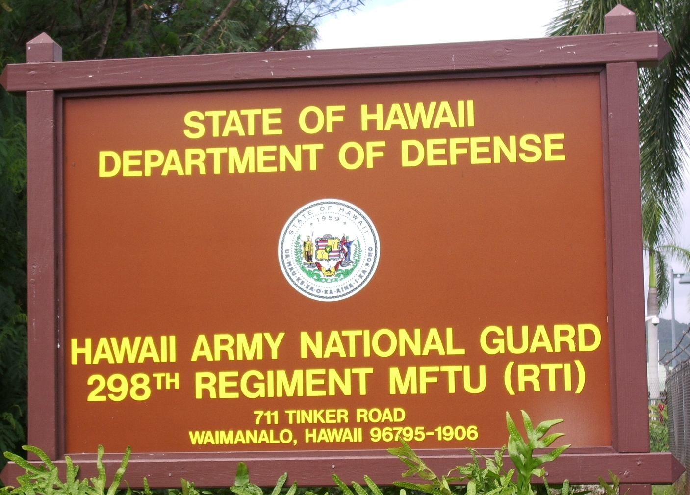
Where Marines Practice Landing
In 1999, the Marine Corps acquired a significant portion of Bellows from the Air Force. Marine Corps Training Area Bellows, now part of Marine Corps Base Hawaii at Kaneohe Bay, is the only place in the state where amphibious landings can transition directly into overland maneuver training. The old runway has been repurposed with a mock forward operating base and a modular urban terrain system built from 74 shipping containers arranged across four sites. Additional containers serve as a combat vehicle operators' course. Helicopters drop in for air assault exercises while landing craft practice beach approaches -- all within earshot of the recreation cabins. The juxtaposition is pure Hawaii military life: beach towels drying on one side of the tree line, amphibious assault rehearsals on the other.
The Graves and the Watershed
Hidden on the base grounds is the Bellows Japanese Cemetery, a small burial ground with approximately 57 graves and 45 markers inscribed primarily in Japanese. Most of the burials date to the 1910s, when Japanese laborers worked the sugarcane fields that preceded the military reservation. The most recent burial is from 1943. The cemetery is excluded from military use and remains a quiet memorial to a workforce that literally built the ground the base stands on. Nearby, a different kind of restoration is underway. The Nation of Hawai'i organization at Pu'uhonua o Waimanalo village is working to revive the traditional ahupua'a watershed-management system upstream from the base, while the Department of Defense removes invasive ironwood trees and restores sand dunes to combat beach erosion. Past, present, and competing visions of the land coexist here in a way that feels distinctly Hawaiian.
From the Air
Located at 21.37N, 157.71W on Oahu's windward (eastern) coast near Waimanalo. The former airfield and beach recreation area are visible as a long white sand strip backed by the steep Ko'olau Range. Nearest major airport is Daniel K. Inouye International Airport (PHNL), approximately 15 nautical miles to the west. Marine Corps Base Hawaii at Kaneohe Bay (PHNG) is nearby to the north. Best viewed at 1,500-3,000 feet AGL approaching from the ocean side.