Beni River
In 1947, a classified CIA report landed on an analyst's desk in Washington describing "heavily armed" settlements of escaped Nazis hidden along a river in northern Bolivia. The intelligence was never verified, but the river it described -- the Beni -- was exactly the kind of place where people could vanish. Flowing northeast from the Andean highlands north of La Paz, the Beni passes through some of the most biologically dense and least accessible terrain in South America before emptying into the Madre de Dios at Riberalta, near the Brazilian border.
From Mountains to Pampas
The Beni begins its life as a highland stream in the cloud forests north of La Paz, where the eastern slopes of the Andes shed their moisture in torrential rains. In its upper reaches, the river cuts through steep, forested gorges where rapids churn the water white -- including the famous Cachuela Esperanza, the "rapids of hope," which mark the upstream limit of navigation. As it descends, the Beni enters the dense lowland rainforest of Madidi National Park, where the Madidi and Tuichi rivers join from the west. The Tuichi meets the Beni just upstream from the small town of Rurrenabaque, gateway to both the park and the pampas beyond. Here the Andes end abruptly, and the landscape transforms from vertical to horizontal in a matter of kilometers.
The Flooded Savanna
North of Rurrenabaque, the Beni leaves the last foothills behind and enters the Llanos de Moxos -- also known as the Beni Savanna -- one of the largest tropical wetlands on Earth. Covering more than 6.9 million hectares, this immense floodplain spends three to four months of every year underwater. When the wet season arrives between November and April, the Beni's discharge can surge past 15,000 cubic meters per second, spreading across the flat terrain in a sheet of water that reaches depths of two meters in the lowest areas. During the dry season, the same landscape dries to cracked savanna grassland punctuated by forest islands. The Llanos de Moxos harbor 131 species of mammals, 568 species of birds, 102 reptiles, 62 amphibians, and at least 625 species of fish -- a concentration of biological diversity that rivals any wetland system on the planet.
Where Rivers Define Borders
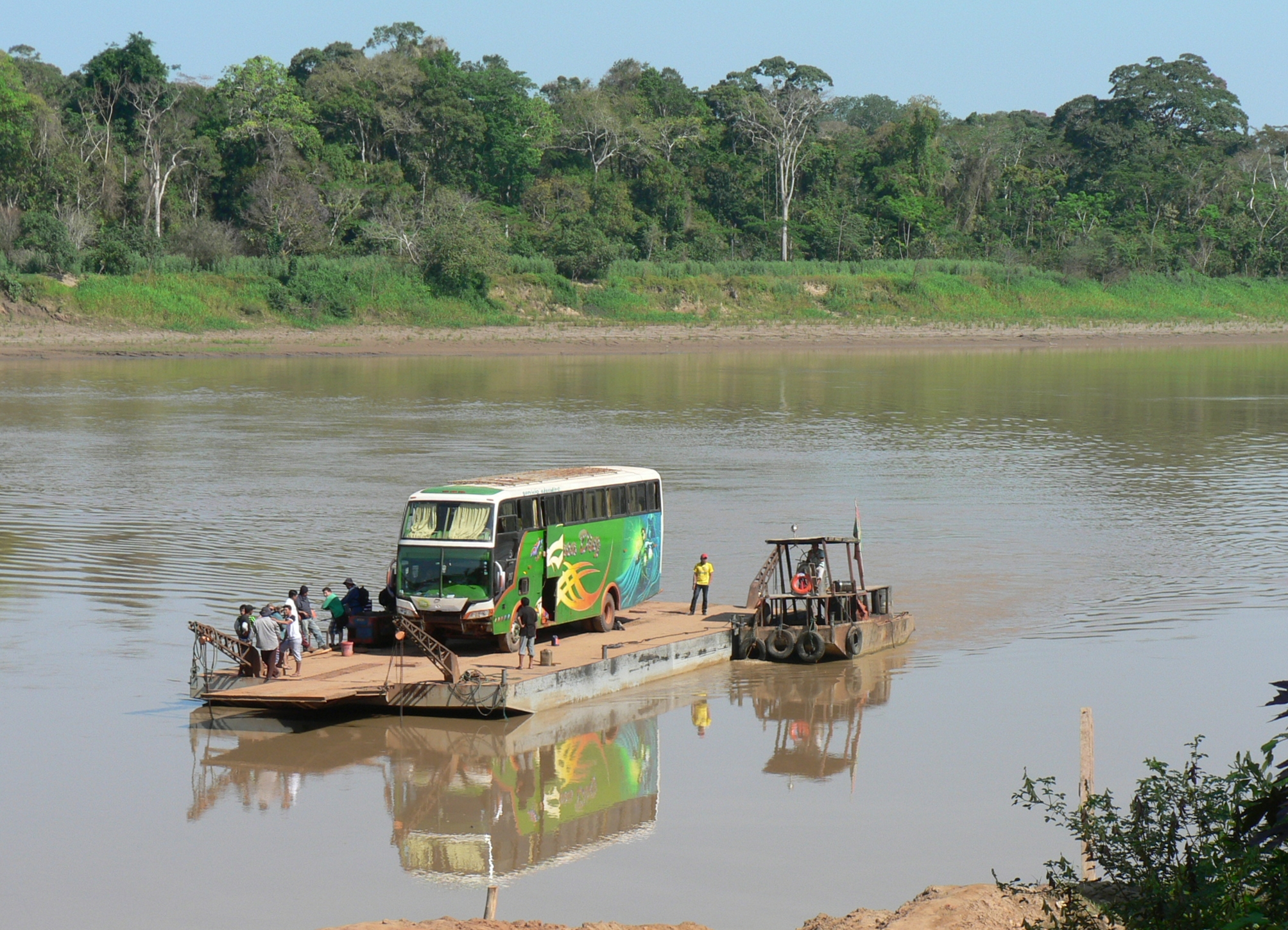
The Beni ends its journey at Riberalta, where it receives the waters of the Madre de Dios River. From there, the combined waters flow to their confluence with the Mamore, forming the Madeira -- the Amazon's largest tributary. Along the way, the Beni collects a network of minor tributaries, including intermittent streams like the Emero River that swell during the rains and nearly disappear during the dry months. During the rubber boom of the late nineteenth century, this river system was the highway of the latex trade: rubber tappers worked the forests along its banks, and the product was shipped downstream by canoe and steamboat to reach Atlantic markets via the Madeira. The town of Rurrenabaque, which today serves as a jumping-off point for jungle and pampas tours, owes its existence to its position at the geographic hinge where Andean Bolivia gives way to Amazonian Bolivia.
Wild Country, Still
The Beni's remoteness has always been its defining quality. Madidi National Park, which flanks the river's middle course, is considered one of the most biodiverse protected areas in the world, stretching from Andean glaciers above 6,000 meters down to lowland rainforest below 200 meters. The river itself remains largely unregulated -- no major dams interrupt its flow, and navigation depends on seasonal water levels rather than engineering. That 1947 CIA report about hidden Nazi settlements was almost certainly wrong about its subjects, but it captured something true about the landscape: the Beni corridor, with its combination of dense forest, seasonal flooding, and vast distances from any major city, remains a place where the human footprint is light and the river sets the terms.
From the Air
The Beni River is visible as a winding, sediment-laden waterway flowing northeast from the Andean foothills near La Paz. Coordinates at the Riberalta confluence: 10.38S, 65.39W. Rurrenabaque (SLRQ) sits along the river where the Andes meet the lowlands. The transition from mountainous terrain to flat savanna is dramatic from altitude. During the wet season (November-April), the Llanos de Moxos appear as an enormous lake from above 15,000 feet. During the dry season, the savanna shows as golden-brown grassland with the river as a dark thread.