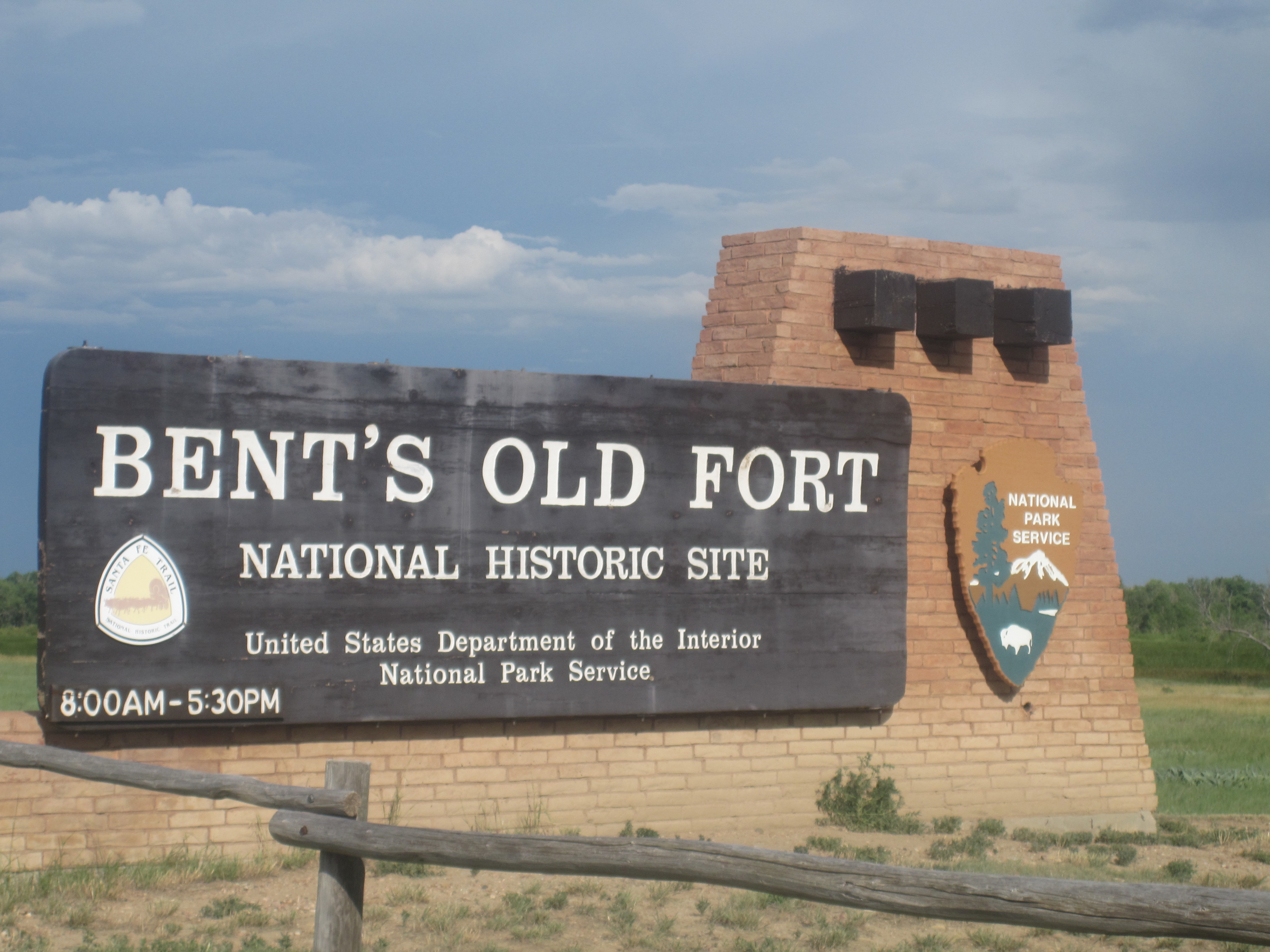
Bent's Old Fort National Historic Site
Kit Carson hunted buffalo for the owners. John C. Fremont staged his western expeditions from its walls. Colonel Stephen Watts Kearny mustered his Army of the West here before marching into Mexico. Between 1833 and 1849, Bent's Old Fort stood as the sole permanent American settlement along the entire Santa Fe Trail between Missouri and the Mexican territories -- a massive adobe compound rising from the shortgrass prairie of southeastern Colorado like a landlocked ship. Built by brothers Charles and William Bent along with their partner Ceran St. Vrain, the fort was never a military outpost. It was a trading empire's headquarters, and for sixteen years, everyone heading west had to pass through its heavy wooden gates.
An Empire Built on Buffalo Robes
The Bent, St. Vrain Company chose this spot on the Arkansas River with care. The river marked the boundary between the United States and Mexico, making the fort a natural bridge between two nations' economies. The company obtained Mexican trading licenses and paid customs duties, maintaining operations on both sides of the border. Their primary business was trading with the Southern Cheyenne and Arapaho peoples for buffalo robes -- the prized commodity that fueled the frontier economy. The enterprise grew into a network of outposts: Fort Saint Vrain to the north, Fort Adobe to the south, and company stores in Taos and Santa Fe. William Bent married Owl Woman, a Cheyenne woman, cementing the relationships that made the business thrive.
Walls That Meant Business
The fort was an imposing structure of adobe bricks -- 180 feet long and 135 feet wide, with walls rising 15 feet high and four feet thick. Hexagonal bastions on the northwest and southeast corners mounted cannon overlooking the plains. The walls were loopholed for musketry, and entrance required passing through massive wooden gates built of heavy timbers. Inside, all rooms faced inward onto a central courtyard plaza. Upstairs quarters housed visiting gentlemen traveling the Trail. A billiard room occupied the second floor -- an unexpected touch of leisure in a structure that was, at the time, the strongest fortification west of Fort Leavenworth. The construction took four years to complete, a testament to the ambition the Bent brothers carried into the wilderness.
Crossroads of the West
The fort's guest list reads like a who's who of the American frontier. Kit Carson signed on as a hunter for the Bent brothers in 1841, making the fort his regular base of operations. Explorer John C. Fremont used it as both a staging area and resupply point for his western expeditions. During the Mexican-American War in 1846, Colonel Stephen Watts Kearny assembled his Army of the West at Bent's Fort before marching south to seize New Mexico. Travelers, soldiers, and traders all stopped here to replenish water and food, repair their wagons, and prepare for the next leg of their journey. For a brief window of history, this single adobe compound on the Arkansas was the pivot point of American westward expansion.
Abandonment and Resurrection
In 1849, a devastating cholera epidemic swept through the Cheyenne and other Plains Indian communities, shattering the trade networks that sustained the fort. William Bent abandoned the compound and moved north to Fort Saint Vrain on the South Platte River. When he returned south in 1852, he chose a new location at Big Timbers, near present-day Lamar, Colorado, eventually building a stone fort there in 1853. The original adobe walls crumbled back toward the earth. More than a century later, in 1976, archaeologists and historians reconstructed the fort using excavation findings, original sketches and paintings, period diaries, and a fair amount of educated guesswork. Today, the reconstructed fort stands as a National Historic Site, designated in 1960, letting visitors walk the same courtyard where mountain men once traded stories and buffalo robes changed hands.
From the Air
Located at 38.04N, 103.43W in Otero County, southeastern Colorado, along the Arkansas River. The reconstructed adobe fort is visible from lower altitudes as a distinct rectangular compound against the surrounding prairie. Best viewed at 2,000-3,000 feet AGL. Nearest airport is La Junta Municipal Airport (KLHX), approximately 8 miles to the east. The Arkansas River provides a clear navigation reference running east-west past the site. The terrain is flat shortgrass prairie, so the fort structure stands out clearly in good visibility conditions.