Bheemunipatnam
The Dutch called it Bimilipatnam. The British made it their primary trading base on India's east coast. The Buddhists were here two thousand years before either of them arrived. Bheemunipatnam, known locally as Bheemili, sits where the Gosthani River meets the Bay of Bengal about 30 kilometers north of Visakhapatnam, and its layered history reads like a compressed timeline of South Asian civilization. Named after Bhima, the mighty warrior of the Mahabharata, the town today is a quiet suburb of the Greater Visakhapatnam Municipal Corporation. But its crumbling colonial cemeteries, hilltop Buddhist ruins, and 19th-century lighthouse tell a story that stretches from the 3rd century BCE to the container ships that still pass its coast.
Monks on the Hilltop
Long before European sails appeared on the horizon, Bheemunipatnam was a center of Buddhist learning and practice. On the hillock called Pavurallakonda, also known locally as Narsimhaswami Konda, archaeological excavations have uncovered Buddhist remains dating to the 3rd century BCE, including relic caskets. Both major schools of Buddhism, Hinayana and Mahayana, were propagated from this region, and the port of the Gosthani River served as a departure point for monks carrying the dharma to lands farther east. Pavurallakonda is not an isolated site. It belongs to an arc of Buddhist monasteries and stupas along this stretch of coast: Bojjannakonda, Bavikonda, Lingalakonda, Salihundam, and Thotlakonda all lie within reach, forming one of the densest concentrations of ancient Buddhist sites anywhere in India.
Flags Over the Coromandel
The Dutch East India Company established a trading post at Bheemunipatnam in the 17th century, making it one of their major settlements along the Coromandel Coast. The town had a currency mint, a fort, and a Christian cemetery that remains one of the oldest on India's eastern seaboard. The Portuguese visited around the same period, and St. Peter's Church from that era still stands as a testament to the overlapping colonial ambitions that shaped the town. In 1754, Maratha troops plundered Bheemunipatnam, prompting the local regent to allow the Dutch to build a proper fort. The military engineer Coenraad Pieter Keller drew up the plans, but the fort he designed collapsed twice, forcing Keller to defend himself before his superiors in Batavia. The British East India Company eventually displaced the Dutch, turning Bheemunipatnam into their main trading base on the east coast. Passenger vessels once ran from the Bhimili port to Madras and Calcutta, and the British built a clock tower that still rises above the town center.
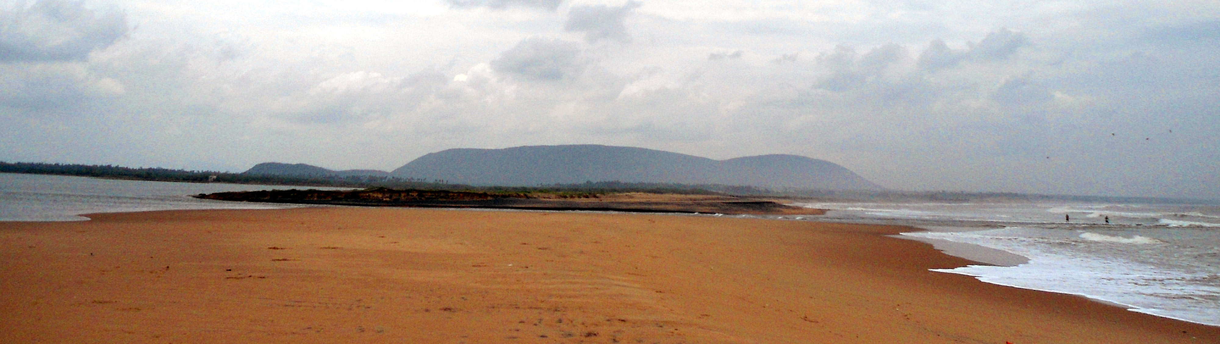
A Port That Made Way
Until 1958, large ships from Malaysia and Singapore docked at Bheemunipatnam's harbor. The town exported perfumes, textiles, and coconut products from the plantations that lined its beaches. But the British had decided that Visakhapatnam's deeper harbor better served their strategic and commercial interests, and they gradually redirected maritime traffic southward. The Bheemunipatnam Port Trust was effectively closed to major shipping during British rule, sacrificed to the development of what would become one of India's largest ports. A lighthouse built in 1868 during the Dutch settlement period still stands on the shores of Bheemili Beach, a stone witness to the era when this was the more important harbor. The Andhra Pradesh government has discussed reopening the port, but for now the lighthouse watches over fishing boats and weekend visitors rather than merchant vessels.
Where Rivers End and Empires Layer
Stand at the confluence of the Gosthani River and the Bay of Bengal, and you can see most of what makes Bheemunipatnam remarkable without turning your head. The river mouth opens onto a wide sandy beach flanked by coconut palms. To the south, Rushikonda's rocky headlands mark the beginning of Visakhapatnam's urban sprawl. To the north, the forested hills hide Buddhist ruins that predate the Roman Empire. A 14th-century Hindu temple dedicated to Lord Narasimha sits on the eastern face of Pavurallakonda, facing the sea, built by the Mindi Kings. Two older temples in town, Bheemeswaralayam and Choleswaralayam, date to the Chola period. The town has a population of about 44,000, an average literacy rate of 60 percent, and the kind of unhurried atmosphere that comes from being overshadowed by a larger neighbor. Bheemili does not compete with Visakhapatnam. It simply remembers what came before.
From the Air
Located at 17.89°N, 83.45°E where the Gosthani River meets the Bay of Bengal, approximately 30 km north of central Visakhapatnam. Nearest airport is Visakhapatnam (VOVZ/VTZ), about 40 km to the south-southwest. From the air, the Gosthani River confluence is a distinctive feature, with the town's lighthouse visible on the beachfront. The hillock of Pavurallakonda and the Dutch colonial ruins provide additional visual markers along the coast. Bhogapuram lies to the north.