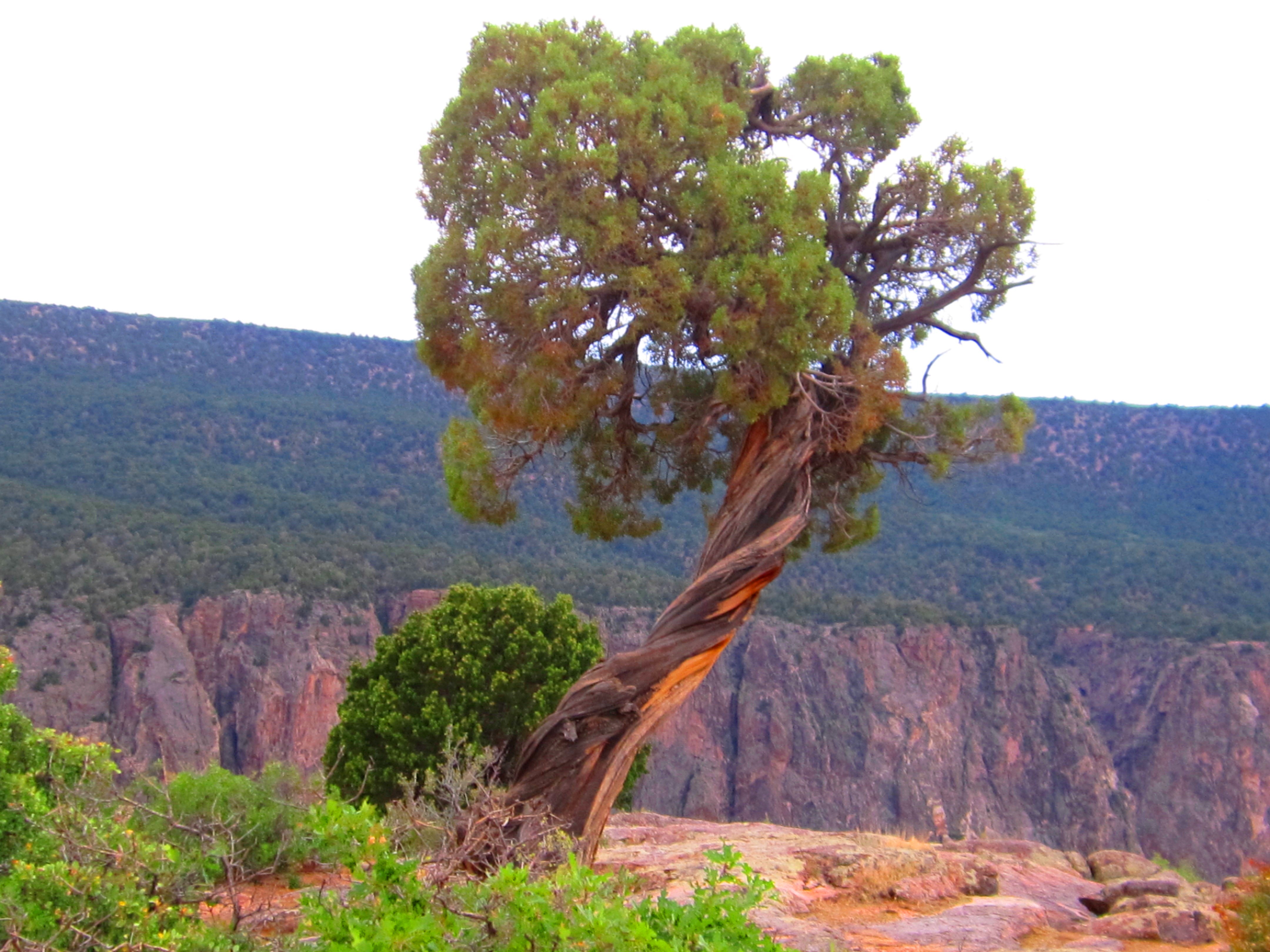
Black Canyon of the Gunnison National Park
Thirty-three minutes. That is how much sunlight reaches the deepest parts of the Black Canyon of the Gunnison on some days -- barely enough time to eat lunch. The walls of Precambrian gneiss and schist, 1.7 billion years old, rise so steeply and press so close together that the gorge exists in near-permanent shadow. The Ute people, who knew this river long before Europeans arrived, called it "much rocks, big water" and stayed away. Author Duane Vandenbusche put it plainly: "Several canyons of the American West are longer and some are deeper, but none combines the depth, sheerness, narrowness, darkness, and dread of the Black Canyon."
The Iron Horse Meets Its Match
In 1881, William Jackson Palmer's Denver and Rio Grande Railroad reached Gunnison from Denver, built to service the gold and silver mines of the San Juan Mountains. The rugged terrain forced Palmer to use narrow-gauge rail. Irish and Italian laborers spent over a year carving a roadbed from Sapinero to Cimarron at a staggering cost of 65,000 per mile. The last mile alone reportedly cost more than the entire Royal Gorge project. On August 13, 1882, the first passenger train passed through the Black Canyon. The editor of the Gunnison Review-Press, riding in an observation car, declared it "undoubtedly the largest and most rugged canyon in the world traversed by the iron horse." But Palmer wanted more. He sent his top engineer, Bryan Bryant, to survey the inner canyon for further rail expansion. Bryant set off in December 1882 with a 12-man crew, expecting to finish in 20 days. Eight men fled within days, terrified. Bryant returned after 68 days to report that the Black Canyon was impenetrable -- impossible to build anything in its depths.
Two Men, a Rubber Raft, and Ten Days
In 1901, the U.S. Geological Survey sent Abraham Lincoln Fellows and William Torrence into the canyon to find a site for a water diversion tunnel to serve the parched Uncompahgre Valley. A previous expedition in September 1900, using wooden boats, had failed. Torrence, a Montrose native and expert mountaineer who had been on that failed attempt, knew better than to repeat the mistake. He and Fellows chose a specially made multi-chambered rubber raft with a lifeline all the way around it. On August 12, 1901, the two men entered the canyon carrying hunting knives, two silk lifeline ropes, rubber bags for their instruments, and 35-pound packs each. For ten days they climbed over rock falls, descended waterfalls, and swam more than 70 sections of the river. After 30 miles, they emerged with the first recorded descent of the canyon -- and a suitable tunnel site.
Boring Through the Dark
Construction on the Gunnison Tunnel began four years after Fellows and Torrence's expedition, and the difficulties started immediately. Workers contended with high carbon dioxide levels, extreme temperatures, humidity, water, mud, shale, sand, and a fractured fault zone. It took nearly a year just to bore through 2,000 feet of water-filled rock. The tunnel was driven through granite, quartzite, gneiss, shale, sandstone, coal, and limestone. The earliest work was done manually and by candlelight: one miner holding and rotating the drill while a second swung a sledgehammer to drive it into rock. Despite good pay and benefits, most men lasted only two weeks before quitting. The tunnel eventually diverted water from the Gunnison River to the Uncompahgre Valley, transforming the region's agriculture. Today, the East Portal of the tunnel is accessible from the South Rim, and the diversion dam is visible from the campground.
A Billion Years of Darkness
The Black Canyon's extreme geometry is the product of geologic forces spanning billions of years. The Precambrian gneiss and schist forming the canyon walls date to 1.7 billion years ago, created when volcanic island arcs collided with what is now southern Wyoming. Lighter-colored pegmatite dikes crosscut these ancient basement rocks. The Laramide orogeny, between 70 and 40 million years ago, uplifted this Precambrian rock as part of the Gunnison Uplift. Then, from 35 to 26 million years ago, massive volcanism from the West Elk Mountains, La Sal Mountains, and others buried the area under thousands of feet of volcanic ash. The modern Gunnison River established its course about 15 million years ago, cutting through the soft volcanic deposits before encountering the hard metamorphic rock beneath -- and continuing to carve downward with relentless force. The river drops an average that makes it the fifth steepest mountain descent in North America, steeper per mile than the Colorado River through the Grand Canyon.
Into the Park
Established as a national monument on March 2, 1933, the Black Canyon was redesignated a national park on October 21, 1999, incorporating 4,000 additional acres from the Bureau of Land Management. The Civilian Conservation Corps built the North Rim Road during 1933-35, including five miles of roadway and five overlooks now listed on the National Register of Historic Places. About half the park was designated wilderness in 1976. The canyon today draws roughly 190,000 visitors per year. The Gunnison River within the park is designated Gold Medal Water -- a premier trout fishery limited to artificial flies and lures, with all rainbow trout catch-and-release. Rock climbers know the Black Canyon as one of the premier traditional climbing destinations in the American West, though most routes are suited only to advanced climbers. Wildlife ranges from pronghorn, elk, and black bear on the rims to American dippers, peregrine falcons, and canyon wrens in the gorge itself.
From the Air
Located at 38.580N, 107.728W in western Colorado east of Montrose. The Black Canyon is unmistakable from the air -- a dark, narrow gash in the plateau with the Gunnison River threading the bottom. The South Rim is more accessible; the North Rim road closes in winter. Recommended viewing altitude: 3,000-5,000 feet AGL to appreciate the canyon depth and narrowness. Nearest airports: Montrose Regional (KMTJ) approximately 12 nm west, and Gunnison-Crested Butte Regional (KGUC) approximately 40 nm east. Be aware of mountain weather conditions, turbulence near canyon rims, and rapidly changing visibility. Curecanti National Recreation Area and Blue Mesa Reservoir are visible upstream to the east.