Black Diamond Mines Regional Preserve
Most of the graves at Rose Hill Cemetery belong to children. Smallpox, scarlet fever, diphtheria, typhoid: the diseases that stalked 19th-century mining towns took the young first. The cemetery sits on a hillside between Nortonville and Somersville, two of five towns that once thrived here on California's only significant coal deposits. Ansel Adams photographed the Italian Cypress trees in 1960, calling his image "Poplars, Cemetery near Mount Diablo." By then, the towns had been abandoned for decades, their gravestones vandalized or used as scratching posts by cattle. The children's names, where they survive, mark a frontier childhood that few completed.
The Bay Miwok Boundary
For 13,000 years before the coal mines, three Bay Miwok tribes shared this land. The Chupcan lived west toward Concord, the Volvon occupied Mount Diablo to the south, and the Ompin held the territory north to Pittsburg and the waterways beyond. The preserve sits at their boundary, a meeting place before it became an extraction zone. Between 1804 and 1811, Spanish military raids and the mission system scattered these peoples to Mission Dolores and Mission San Jose, where they were baptized and absorbed. The land they left behind held black treasure no one yet valued.
Four Million Tons of Black Diamond
The coal was low-grade, sub-bituminous lignite, but in 19th-century California it was the only readily accessible source. The Mount Diablo Coalfield produced over 4 million tons, powering the railroads, ships, and heavy industry of a state without petroleum. Twelve mines bore into these hills: Empire, Central, Star, Corcoran, Pittsburg, Manhattan, Eureka, Independent, Union, Black Diamond, Mt. Hope, and Cumberland. Three railroads carried the coal to the San Joaquin River for barge shipment to San Francisco, Sacramento, and Stockton. The mineral's dark gleam earned it the nickname that names the preserve today.
Nortonville's Thousand Souls
The largest town, Nortonville, reached a peak population of about 1,000. Somersville, Stewartville, West Hartley, and Judsonville filled the valleys to the east. When an 1876 mine explosion killed 11 men, the citizens of Nortonville raised $300 to erect a white bronze monument at Rose Hill Cemetery. That monument was stolen or destroyed sometime after the 1930s. William Gething, age 36, lies near seven other men who died in the same blast. Imported coal and petroleum eventually made California's lignite uneconomical. The towns emptied. The mines closed. The hills reclaimed their silence.
From Ancient Seas to Shallow Marshes
The coal formed during the Eocene epoch, when tectonic forces lifted the continental shelf and created shallow marshes at the edge of a sea that covered California's Central Valley. The Pacific Ocean reached the lower Sierra Nevada; the coastline sat hundreds of miles east of today's beaches. Sediment accumulated in those marshes, compressed over millions of years into the soft black rock that would briefly fuel a civilization. The sandstone hills visible today date from the same geological drama, when the North American Plate rode over the Pacific in a subduction zone that still shapes California.
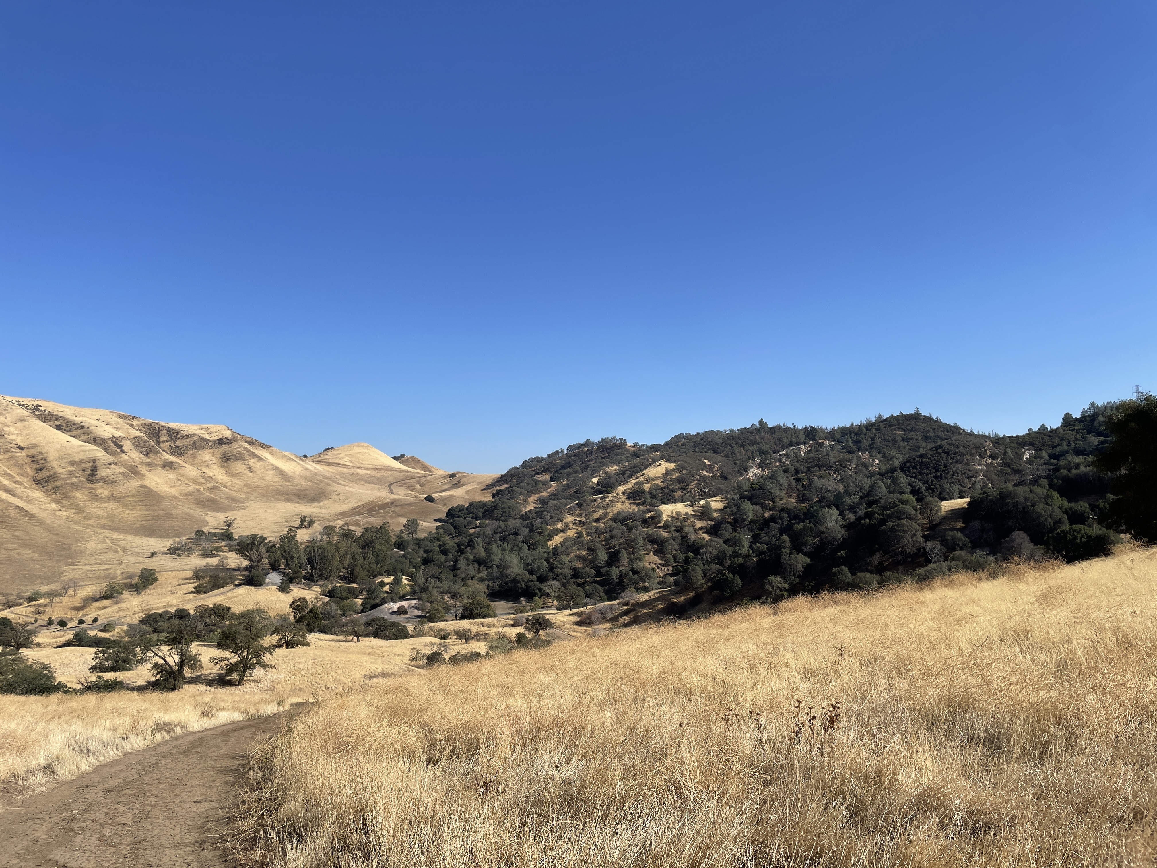
Walking Through History
Today the East Bay Regional Park District maintains over 65 miles of trails through the preserve's grasslands, oak woodlands, and chaparral. The Prospect Tunnel opens its first 400 feet to visitors, a public window into the mine workings that honeycomb these hills. The Greathouse Portal houses a museum reconstructing the Hazel-Atlas sand mining works as they appeared around 1940. In 2016, a developer who had planned a gated community donated 632 acres, valued at $3.5 million, after the housing market made his project unviable. The ghost towns gained breathing room. The children at Rose Hill gained permanent neighbors in the living.
From the Air
Black Diamond Mines Regional Preserve (37.9503N, -121.8569W) lies north of Mount Diablo in Contra Costa County. From 3,000-4,000 feet AGL, look for the rolling foothill terrain and the distinctive break between oak woodland and grassland. Buchanan Field (KCCR) in Concord is 8nm west; Byron (C83) is 12nm southeast. The Rose Hill Cemetery is visible as a cleared hillside with scattered trees between the former Nortonville and Somersville townsites.